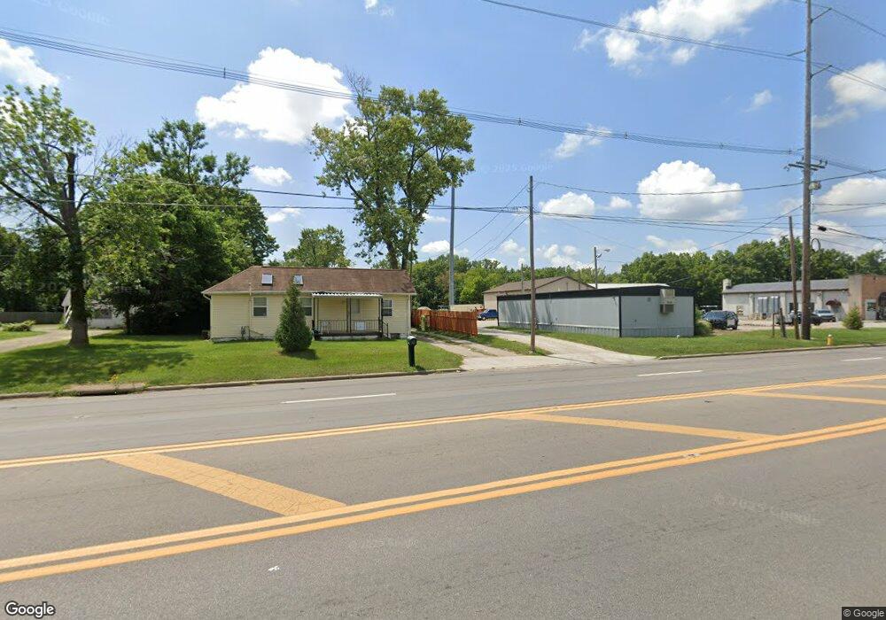
2173 Frank Rd Columbus, OH 43223
Estimated Value: $111,000
2
Beds
1
Bath
860
Sq Ft
$129/Sq Ft
Est. Value
About This Home
This home is located at 2173 Frank Rd, Columbus, OH 43223 and is currently priced at $111,000, approximately $129 per square foot. 2173 Frank Rd is a home located in Franklin County with nearby schools including James A Harmon Elementary School, Franklin Woods Intermediate School, and Finland Middle School.
Ownership History
Date
Name
Owned For
Owner Type
Purchase Details
Closed on
Oct 31, 2018
Sold by
France Mary L
Bought by
Franklin Township Boardof Trustees
Current Estimated Value
Home Financials for this Owner
Home Financials are based on the most recent Mortgage that was taken out on this home.
Interest Rate
4.54%
Purchase Details
Closed on
Sep 11, 2018
Bought by
Stanley William G and Stanley Megan M
Home Financials for this Owner
Home Financials are based on the most recent Mortgage that was taken out on this home.
Interest Rate
4.54%
Purchase Details
Closed on
Mar 31, 2009
Sold by
Goode William T
Bought by
Goode William T and Goode Deborah L
Purchase Details
Closed on
Jul 7, 1987
Bought by
France France T and France Mary L
Purchase Details
Closed on
Jul 1, 1987
Create a Home Valuation Report for This Property
The Home Valuation Report is an in-depth analysis detailing your home's value as well as a comparison with similar homes in the area
Home Values in the Area
Average Home Value in this Area
Purchase History
| Date | Buyer | Sale Price | Title Company |
|---|---|---|---|
| Franklin Township Boardof Trustees | -- | Elite Land Title | |
| Stanley William G | $826,000 | -- | |
| Goode William T | -- | Trinity Tit | |
| France France T | $39,900 | -- | |
| -- | -- | -- |
Source: Public Records
Mortgage History
| Date | Status | Borrower | Loan Amount |
|---|---|---|---|
| Previous Owner | Stanley William G | -- |
Source: Public Records
Tax History Compared to Growth
Tax History
| Year | Tax Paid | Tax Assessment Tax Assessment Total Assessment is a certain percentage of the fair market value that is determined by local assessors to be the total taxable value of land and additions on the property. | Land | Improvement |
|---|---|---|---|---|
| 2024 | -- | $36,090 | $13,860 | $22,230 |
| 2023 | -- | $36,085 | $13,860 | $22,225 |
| 2022 | $0 | $33,530 | $14,560 | $18,970 |
| 2021 | $0 | $33,530 | $14,560 | $18,970 |
| 2020 | $0 | $33,530 | $14,560 | $18,970 |
| 2019 | $2,062 | $26,430 | $12,150 | $14,280 |
| 2018 | $687 | $26,430 | $12,150 | $14,280 |
| 2017 | $978 | $26,430 | $12,150 | $14,280 |
| 2016 | $589 | $15,900 | $7,040 | $8,860 |
| 2015 | $274 | $15,900 | $7,040 | $8,860 |
| 2014 | $547 | $15,900 | $7,040 | $8,860 |
| 2013 | $300 | $16,730 | $7,420 | $9,310 |
Source: Public Records
Map
Nearby Homes
- 0 S Central Ave
- 1949 Big Run Bluffs Blvd
- 1948 Big Run Bluffs Blvd
- 4745 Big Run Rd E
- 1543 Red Leaf Ln
- 2210 October Ridge Dr
- 2436 Onyx Ct
- 2195 Big Run Ave
- 0 Glencreek Rd
- 2103 Keller Place W
- 2894 Creith Ct
- 2255 Harrisburg Pike
- 2154 Drumlin Dr
- 1417 Fahy Dr
- 2242 Topaz Dr
- 2336 Woodbrook Cir N Unit 92 B
- 2272 Anndel Ct
- 2362 Woodbrook Cir N Unit 81
- 2272 Topaz Dr
- 1520 Fall Brook Rd
- 2153 Frank Rd
- 2139 Frank Rd
- 2154 Frank Rd
- 2123 Frank Rd
- 2215 Frank Rd
- 2113 Frank Rd
- 1820 Harrisburg Pike
- 1828 Harrisburg Pike
- 2107 Frank Rd
- 2122 Frank Rd
- 1836 Harrisburg Pike
- 2142 Frank Rd
- 2099 Frank Rd
- 0 Harrisburg Pike
- 1850 Harrisburg Pike
- 1356 Harrisburg Pike
- 1390 Harrisburg Pike
- 1047 Harrisburg Pike
- 2087 Frank Rd
- 1858 Harrisburg Pike