2174 Riverside Dr Mobile, AL 36605
McVoy NeighborhoodEstimated Value: $268,000 - $728,000
2
Beds
2
Baths
1,414
Sq Ft
$384/Sq Ft
Est. Value
About This Home
This home is located at 2174 Riverside Dr, Mobile, AL 36605 and is currently estimated at $542,684, approximately $383 per square foot. 2174 Riverside Dr is a home located in Mobile County with nearby schools including Dr. Robert W. Gilliard Elementary School and Ben C Rain High School.
Ownership History
Date
Name
Owned For
Owner Type
Purchase Details
Closed on
Oct 28, 2009
Sold by
Ankersen Neal F and Ankersen Joanne J
Bought by
Strain David W and Strain Brenda P
Current Estimated Value
Home Financials for this Owner
Home Financials are based on the most recent Mortgage that was taken out on this home.
Original Mortgage
$156,800
Interest Rate
4.93%
Mortgage Type
New Conventional
Purchase Details
Closed on
Nov 6, 1998
Sold by
Ankersen Louie J and Ankersen Frances L
Bought by
Ankersen Neal F and Ankersen Joanne J
Home Financials for this Owner
Home Financials are based on the most recent Mortgage that was taken out on this home.
Original Mortgage
$168,000
Interest Rate
6.65%
Create a Home Valuation Report for This Property
The Home Valuation Report is an in-depth analysis detailing your home's value as well as a comparison with similar homes in the area
Home Values in the Area
Average Home Value in this Area
Purchase History
| Date | Buyer | Sale Price | Title Company |
|---|---|---|---|
| Strain David W | -- | None Available | |
| Ankersen Neal F | -- | -- |
Source: Public Records
Mortgage History
| Date | Status | Borrower | Loan Amount |
|---|---|---|---|
| Closed | Strain David W | $156,800 | |
| Previous Owner | Ankersen Neal F | $168,000 |
Source: Public Records
Tax History
| Year | Tax Paid | Tax Assessment Tax Assessment Total Assessment is a certain percentage of the fair market value that is determined by local assessors to be the total taxable value of land and additions on the property. | Land | Improvement |
|---|---|---|---|---|
| 2025 | $2,897 | $51,340 | $9,830 | $41,510 |
| 2024 | $2,897 | $49,260 | $9,830 | $39,430 |
| 2023 | $2,778 | $51,910 | $11,200 | $40,710 |
| 2022 | $2,771 | $49,330 | $10,000 | $39,330 |
| 2021 | $2,603 | $46,370 | $10,000 | $36,370 |
| 2020 | $2,614 | $46,560 | $10,000 | $36,560 |
| 2019 | $2,550 | $45,460 | $0 | $0 |
| 2018 | $2,887 | $45,460 | $0 | $0 |
| 2017 | $2,831 | $44,580 | $0 | $0 |
| 2016 | $884 | $13,920 | $0 | $0 |
| 2013 | $893 | $13,920 | $0 | $0 |
Source: Public Records
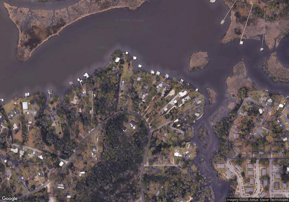
Map
Nearby Homes
- 0 Riverside Dr Unit 7530346
- 2012 Archer Ln
- 3009 Alston Dr
- 2637 Robin Hood Dr
- 1715 Gulfdale Dr
- 3163 Morgan Rd
- 2381 Willowdale St
- 2705 Riverside Dr
- Lot 41 Caster St Unit 41
- Lot 41 Caster St
- 1808 Caster St Unit 40/5S/1W
- 1808 Caster St
- 3200 Morgan Rd
- 0 Caster St Unit 7663792
- 0 Caster St Unit 41
- 3256 Dauphin Island Pkwy
- 2905 Lott Dr
- 3316 Anson Ct
- 2717 Riverside Dr
- 3035 Dauphin Island Pkwy
- 3005 Riverside Dr
- 2180 Riverside Dr
- 2196 Riverside Dr
- 2200 Riverside Dr
- 3007 Riverside Dr
- 3007A Riverside Dr
- 2205 Riverside Dr
- 2206 Riverside Dr
- 2160 Grove Ct
- 3013 Riverside Dr
- 3054 Riverside Dr
- 3011 Riverside Dr
- 3011 Riverside Dr Unit 30
- 2210 Riverside Dr
- 2167 Grove Ct
- 2212 Riverside Dr
- 2154 Grove Ct
- 2163 Grove Ct
- 3015 Riverside Dr
- 2157 Grove Ct
Your Personal Tour Guide
Ask me questions while you tour the home.