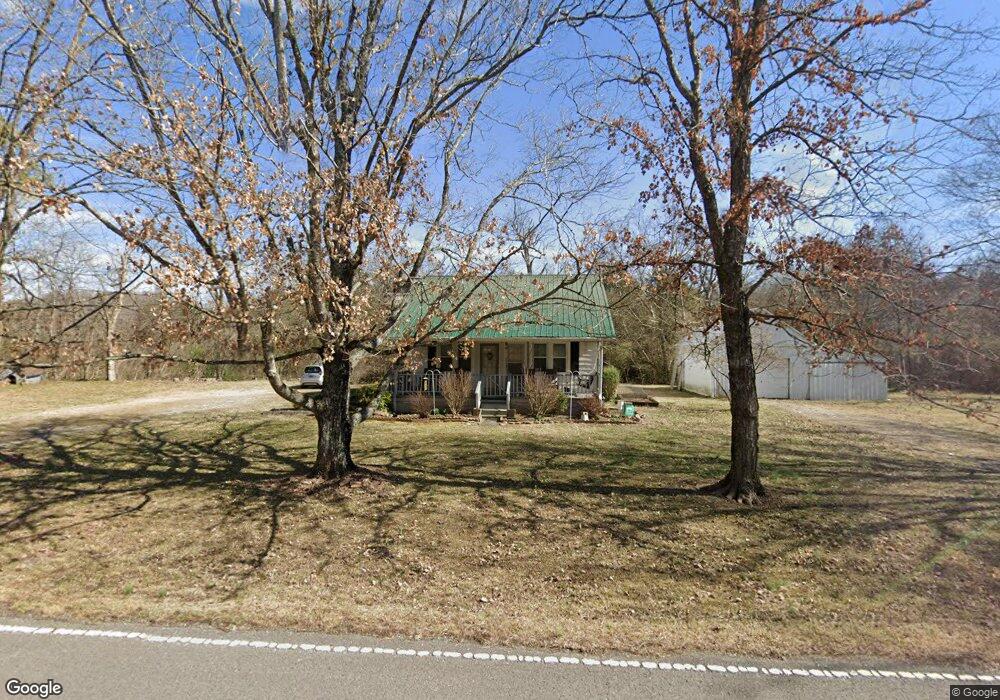
2174 Tinnin Rd Goodlettsville, TN 37072
Estimated Value: $266,000 - $382,000
3
Beds
2
Baths
1,629
Sq Ft
$193/Sq Ft
Est. Value
About This Home
This home is located at 2174 Tinnin Rd, Goodlettsville, TN 37072 and is currently estimated at $314,038, approximately $192 per square foot. 2174 Tinnin Rd is a home located in Davidson County with nearby schools including Goodlettsville Elementary School, Goodlettsville Middle School, and Hunters Lane Comprehensive High School.
Ownership History
Date
Name
Owned For
Owner Type
Purchase Details
Closed on
Jan 4, 2019
Sold by
Whitehead Dan Harrison
Bought by
Whitehead Dan Harrison and Whitehead Marietta
Current Estimated Value
Purchase Details
Closed on
Jul 16, 2010
Sold by
Whitehead Dan Harrison
Bought by
Ryan Elmer Henry
Purchase Details
Closed on
Mar 29, 2007
Sold by
Whitehead Mattie P
Bought by
Whitehead Dan Harrison
Purchase Details
Closed on
Apr 12, 1999
Sold by
Whitehead Mattie P and Whitehead Mattie Lester
Bought by
Whitehead Mattie P and Mattie P Whitehead Trust
Create a Home Valuation Report for This Property
The Home Valuation Report is an in-depth analysis detailing your home's value as well as a comparison with similar homes in the area
Home Values in the Area
Average Home Value in this Area
Purchase History
| Date | Buyer | Sale Price | Title Company |
|---|---|---|---|
| Whitehead Dan Harrison | -- | None Available | |
| Ryan Elmer Henry | -- | None Available | |
| Whitehead Dan Harrison | -- | None Available | |
| Whitehead Mattie P | -- | -- |
Source: Public Records
Tax History Compared to Growth
Tax History
| Year | Tax Paid | Tax Assessment Tax Assessment Total Assessment is a certain percentage of the fair market value that is determined by local assessors to be the total taxable value of land and additions on the property. | Land | Improvement |
|---|---|---|---|---|
| 2024 | $1,341 | $45,900 | $11,050 | $34,850 |
| 2023 | $1,341 | $45,900 | $11,050 | $34,850 |
| 2022 | $1,341 | $45,900 | $11,050 | $34,850 |
| 2021 | $1,355 | $45,900 | $11,050 | $34,850 |
| 2020 | $1,151 | $30,375 | $9,350 | $21,025 |
| 2019 | $837 | $30,375 | $9,350 | $21,025 |
| 2018 | $837 | $30,375 | $9,350 | $21,025 |
| 2017 | $837 | $30,375 | $9,350 | $21,025 |
| 2016 | $1,031 | $26,275 | $9,475 | $16,800 |
| 2015 | $1,031 | $26,275 | $9,475 | $16,800 |
| 2014 | $1,031 | $26,275 | $9,475 | $16,800 |
Source: Public Records
Map
Nearby Homes
- 111 Cascade Ln
- 2128 Creek Trail
- 131 Brookview Cir
- 105 S High Ridge Dr
- 0 High Ridge Dr N Unit RTC2793614
- 1861 Fox Chase Dr
- 2001 Lassiter Dr
- 2019 Lassiter Dr
- 2033 Graceland Dr
- 2205 Kayla Dr
- 2049 Graceland Dr
- 1900 Tinnin Rd Unit 11
- 916 Graceland Ct
- 1551 Springfield Hwy
- 1535 Springfield Hwy
- 2132 Baker Station Rd
- 1418 Slaters Creek Rd
- 1116 Slaters Creek Rd
- 1322 Springfield Hwy
- 2196 Baker Station Rd
- 2185 Tinnin Rd
- 1019 Willow Trail
- 1021 Willow Trail
- 1017 Willow Trail
- 2147 Tinnin Rd
- 2186 Tinnin Rd
- 1023 Willow Trail
- 1015 Willow Trail
- 1025 Willow Trail
- 1027 Willow Trail
- 2209 Tinnin Rd
- 1014 Willow Trail
- 1013 Willow Trail
- 1020 Willow Trail
- 2161 Tinnin Rd
- 2161A Tinnin Rd
- 1022 Willow Trail
- 1029 Willow Trail
- 1012 Willow Trail
- 1011 Willow Trail