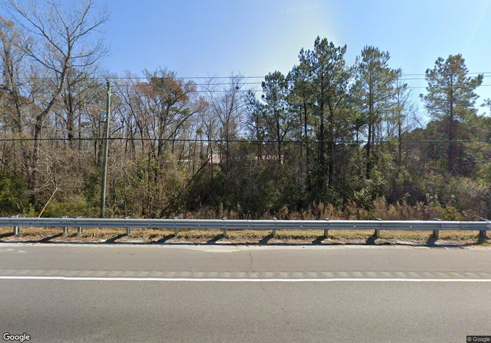
21760 Us Highway 17 Hampstead, NC 28443
Estimated Value: $383,000 - $637,014
2
Beds
1
Bath
1,674
Sq Ft
$291/Sq Ft
Est. Value
About This Home
This home is located at 21760 Us Highway 17, Hampstead, NC 28443 and is currently estimated at $486,504, approximately $290 per square foot. 21760 Us Highway 17 is a home located in Pender County with nearby schools including North Topsail Elementary School, Topsail Middle School, and Topsail High School.
Ownership History
Date
Name
Owned For
Owner Type
Purchase Details
Closed on
Feb 4, 2006
Sold by
Dawson William Edward and Dawson Cristiana Idalia
Bought by
Dawson William Edward
Current Estimated Value
Purchase Details
Closed on
Aug 10, 2005
Sold by
Charland Donald and Charland Joan
Bought by
Dawson William Edward and Dawson Christiana Idalia
Purchase Details
Closed on
May 24, 2005
Sold by
Dotts George T and Dotts Helen H
Bought by
Charland Donald and Charland Joan
Home Financials for this Owner
Home Financials are based on the most recent Mortgage that was taken out on this home.
Original Mortgage
$155,550
Interest Rate
5.8%
Mortgage Type
Purchase Money Mortgage
Create a Home Valuation Report for This Property
The Home Valuation Report is an in-depth analysis detailing your home's value as well as a comparison with similar homes in the area
Home Values in the Area
Average Home Value in this Area
Purchase History
| Date | Buyer | Sale Price | Title Company |
|---|---|---|---|
| Dawson William Edward | -- | -- | |
| Dawson William Edward | $220,000 | -- | |
| Charland Donald | $183,000 | -- |
Source: Public Records
Mortgage History
| Date | Status | Borrower | Loan Amount |
|---|---|---|---|
| Previous Owner | Charland Donald | $155,550 |
Source: Public Records
Tax History Compared to Growth
Tax History
| Year | Tax Paid | Tax Assessment Tax Assessment Total Assessment is a certain percentage of the fair market value that is determined by local assessors to be the total taxable value of land and additions on the property. | Land | Improvement |
|---|---|---|---|---|
| 2024 | $3,470 | $353,484 | $192,300 | $161,184 |
| 2023 | $3,470 | $353,484 | $192,300 | $161,184 |
| 2022 | $3,163 | $353,484 | $192,300 | $161,184 |
| 2021 | $3,163 | $353,484 | $192,300 | $161,184 |
| 2020 | $3,163 | $353,484 | $192,300 | $161,184 |
| 2019 | $3,163 | $353,484 | $192,300 | $161,184 |
| 2018 | $4,255 | $457,971 | $322,000 | $135,971 |
| 2017 | $4,255 | $457,971 | $322,000 | $135,971 |
| 2016 | $4,098 | $457,971 | $322,000 | $135,971 |
| 2015 | $4,088 | $457,971 | $322,000 | $135,971 |
| 2014 | $3,190 | $457,971 | $322,000 | $135,971 |
| 2013 | -- | $457,971 | $322,000 | $135,971 |
| 2012 | -- | $457,971 | $322,000 | $135,971 |
Source: Public Records
Map
Nearby Homes
- 351 Royal Tern Dr
- 246 Royal Tern Dr
- 63 Royal Tern Dr
- 108 Gold Coast Dr
- 102 Whimbrel Way
- 00 Old Whitfield Rd
- 201 S Grist Mill Rd
- 107 Laughing Gull Ln
- 180 Quails Cove
- 120 S Burning Tree Dr
- 202 Sloop Point Rd
- 132 Topsail Lake Dr
- 34.38 Ac Stag Dr
- 30.5 Stag Dr
- 102 Lumis Ct
- 112 Killdeer Dr
- 110 Pagoda Ct
- 43 Westminster Way
- 330 Crown Pointe Dr
- 376 Crown Pointe Dr
- 21900 U S 17
- 21900 Us Highway 17 N
- 000 Whitus Dr
- 0 Whitus Dr
- 106 Whitus Dr
- 967 Hillview Dr
- 21801 Us Highway 17
- 107 Whitus Dr
- 0000 Us-17
- 101 Hillview
- 104 Wind Ridge Rd
- 107 Morris Dr
- 21600 Us Highway 17
- 21600 U S 17
- 21600 U S 17
- 960 Hillview Dr
- 22018 Us Highway 17
- 000 Morris Dr
- 8 Morris Dr
- 0 Morris Dr
