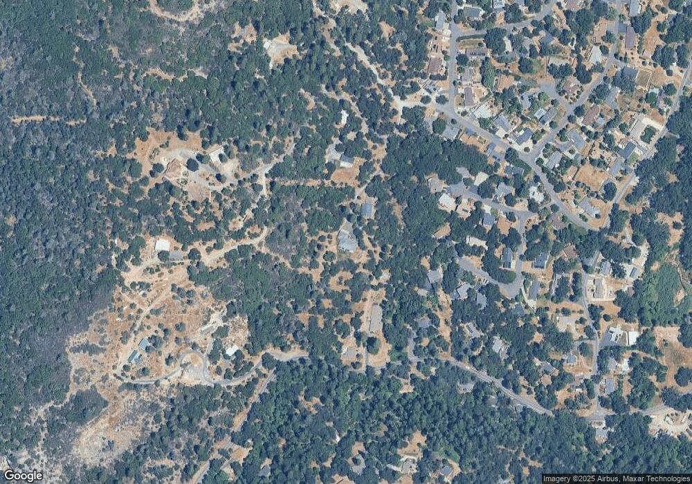
21767 Robin Hill Sonora, CA 95370
Estimated Value: $590,000 - $776,531
4
Beds
3
Baths
2,829
Sq Ft
$255/Sq Ft
Est. Value
About This Home
This home is located at 21767 Robin Hill, Sonora, CA 95370 and is currently estimated at $721,883, approximately $255 per square foot. 21767 Robin Hill is a home located in Tuolumne County with nearby schools including Curtis Creek Elementary School, Dario Cassina High School, and Theodore Bird High School.
Ownership History
Date
Name
Owned For
Owner Type
Purchase Details
Closed on
Sep 25, 2024
Sold by
Scott Green Michael and Castro Concepcion
Bought by
Green Family Trust and Green
Current Estimated Value
Purchase Details
Closed on
Aug 2, 2004
Sold by
Wilson Henson Enterprises Inc
Bought by
Castro Green Michael Scott and Castro Green Concepcion
Home Financials for this Owner
Home Financials are based on the most recent Mortgage that was taken out on this home.
Original Mortgage
$479,200
Interest Rate
5.62%
Mortgage Type
Unknown
Purchase Details
Closed on
Mar 24, 2003
Sold by
Meiss Deborah S
Bought by
Wilson Henson Enterprises Inc
Home Financials for this Owner
Home Financials are based on the most recent Mortgage that was taken out on this home.
Original Mortgage
$382,500
Interest Rate
5.78%
Mortgage Type
Construction
Create a Home Valuation Report for This Property
The Home Valuation Report is an in-depth analysis detailing your home's value as well as a comparison with similar homes in the area
Home Values in the Area
Average Home Value in this Area
Purchase History
| Date | Buyer | Sale Price | Title Company |
|---|---|---|---|
| Green Family Trust | -- | None Listed On Document | |
| Castro Green Michael Scott | $599,000 | Yosemite Title Co | |
| Wilson Henson Enterprises Inc | $95,000 | Yosemite Title Co |
Source: Public Records
Mortgage History
| Date | Status | Borrower | Loan Amount |
|---|---|---|---|
| Previous Owner | Castro Green Michael Scott | $479,200 | |
| Previous Owner | Wilson Henson Enterprises Inc | $382,500 |
Source: Public Records
Tax History Compared to Growth
Tax History
| Year | Tax Paid | Tax Assessment Tax Assessment Total Assessment is a certain percentage of the fair market value that is determined by local assessors to be the total taxable value of land and additions on the property. | Land | Improvement |
|---|---|---|---|---|
| 2025 | $7,697 | $741,856 | $178,405 | $563,451 |
| 2024 | $7,697 | $741,856 | $178,405 | $563,451 |
| 2023 | $7,682 | $741,856 | $178,405 | $563,451 |
| 2022 | $7,681 | $741,856 | $178,405 | $563,451 |
| 2021 | $6,850 | $662,371 | $159,290 | $503,081 |
| 2020 | $6,390 | $619,038 | $148,869 | $470,169 |
| 2019 | $6,265 | $606,900 | $145,950 | $460,950 |
| 2018 | $5,998 | $578,000 | $139,000 | $439,000 |
| 2017 | $5,395 | $525,000 | $126,000 | $399,000 |
| 2016 | $5,149 | $500,000 | $120,000 | $380,000 |
| 2015 | $7,667 | $739,307 | $173,967 | $565,340 |
| 2014 | $7,485 | $724,826 | $170,560 | $554,266 |
Source: Public Records
Map
Nearby Homes
- 16110 Comet Mine Ct
- 16137 Acorn Dr
- 21451 Phoenix Lake Rd
- 16230 Hidden Valley Rd
- 16390 Creekside Dr
- 21681 Fern Ln
- 21850 Belleview Rd Unit SPC 44
- 21850 Belleview Rd Unit 27
- 21115 Fleetwood Ct
- 21950 Paseo de Los Portales Rd
- 21645 La Vereda Rd
- 16581 S Creekside Dr
- 16643 Sallander Dr
- 21410 Green Meadow Ln
- 21714 El Oso Way
- 16096 Parkridge Ave
- 21755 Robin Hill
- 21546 Phoenix Lake Rd
- 16109 Sirus Mine Ln
- 16100 Sirus Mine Ln
- 21542 Phoenix Lake Rd
- 21713 Robin Hill Rd
- 16131 Sirus Mine Ln
- 16121 Comet Mine Ct
- 16120 Sirus Mine Ln
- 16170 Comet Mine Ct
- 21710 Fortuna Mine Rd
- 16141 Sirus Mine Ln
- 21706 Fortuna Mine Rd
- 21686 Robin Hill Rd
- 16175 Comet Mine Ct
- 21536 Phoenix Lake Rd Unit n/a
- 21536 Phoenix Lake Rd
- 16210 Comet Mine Ct
- 21558 Phoenix Lake Rd
