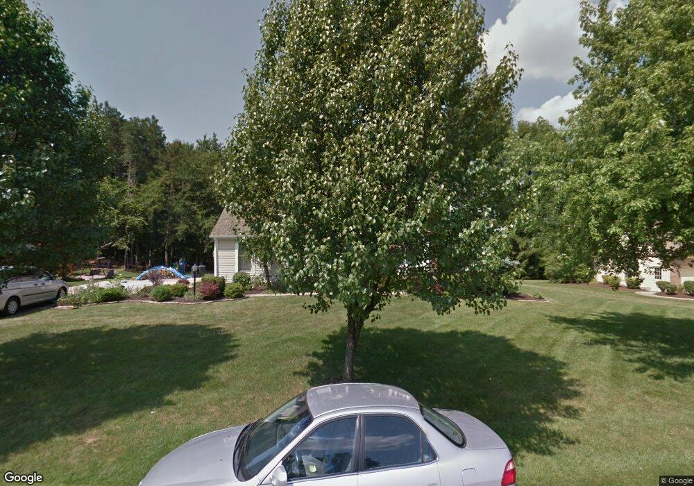
2177 Weston Dr Hudson, OH 44236
Estimated Value: $544,000 - $559,000
4
Beds
3
Baths
3,104
Sq Ft
$178/Sq Ft
Est. Value
About This Home
This home is located at 2177 Weston Dr, Hudson, OH 44236 and is currently estimated at $552,318, approximately $177 per square foot. 2177 Weston Dr is a home located in Summit County with nearby schools including Ellsworth Hill Elementary School, East Woods Intermediate School, and Hudson Middle School.
Ownership History
Date
Name
Owned For
Owner Type
Purchase Details
Closed on
Jul 9, 2004
Sold by
Chang Chi Ling and Cunningham George S
Bought by
Liang John T and Tammy Liang T
Current Estimated Value
Home Financials for this Owner
Home Financials are based on the most recent Mortgage that was taken out on this home.
Original Mortgage
$155,000
Interest Rate
6.37%
Mortgage Type
Purchase Money Mortgage
Purchase Details
Closed on
Jun 7, 1996
Sold by
Archiable Mary D
Bought by
Jium and Jium Pang
Home Financials for this Owner
Home Financials are based on the most recent Mortgage that was taken out on this home.
Original Mortgage
$188,000
Interest Rate
7.97%
Mortgage Type
New Conventional
Create a Home Valuation Report for This Property
The Home Valuation Report is an in-depth analysis detailing your home's value as well as a comparison with similar homes in the area
Home Values in the Area
Average Home Value in this Area
Purchase History
| Date | Buyer | Sale Price | Title Company |
|---|---|---|---|
| Liang John T | $290,000 | Multiple | |
| Jium | $235,000 | -- |
Source: Public Records
Mortgage History
| Date | Status | Borrower | Loan Amount |
|---|---|---|---|
| Closed | Liang John T | $155,000 | |
| Previous Owner | Jium | $188,000 |
Source: Public Records
Tax History
| Year | Tax Paid | Tax Assessment Tax Assessment Total Assessment is a certain percentage of the fair market value that is determined by local assessors to be the total taxable value of land and additions on the property. | Land | Improvement |
|---|---|---|---|---|
| 2024 | $8,692 | $170,685 | $34,290 | $136,395 |
| 2023 | $8,692 | $170,685 | $34,290 | $136,395 |
| 2022 | $6,649 | $116,253 | $23,328 | $92,925 |
| 2021 | $6,660 | $116,253 | $23,328 | $92,925 |
| 2020 | $6,543 | $116,260 | $23,330 | $92,930 |
| 2019 | $6,762 | $111,300 | $18,660 | $92,640 |
| 2018 | $6,738 | $111,300 | $18,660 | $92,640 |
| 2017 | $6,175 | $111,300 | $18,660 | $92,640 |
| 2016 | $6,220 | $99,060 | $18,660 | $80,400 |
| 2015 | $6,175 | $99,060 | $18,660 | $80,400 |
| 2014 | $6,193 | $99,060 | $18,660 | $80,400 |
| 2013 | $6,477 | $101,250 | $18,660 | $82,590 |
Source: Public Records
Map
Nearby Homes
- 1995 Weston Dr
- V/L Norton Rd
- 5361 Diana Lynn Dr
- 5091 Ridge Meadow Dr
- 1620 Sapphire Dr
- 2221 Crockett Cir
- 5123 Sodalite Dr
- 2188 Duxbury
- 2279 Becket Cir
- 4916 Friar Rd Unit B
- 4704 Red Willow Rd
- 1525 Spruce Hill Dr
- 4909 Fishcreek Rd
- 4623 Cox Dr
- 5974 Anna Lee Dr
- 2353 W Hale Dr
- 4424 Timberdale Dr Unit 4428
- 0 Hibbard Dr
- 4399-4403 Cherryhurst Dr
- 1961 Arndale Rd
- 2185 Weston Dr
- 2167 Weston Dr
- 5444 Stow Rd
- 2186 Weston Dr
- 2157 Weston Dr
- 2197 Weston Dr
- 5420 Brooklands Dr
- 2193 Bristol Ct
- 2181 Bristol Ct
- 2209 Weston Dr
- 2145 Weston Dr
- 5410 Brooklands Dr
- 2169 Bristol Ct
- 2146 Weston Dr
- 2200 Bristol Ct
- 5455 Duffield Dr
- 5400 Brooklands Dr
- 2219 Weston Dr
- 2157 Bristol Ct
- 5419 Brooklands Dr
Your Personal Tour Guide
Ask me questions while you tour the home.