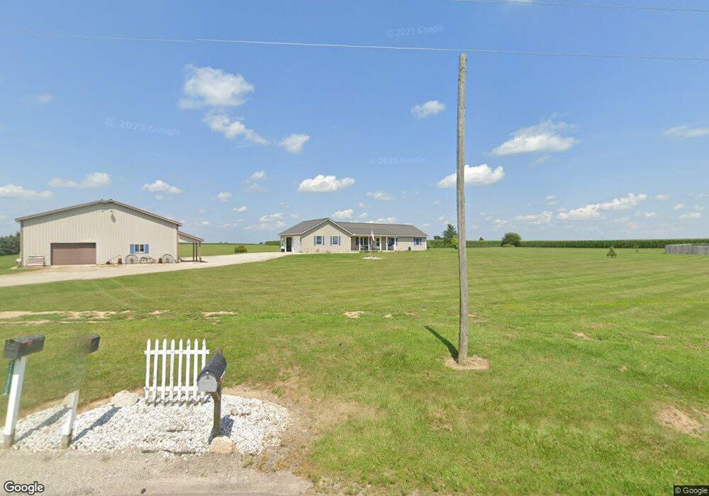
21775 State Route 47 Maplewood, OH 45340
Estimated Value: $273,000 - $455,868
3
Beds
3
Baths
1,708
Sq Ft
$211/Sq Ft
Est. Value
About This Home
This home is located at 21775 State Route 47, Maplewood, OH 45340 and is currently estimated at $359,717, approximately $210 per square foot. 21775 State Route 47 is a home located in Shelby County with nearby schools including Sidney High School.
Ownership History
Date
Name
Owned For
Owner Type
Purchase Details
Closed on
May 1, 2001
Sold by
Bensman David A
Bought by
Blankenship Gregory S
Current Estimated Value
Home Financials for this Owner
Home Financials are based on the most recent Mortgage that was taken out on this home.
Original Mortgage
$135,828
Outstanding Balance
$6,643
Interest Rate
7.12%
Mortgage Type
New Conventional
Estimated Equity
$353,074
Create a Home Valuation Report for This Property
The Home Valuation Report is an in-depth analysis detailing your home's value as well as a comparison with similar homes in the area
Home Values in the Area
Average Home Value in this Area
Purchase History
| Date | Buyer | Sale Price | Title Company |
|---|---|---|---|
| Blankenship Gregory S | $45,000 | -- |
Source: Public Records
Mortgage History
| Date | Status | Borrower | Loan Amount |
|---|---|---|---|
| Open | Blankenship Gregory S | $135,828 |
Source: Public Records
Tax History Compared to Growth
Tax History
| Year | Tax Paid | Tax Assessment Tax Assessment Total Assessment is a certain percentage of the fair market value that is determined by local assessors to be the total taxable value of land and additions on the property. | Land | Improvement |
|---|---|---|---|---|
| 2024 | $4,372 | $117,860 | $19,750 | $98,110 |
| 2023 | $4,372 | $117,860 | $19,750 | $98,110 |
| 2022 | $4,080 | $93,810 | $15,940 | $77,870 |
| 2021 | $4,118 | $93,810 | $15,940 | $77,870 |
| 2020 | $3,929 | $93,810 | $15,940 | $77,870 |
| 2019 | $3,213 | $78,330 | $12,820 | $65,510 |
| 2018 | $3,090 | $78,330 | $12,820 | $65,510 |
| 2017 | $3,108 | $78,330 | $12,820 | $65,510 |
| 2016 | $2,921 | $73,600 | $10,250 | $63,350 |
| 2015 | $2,915 | $73,600 | $10,250 | $63,350 |
| 2014 | $2,915 | $73,600 | $10,250 | $63,350 |
| 2013 | $2,990 | $69,040 | $10,250 | $58,790 |
Source: Public Records
Map
Nearby Homes
- 18333 Herring Rd
- 21242 Dingman Slagle Rd
- 18255 Pence Rd
- 13086 Tawawa Maplewood Rd
- 0 Dingman-Slagle Rd Unit 1856661
- 0 Dingman-Slagle Rd Unit 225034870
- 0 Dingman-Slagle Rd Unit 1039895
- 10040 Oakbrook Dr
- 201 Canal St
- 327 S Miami St
- 17261 Ohio 47
- 17188 Sharp Rd
- 116 N Mill St
- 103 N Boggs St
- 203 N Koke St
- 2763 Bridlewood Dr
- 950 Springboro Trail
- 380 S Main St
- 2349 Brierwood Trail
- 341 S Main St
- 21835 Ohio 47
- 21835 State Route 47
- 21720 Oh-47
- 21887 State Route 47
- 21887 Ohio 47
- 21690 State Route 47
- 21778 State Route 47
- 21561 Lefevre Number 2 Rd
- 21727 Herring Rd
- 21720 State Route 47
- 21555 Ohio 47
- 9601 Tawawa Maplewood Rd
- 21711 Herring Rd
- 21500 State Route 47
- 21500 Ohio 47
- 22100 State Route 47
- 21693 Herring Rd
- 22222 State Route 47
- 21561 Lefevre Number 2 Rd
- 22250 State Route 47