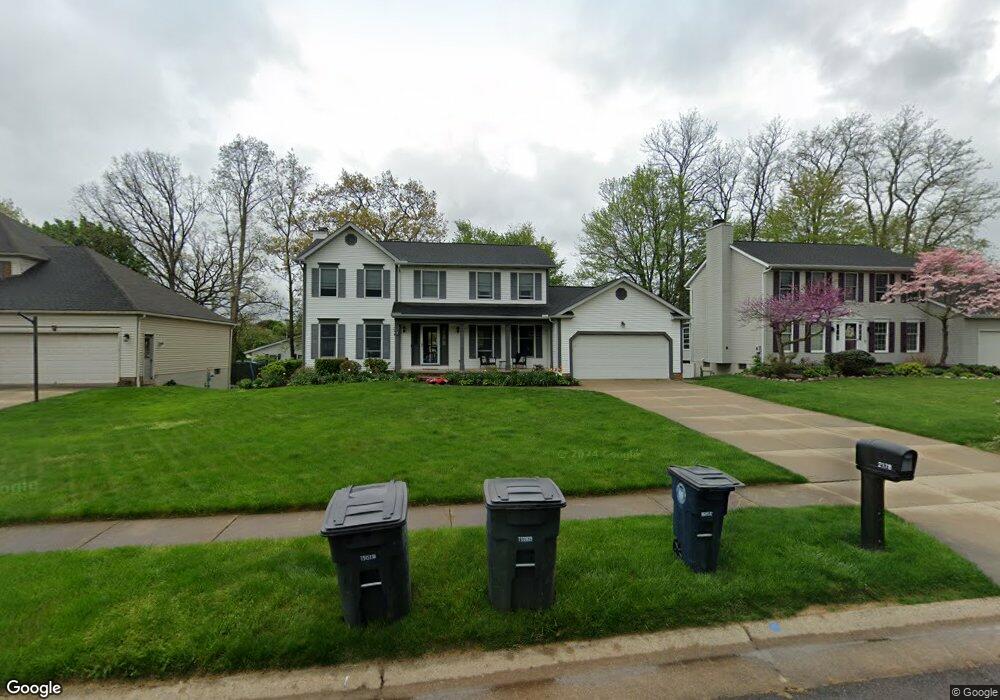
2178 Eastgate Commons Dr Akron, OH 44312
Ellet NeighborhoodEstimated Value: $322,000 - $371,000
4
Beds
3
Baths
2,434
Sq Ft
$140/Sq Ft
Est. Value
About This Home
This home is located at 2178 Eastgate Commons Dr, Akron, OH 44312 and is currently estimated at $341,374, approximately $140 per square foot. 2178 Eastgate Commons Dr is a home located in Summit County with nearby schools including Ellet High School, Summit Academy Akron Elementary School, and Akron Preparatory school.
Ownership History
Date
Name
Owned For
Owner Type
Purchase Details
Closed on
Jan 18, 2006
Sold by
Hoff Robert M and Hoff Elizabeth L
Bought by
Zupancic Michael J and Zupancic Michelle M
Current Estimated Value
Home Financials for this Owner
Home Financials are based on the most recent Mortgage that was taken out on this home.
Original Mortgage
$152,800
Interest Rate
6.21%
Mortgage Type
Purchase Money Mortgage
Create a Home Valuation Report for This Property
The Home Valuation Report is an in-depth analysis detailing your home's value as well as a comparison with similar homes in the area
Home Values in the Area
Average Home Value in this Area
Purchase History
| Date | Buyer | Sale Price | Title Company |
|---|---|---|---|
| Zupancic Michael J | $191,000 | First American Title Ins Co |
Source: Public Records
Mortgage History
| Date | Status | Borrower | Loan Amount |
|---|---|---|---|
| Closed | Zupancic Michael J | $152,800 |
Source: Public Records
Tax History
| Year | Tax Paid | Tax Assessment Tax Assessment Total Assessment is a certain percentage of the fair market value that is determined by local assessors to be the total taxable value of land and additions on the property. | Land | Improvement |
|---|---|---|---|---|
| 2024 | $5,120 | $94,217 | $19,180 | $75,037 |
| 2023 | $5,120 | $94,217 | $19,180 | $75,037 |
| 2022 | $4,582 | $67,666 | $13,699 | $53,967 |
| 2021 | $4,587 | $67,666 | $13,699 | $53,967 |
| 2020 | $4,518 | $67,670 | $13,700 | $53,970 |
| 2019 | $4,912 | $67,080 | $13,430 | $53,650 |
| 2018 | $4,846 | $67,080 | $13,430 | $53,650 |
| 2017 | $4,439 | $67,080 | $13,430 | $53,650 |
| 2016 | $4,443 | $60,240 | $13,430 | $46,810 |
| 2015 | $4,439 | $60,240 | $13,430 | $46,810 |
| 2014 | $4,404 | $60,240 | $13,430 | $46,810 |
| 2013 | $4,209 | $58,710 | $13,430 | $45,280 |
Source: Public Records
Map
Nearby Homes
- 2138 Forest Oak Dr
- 2226 Quayle Dr
- 640 Plainfield Rd
- 581 Stanley Rd
- 586 Hillman Rd
- 472 Stephens Rd
- 2511 Ogden Ave
- 545 Fulmer Ave
- 805 Utica Ave
- 443 Fulmer Ave
- 1876 Harding Ave
- 1863 Harding Ave
- 260 Prairie Dr
- 2323 Mingo Trail
- 2616 Terrace Ave
- 1832 Springfield Center Rd
- 274 Fulmer Ave
- 931 Crestline Dr
- 2331 E Market St
- 961 Crestline Dr
- 2170 Eastgate Commons Dr
- 2184 Eastgate Commons Dr
- 620 Bridge Rd
- 620 Bridge Rd Unit 624
- 603 Woodstock Rd
- 2162 Eastgate Commons Dr
- 2196 Eastgate Commons Dr
- 624 Bridge Rd
- 607 Woodstock Rd
- 533 Amberwood Dr
- 536 Amberwood Dr
- 630 Bridge Rd
- 611 Woodstock Rd
- 2154 Eastgate Commons Dr
- 2200 Eastgate Commons Dr
- 619 Bridge Rd
- 634 Bridge Rd
- 615 Woodstock Rd
- 623 Bridge Rd
- 528 Amberwood Dr
Your Personal Tour Guide
Ask me questions while you tour the home.