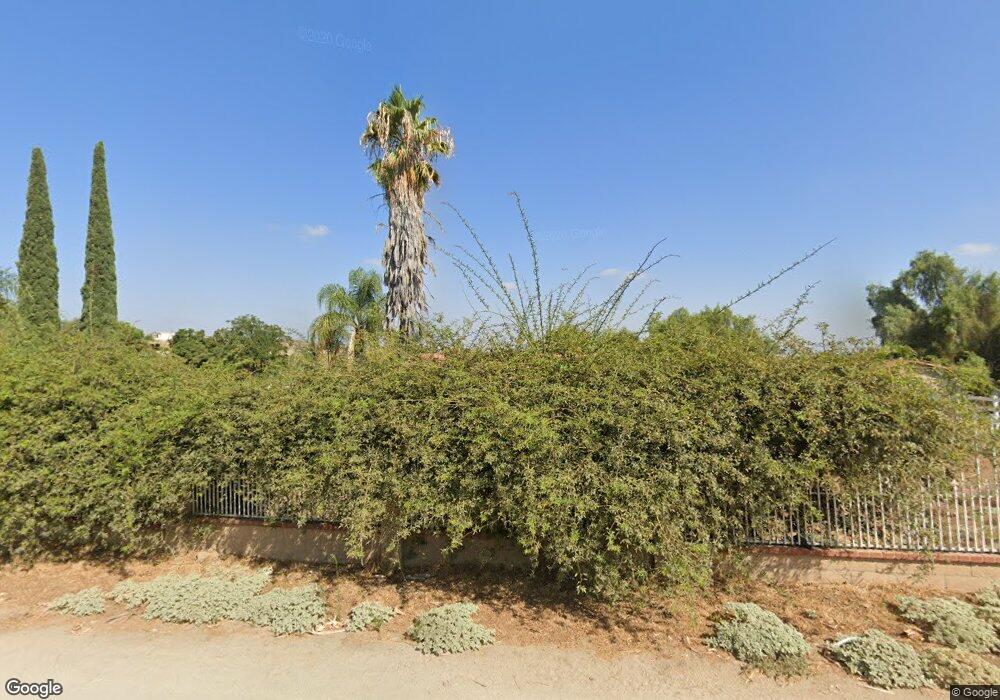
21780 Michael Rd Perris, CA 92570
Estimated Value: $562,790 - $866,000
3
Beds
2
Baths
2,100
Sq Ft
$317/Sq Ft
Est. Value
About This Home
This home is located at 21780 Michael Rd, Perris, CA 92570 and is currently estimated at $666,448, approximately $317 per square foot. 21780 Michael Rd is a home located in Riverside County with nearby schools including Columbia Elementary School, Tomas Rivera Middle School, and Citrus Hill High School.
Ownership History
Date
Name
Owned For
Owner Type
Purchase Details
Closed on
Aug 14, 2000
Sold by
Alvarez Gustavo
Bought by
Ball Ulyious S and Ball Jearlin G
Current Estimated Value
Home Financials for this Owner
Home Financials are based on the most recent Mortgage that was taken out on this home.
Original Mortgage
$146,200
Interest Rate
8.01%
Mortgage Type
Purchase Money Mortgage
Create a Home Valuation Report for This Property
The Home Valuation Report is an in-depth analysis detailing your home's value as well as a comparison with similar homes in the area
Home Values in the Area
Average Home Value in this Area
Purchase History
| Date | Buyer | Sale Price | Title Company |
|---|---|---|---|
| Ball Ulyious S | -- | Commonwealth Land Title Co | |
| Alvarez Gustavo | -- | Commonwealth Title |
Source: Public Records
Mortgage History
| Date | Status | Borrower | Loan Amount |
|---|---|---|---|
| Previous Owner | Ball Ulyious S | $146,200 |
Source: Public Records
Tax History
| Year | Tax Paid | Tax Assessment Tax Assessment Total Assessment is a certain percentage of the fair market value that is determined by local assessors to be the total taxable value of land and additions on the property. | Land | Improvement |
|---|---|---|---|---|
| 2025 | $2,087 | $191,336 | $63,267 | $128,069 |
| 2023 | $2,087 | $183,908 | $60,811 | $123,097 |
| 2022 | $2,024 | $180,303 | $59,619 | $120,684 |
| 2021 | $1,984 | $176,768 | $58,450 | $118,318 |
| 2020 | $1,964 | $174,956 | $57,851 | $117,105 |
| 2019 | $1,846 | $171,526 | $56,717 | $114,809 |
| 2018 | $1,819 | $168,163 | $55,606 | $112,557 |
| 2017 | $1,776 | $164,866 | $54,516 | $110,350 |
| 2016 | $1,754 | $161,635 | $53,448 | $108,187 |
| 2015 | $1,728 | $159,210 | $52,647 | $106,563 |
| 2014 | $1,706 | $156,094 | $51,617 | $104,477 |
Source: Public Records
Map
Nearby Homes
- 0 Marie Rd
- 0 Campos Rd Unit IV24176919
- 20920 Sawgo Dr
- 21720 Yucca Rd
- 22285 Old Elsinore Rd
- 22169 Rocky Hills Rd
- 21781 Rogers Rd
- 22340 Comet Ct
- 20243 Lee Rd
- 20000 Carousel Dr
- 0 Old Elsinore Rd Unit DW25247795
- 20320 Roads End Dr
- 0 Aloha Rd Unit 2600318
- 23251 Placentia Ave
- 22647 Cajalco Rd
- 22735 Lukens Ln
- 0 Forrest Rd Unit SB24134281
- 21321 Cajalco Rd
- 0 Vista Del Lago
- 21274 Cajalco Rd
- 21707 Michael Rd
- 21850 Michael Rd
- 0 Michael Rd
- 21890 Michael Rd
- 21801 Michael Rd
- 21625 Michael Rd
- 0 Johns St Unit HM12107311
- 0 Johns St Unit IV14018490
- 0 Johns St Unit IV16144985
- 21231 Old Elsinore Rd
- 21351 Johns St
- 21293 Johns St
- 21981 Michael Rd
- 21205 Old Elsinore Rd
- 21201 Old Elsinore Rd
- 21321 Old Elsinore Rd
- 21200 Johns St
- 21512 Johns St
- 21371 Old Elsinore Rd
- 21181 Old Elsinore Rd
