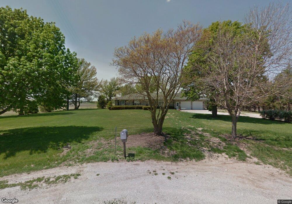
2179 390th Ave Farragut, IA 51639
Estimated Value: $255,000 - $385,000
3
Beds
1
Bath
1,748
Sq Ft
$176/Sq Ft
Est. Value
About This Home
This home is located at 2179 390th Ave, Farragut, IA 51639 and is currently estimated at $308,168, approximately $176 per square foot. 2179 390th Ave is a home located in Fremont County with nearby schools including Shenandoah Elementary School, Shenandoah Middle School, and Shenandoah High School.
Ownership History
Date
Name
Owned For
Owner Type
Purchase Details
Closed on
Feb 3, 2020
Sold by
Dreyer David L and Dreyer Sherri R
Bought by
Jacobs Brian M and Jacobs Jamie D
Current Estimated Value
Home Financials for this Owner
Home Financials are based on the most recent Mortgage that was taken out on this home.
Original Mortgage
$173,375
Outstanding Balance
$136,516
Interest Rate
3.72%
Mortgage Type
New Conventional
Estimated Equity
$171,652
Create a Home Valuation Report for This Property
The Home Valuation Report is an in-depth analysis detailing your home's value as well as a comparison with similar homes in the area
Home Values in the Area
Average Home Value in this Area
Purchase History
| Date | Buyer | Sale Price | Title Company |
|---|---|---|---|
| Jacobs Brian M | $182,500 | None Available |
Source: Public Records
Mortgage History
| Date | Status | Borrower | Loan Amount |
|---|---|---|---|
| Open | Jacobs Brian M | $173,375 |
Source: Public Records
Tax History Compared to Growth
Tax History
| Year | Tax Paid | Tax Assessment Tax Assessment Total Assessment is a certain percentage of the fair market value that is determined by local assessors to be the total taxable value of land and additions on the property. | Land | Improvement |
|---|---|---|---|---|
| 2025 | $3,128 | $277,370 | $34,030 | $243,340 |
| 2024 | $3,128 | $242,120 | $34,030 | $208,090 |
| 2023 | $3,010 | $242,120 | $34,030 | $208,090 |
| 2022 | $2,776 | $203,310 | $25,590 | $177,720 |
| 2021 | $2,776 | $189,640 | $23,870 | $165,770 |
| 2020 | $2,321 | $170,775 | $22,685 | $148,090 |
| 2019 | $2,565 | $170,775 | $0 | $0 |
| 2018 | $2,489 | $170,775 | $0 | $0 |
| 2017 | $2,380 | $161,870 | $0 | $0 |
| 2016 | $2,323 | $161,870 | $0 | $0 |
| 2015 | $2,318 | $142,800 | $0 | $0 |
| 2014 | $1,878 | $119,980 | $0 | $0 |
Source: Public Records
Map
Nearby Homes
- 1108 Saint Philip Ave
- 1026 State Highway 2
- 0 U S 59
- 00 U S 59
- 2035 355th Ave
- 908 W Nishna Rd
- 24 Applewood Dr
- 14 Country Club Ln
- 1400 Maple St
- 1410 S Elm St
- 9 Country Club Ln
- 1104 S Elm St
- 12 Mayridge Dr
- 706 Maple St
- 0 Walnut St Unit 11276604
- 806 5th Ave
- 702 7th Ave
- 505 S Elm St
- 712 West St
- 708 West St