Estimated Value: $308,000 - $535,000
3
Beds
--
Bath
1,564
Sq Ft
$254/Sq Ft
Est. Value
About This Home
This home is located at 21798 State Highway Ab Hwy, Ava, MO 65608 and is currently estimated at $397,679, approximately $254 per square foot. 21798 State Highway Ab Hwy is a home with nearby schools including Skyline Elementary School.
Ownership History
Date
Name
Owned For
Owner Type
Purchase Details
Closed on
Sep 19, 2017
Sold by
Long Charles N and Long Geraldine L
Bought by
Perricone Peter and Perricone Nani
Current Estimated Value
Home Financials for this Owner
Home Financials are based on the most recent Mortgage that was taken out on this home.
Original Mortgage
$265,744
Outstanding Balance
$222,094
Interest Rate
3.93%
Mortgage Type
VA
Estimated Equity
$175,585
Purchase Details
Closed on
Feb 25, 2005
Sold by
Lapka Marilyn R and Lapka Ronald R
Bought by
Long Charles N and Long Geraldine L
Home Financials for this Owner
Home Financials are based on the most recent Mortgage that was taken out on this home.
Original Mortgage
$217,600
Interest Rate
5.71%
Mortgage Type
New Conventional
Create a Home Valuation Report for This Property
The Home Valuation Report is an in-depth analysis detailing your home's value as well as a comparison with similar homes in the area
Home Values in the Area
Average Home Value in this Area
Purchase History
| Date | Buyer | Sale Price | Title Company |
|---|---|---|---|
| Perricone Peter | -- | None Available | |
| Long Charles N | -- | None Available |
Source: Public Records
Mortgage History
| Date | Status | Borrower | Loan Amount |
|---|---|---|---|
| Open | Perricone Peter | $265,744 | |
| Previous Owner | Long Charles N | $217,600 |
Source: Public Records
Tax History Compared to Growth
Tax History
| Year | Tax Paid | Tax Assessment Tax Assessment Total Assessment is a certain percentage of the fair market value that is determined by local assessors to be the total taxable value of land and additions on the property. | Land | Improvement |
|---|---|---|---|---|
| 2025 | $1,333 | $36,830 | $2,500 | $34,330 |
| 2024 | $1,333 | $33,580 | $2,120 | $31,460 |
| 2023 | $1,328 | $33,580 | $2,120 | $31,460 |
| 2022 | $1,211 | $30,730 | $2,120 | $28,610 |
| 2021 | $1,162 | $30,730 | $2,120 | $28,610 |
| 2020 | $1,162 | $27,860 | $2,120 | $25,740 |
| 2019 | $980 | $27,860 | $2,120 | $25,740 |
| 2018 | $972 | $27,870 | $2,130 | $25,740 |
| 2017 | $971 | $27,870 | $2,130 | $25,740 |
| 2016 | $967 | $25,980 | $1,270 | $24,710 |
| 2012 | -- | $25,980 | $0 | $0 |
Source: Public Records
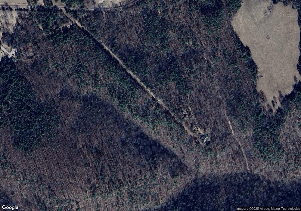
Map
Nearby Homes
- Tbd County Road Ab-230
- 7064 County Road 14-223
- 21525 State Highway P
- 21323 State Highway P
- 000 C-228 Tract #3
- 000 County Road C-228
- 3850 Private Drive 3220
- 19429 Missouri 14
- 25598 C-228 Tract #1
- 25598 C-228 Tract 1
- 11571 Co Rd E 76 211
- 11571 County Road 211
- 11571 Co Rd Unit 76-211
- 22017 E State Highway 76
- 11785 Co Rd Unit 76-211
- 10232 County Road 211-East 76
- 000
- 000 County Road P-305
- 00 E Highway 14 Private Dr Unit B
- 26312 County Road C-229
- 507 Ab Hwy
- 7181 State Highway Ab-Pvt Dr-B Hwy
- 0 State Highway Ab
- 21671 State Highway Ab
- 21789 State Highway Ab Hwy
- 21558 State Highway Ab Hwy
- 21917 State Highway Ab Hwy
- Ab Hwy Ab Hwy
- 22087 State Highway Ab
- 22087 E State Highway P Hwy
- 7180 State Highway Ab-Pvt Dr-B
- 20881 County Road Ab-217
- 20503 County Road Ab-217 Rd
- 21020 State Highway P Hwy
- 21143 State Highway Ab
- 22493 State Highway Ab
- 22588 State Highway Ab
- 581 County Road 14-219
- 20749 State Highway Ab
- 7216 County Road E 14-219 E