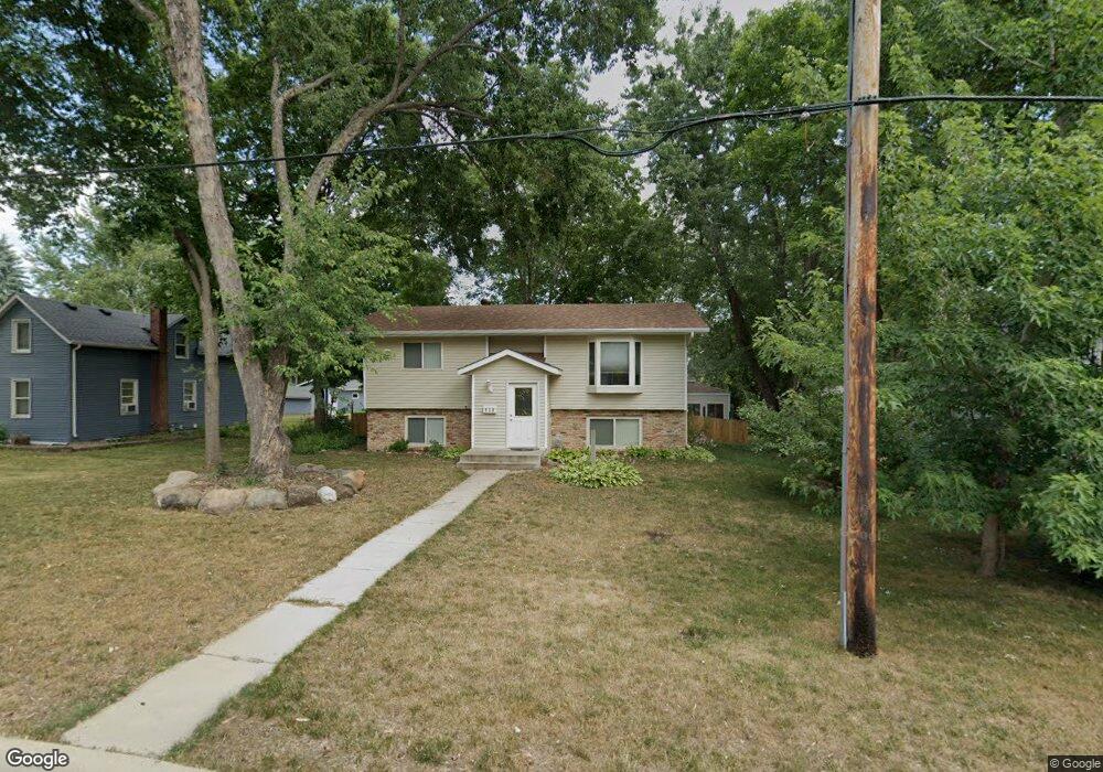
218 8th Ave S Sauk Rapids, MN 56379
Estimated Value: $245,000 - $268,000
3
Beds
2
Baths
1,114
Sq Ft
$233/Sq Ft
Est. Value
About This Home
This home is located at 218 8th Ave S, Sauk Rapids, MN 56379 and is currently estimated at $259,406, approximately $232 per square foot. 218 8th Ave S is a home located in Benton County with nearby schools including Mississippi Heights Elementary School, Sauk Rapids-Rice Middle School, and Sauk Rapids-Rice Senior High School.
Ownership History
Date
Name
Owned For
Owner Type
Purchase Details
Closed on
Apr 14, 2017
Sold by
Orton Darold Dean and Brenny Debra Ann
Bought by
Fisk Golden R
Current Estimated Value
Home Financials for this Owner
Home Financials are based on the most recent Mortgage that was taken out on this home.
Original Mortgage
$157
Outstanding Balance
$131
Interest Rate
4.3%
Mortgage Type
Unknown
Estimated Equity
$259,275
Purchase Details
Closed on
Nov 2, 2012
Sold by
Orton Darold Dean
Bought by
Brenny Debra Ann and Orton Darold Dean
Purchase Details
Closed on
Aug 4, 2012
Sold by
Brenny Debra Ann
Bought by
Orton Darold Dean
Purchase Details
Closed on
Jul 17, 2009
Sold by
Meinz Michele Ann and Meinz Timothy D
Bought by
Brenny Debra A
Home Financials for this Owner
Home Financials are based on the most recent Mortgage that was taken out on this home.
Original Mortgage
$143,355
Interest Rate
5.32%
Mortgage Type
FHA
Create a Home Valuation Report for This Property
The Home Valuation Report is an in-depth analysis detailing your home's value as well as a comparison with similar homes in the area
Home Values in the Area
Average Home Value in this Area
Purchase History
| Date | Buyer | Sale Price | Title Company |
|---|---|---|---|
| Fisk Golden R | -- | None Available | |
| Brenny Debra Ann | -- | None Available | |
| Orton Darold Dean | -- | None Available | |
| Brenny Debra A | $146,000 | -- |
Source: Public Records
Mortgage History
| Date | Status | Borrower | Loan Amount |
|---|---|---|---|
| Open | Fisk Golden R | $157 | |
| Previous Owner | Brenny Debra A | $143,355 |
Source: Public Records
Tax History Compared to Growth
Tax History
| Year | Tax Paid | Tax Assessment Tax Assessment Total Assessment is a certain percentage of the fair market value that is determined by local assessors to be the total taxable value of land and additions on the property. | Land | Improvement |
|---|---|---|---|---|
| 2025 | $2,928 | $258,400 | $30,700 | $227,700 |
| 2024 | $2,860 | $248,100 | $30,700 | $217,400 |
| 2023 | $2,754 | $247,600 | $30,700 | $216,900 |
| 2022 | $2,478 | $220,300 | $27,900 | $192,400 |
| 2021 | $2,258 | $184,900 | $27,900 | $157,000 |
| 2018 | $2,406 | $134,900 | $22,896 | $112,004 |
| 2017 | $2,406 | $126,200 | $22,563 | $103,637 |
| 2016 | $2,398 | $134,100 | $26,800 | $107,300 |
| 2015 | $1,862 | $101,800 | $21,381 | $80,419 |
| 2014 | -- | $96,000 | $21,054 | $74,946 |
| 2013 | -- | $97,400 | $21,136 | $76,264 |
Source: Public Records
Map
Nearby Homes
- 112 Summit Ave S
- 100 9th Ave S
- 608 Summit Ave S
- 117 6th Ave N
- 1 Skyview Dr
- 1021 5th St S
- 1804 8th Ave S
- 1803 8th Ave S
- 216 8th Ave N
- 880 Golden Spike Rd NE
- 970 Golden Spike Rd NE
- 1294 Stone Ridge Rd
- 615 3rd Ave N
- 1000 10th Ave NE
- XXXX Golden Spike Rd NE
- 1105 Summit Ave N
- 2021 Hillcrest Dr
- 1101 10th Ave N
- 1107 10th Ave N
- xxx Lot 2