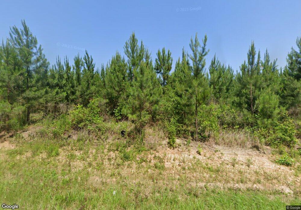
218 April Ln Allendale, SC 29810
Estimated Value: $140,000 - $386,047
--
Bed
--
Bath
--
Sq Ft
106.43
Acres
About This Home
This home is located at 218 April Ln, Allendale, SC 29810 and is currently estimated at $223,262. 218 April Ln is a home with nearby schools including Allendale Fairfax High School.
Ownership History
Date
Name
Owned For
Owner Type
Purchase Details
Closed on
Dec 6, 2006
Sold by
Estate Of Owen W Barker
Bought by
Barker Russell B
Current Estimated Value
Create a Home Valuation Report for This Property
The Home Valuation Report is an in-depth analysis detailing your home's value as well as a comparison with similar homes in the area
Home Values in the Area
Average Home Value in this Area
Purchase History
| Date | Buyer | Sale Price | Title Company |
|---|---|---|---|
| Barker Russell B | -- | -- |
Source: Public Records
Tax History Compared to Growth
Tax History
| Year | Tax Paid | Tax Assessment Tax Assessment Total Assessment is a certain percentage of the fair market value that is determined by local assessors to be the total taxable value of land and additions on the property. | Land | Improvement |
|---|---|---|---|---|
| 2024 | $1,419 | $5,170 | $1,000 | $4,170 |
| 2023 | $1,277 | $128,956 | $0 | $0 |
| 2022 | $1,317 | $128,956 | $0 | $0 |
| 2021 | $1,344 | $5,310 | $990 | $4,320 |
| 2020 | $1,390 | $5,310 | $990 | $4,320 |
| 2019 | $1,496 | $5,310 | $990 | $4,320 |
| 2018 | $1,390 | $5,210 | $850 | $4,360 |
| 2017 | $1,392 | $5,210 | $850 | $4,360 |
| 2016 | $1,411 | $5,210 | $850 | $4,360 |
| 2015 | -- | $5,210 | $850 | $4,360 |
| 2014 | -- | $5,210 | $850 | $4,360 |
| 2013 | -- | $5,170 | $810 | $4,360 |
Source: Public Records
Map
Nearby Homes
- 187 Rambo Rd
- 388 Warren St
- 1792 Appleton Rd
- 1237 Railroad Ave E
- 423 Parkwood Terrace
- 582 Parkwood Terrace
- 4058 Bluff Rd
- 820 Parkwood Terrace
- 242 Short St
- 4169 Bluff Rd
- 793 Robin St
- 4015 Allendale-Fairfax Hwy
- 2672 Big Fork Rd
- 3581 Cemetery Rd
- 239 Brant Hill Rd
- 0 Revolutionary Trail
- 3569 Cemetery Rd
- 3595 Cemetery Rd
- 0 Tbd Confederate Highway Parcel A
- Buford's Bridge Hwy
