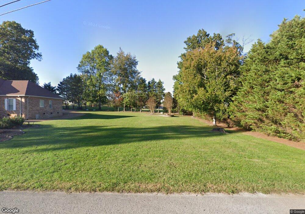
218 Brookside Dr Cookeville, TN 38506
Estimated Value: $84,564 - $198,000
--
Bed
--
Bath
--
Sq Ft
0.34
Acres
About This Home
This home is located at 218 Brookside Dr, Cookeville, TN 38506 and is currently estimated at $128,141. 218 Brookside Dr is a home located in Putnam County with nearby schools including Algood Middle School, Algood Elementary School, and Cookeville High School.
Ownership History
Date
Name
Owned For
Owner Type
Purchase Details
Closed on
Jun 18, 2018
Sold by
Phillips Bobby E
Bought by
Tinch Dewayne Franklin and Tinch Gerald Ray
Current Estimated Value
Purchase Details
Closed on
Sep 28, 2017
Sold by
Clark Lance
Bought by
Phillips Bobby E
Purchase Details
Closed on
Jun 6, 2017
Sold by
Payne Ruth S
Bought by
Lance Clark and Kay Lance
Purchase Details
Closed on
Apr 30, 2001
Bought by
Burgess Family Partnership
Purchase Details
Closed on
Aug 26, 1987
Bought by
Greenwood Sallie May William D Clar
Purchase Details
Closed on
Nov 19, 1924
Bought by
Greenwood Sallie May William D Clar
Create a Home Valuation Report for This Property
The Home Valuation Report is an in-depth analysis detailing your home's value as well as a comparison with similar homes in the area
Home Values in the Area
Average Home Value in this Area
Purchase History
| Date | Buyer | Sale Price | Title Company |
|---|---|---|---|
| Tinch Dewayne Franklin | $45,000 | -- | |
| Phillips Bobby E | $38,000 | -- | |
| Lance Clark | $47,000 | -- | |
| Clark Lance | $46,970 | -- | |
| Burgess Family Partnership | $450,000 | -- | |
| Greenwood Sallie May William D Clar | -- | -- | |
| Greenwood Sallie May William D Clar | -- | -- |
Source: Public Records
Tax History Compared to Growth
Tax History
| Year | Tax Paid | Tax Assessment Tax Assessment Total Assessment is a certain percentage of the fair market value that is determined by local assessors to be the total taxable value of land and additions on the property. | Land | Improvement |
|---|---|---|---|---|
| 2024 | $233 | $8,750 | $8,750 | $0 |
| 2023 | $233 | $8,750 | $8,750 | $0 |
| 2022 | $216 | $8,750 | $8,750 | $0 |
| 2021 | $248 | $8,750 | $8,750 | $0 |
| 2020 | $219 | $8,750 | $8,750 | $0 |
| 2019 | $252 | $7,500 | $7,500 | $0 |
| 2018 | $242 | $7,500 | $7,500 | $0 |
| 2017 | $242 | $7,500 | $7,500 | $0 |
| 2016 | $243 | $7,500 | $7,500 | $0 |
| 2015 | $249 | $7,500 | $7,500 | $0 |
| 2014 | $187 | $5,625 | $0 | $0 |
Source: Public Records
Map
Nearby Homes
- 372 Brookside Dr
- 292 Williams Cir
- 2818 Oak Haven Place
- 251 Haven Ln
- 0 Burton Cove Rd
- 146 Dry Valley Rd
- 3382 Norfolk Dr
- 114 Thompson Ln
- 152 Lane Ave
- 3516 Heritage Green Way
- 136 Phillips Bend Ct
- 164 W Wall St
- 3524 Heritage Green Way
- 3447 Shenandoah Ln
- 143 Old Qualls Rd
- 936 N Plantation Dr
- 333 New Heritage Dr
- 88 Quinland Lake Rd
- 755 Fireside Dr
- 200 Brookside Dr
- 365 Brookside Dr
- 360 Brookside Dr
- 366 Brookside Dr
- 353 Brookside Dr
- 371 Brookside Dr
- 354 Brookside Dr
- 231 Brookside Dr
- 375 Brookside Dr
- 225 Brookside Dr
- 347 Brookside Dr
- 365 Abby Ct
- 360 Avey Cir
- 219 Brookside Dr
- 364 Avey Cir
- 243 Brookside Dr
- 360 Abby Ct
- 379 Brookside Dr
- 370 Abby Ct
- 343 Brookside Dr