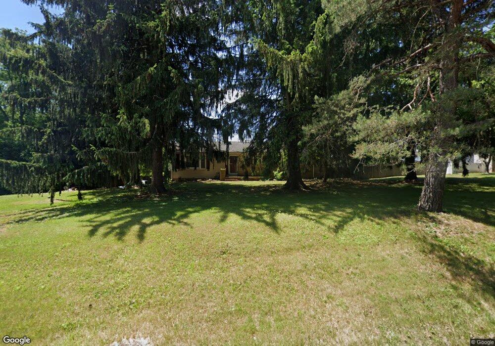
218 Bull Run Rd Ewing, NJ 08638
Ewingville NeighborhoodEstimated Value: $322,597 - $517,000
Studio
--
Bath
1,512
Sq Ft
$258/Sq Ft
Est. Value
About This Home
This home is located at 218 Bull Run Rd, Ewing, NJ 08638 and is currently estimated at $390,149, approximately $258 per square foot. 218 Bull Run Rd is a home located in Mercer County with nearby schools including Ewing High School, Trenton Stem-To-Civics Charter School, and Guidepost Montessori at Lawrenceville.
Ownership History
Date
Name
Owned For
Owner Type
Purchase Details
Closed on
Oct 30, 1991
Sold by
Lane Richard A and Lane Gloria E
Bought by
Kocon Mark J and Kocon Cynthia E
Current Estimated Value
Purchase Details
Closed on
Jul 16, 1990
Sold by
Lane Richard A and Lane Gloria E
Bought by
Kocon Mark J and Kocon Cynthia
Purchase Details
Closed on
Jun 13, 1990
Sold by
Bull Run Partnership
Bought by
Benner Ellwood A
Create a Home Valuation Report for This Property
The Home Valuation Report is an in-depth analysis detailing your home's value as well as a comparison with similar homes in the area
Home Values in the Area
Average Home Value in this Area
Purchase History
| Date | Buyer | Sale Price | Title Company |
|---|---|---|---|
| Kocon Mark J | -- | -- | |
| Kocon Mark J | $357,500 | -- | |
| Benner Ellwood A | -- | -- |
Source: Public Records
Tax History
| Year | Tax Paid | Tax Assessment Tax Assessment Total Assessment is a certain percentage of the fair market value that is determined by local assessors to be the total taxable value of land and additions on the property. | Land | Improvement |
|---|---|---|---|---|
| 2025 | $7,874 | $200,200 | $69,800 | $130,400 |
| 2024 | $7,401 | $200,200 | $69,800 | $130,400 |
Source: Public Records
Map
Nearby Homes
- 2 Sparrow Ct
- 19 van Saun Dr
- 632 Timberlake Dr
- 2148 Pennington Rd
- 311 Timberlake Dr
- 20 Corey Dr
- 34 Lopatcong Dr
- 222 Masterson Ct
- 231 Masterson Ct
- 235 Masterson Ct
- 10 Howe Ct
- 89 Upper Ferry Rd
- 146 Masterson Ct
- 611 Masterson Ct
- 7 Diverty Rd
- 13 Hickory Hill Dr
- 200 Amberleigh Dr Unit 32H
- 305 Tuxford Ct
- 6 Van Gogh Ct
- 305 Deer Run Ct Unit C
- 220 Bull Run Rd
- 214 Bull Run Rd
- 71 Brophy Ct
- 2270 Pennington Rd
- 69 Brophy Ct
- 212 Bull Run Rd
- 90 Brophy Ct
- 281 Pennington Rd
- 351 Pennington Rd
- 210 Bull Run Rd
- 67 Brophy Ct
- 88 Brophy Ct
- 2260 Pennington Rd
- 213 Bull Run Rd
- 208 Bull Run Rd
- 65 Brophy Ct
- 86 Brophy Ct
- 86 Brophy Ct
- 2248 Pennington Rd
- 206 Bull Run Rd
Your Personal Tour Guide
Ask me questions while you tour the home.