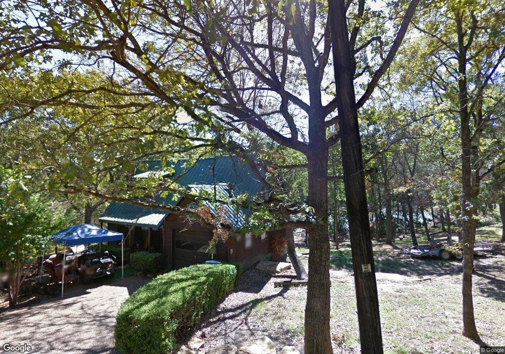
218 Eton Dr Pottsboro, TX 75076
Estimated Value: $827,714 - $1,073,000
2
Beds
1
Bath
1,272
Sq Ft
$746/Sq Ft
Est. Value
About This Home
This home is located at 218 Eton Dr, Pottsboro, TX 75076 and is currently estimated at $948,679, approximately $745 per square foot. 218 Eton Dr is a home located in Grayson County with nearby schools including Pottsboro Elementary School, Pottsboro Middle School, and Pottsboro High School.
Ownership History
Date
Name
Owned For
Owner Type
Purchase Details
Closed on
Mar 23, 2009
Sold by
Shreibvogel Yarri and Shreibvogel Wendy
Bought by
Teichman Leo A and Teichman Carrolyn K
Current Estimated Value
Home Financials for this Owner
Home Financials are based on the most recent Mortgage that was taken out on this home.
Original Mortgage
$94,000
Interest Rate
5.36%
Mortgage Type
Purchase Money Mortgage
Create a Home Valuation Report for This Property
The Home Valuation Report is an in-depth analysis detailing your home's value as well as a comparison with similar homes in the area
Home Values in the Area
Average Home Value in this Area
Purchase History
| Date | Buyer | Sale Price | Title Company |
|---|---|---|---|
| Teichman Leo A | -- | Grayson County Title |
Source: Public Records
Mortgage History
| Date | Status | Borrower | Loan Amount |
|---|---|---|---|
| Closed | Teichman Leo A | $94,000 |
Source: Public Records
Tax History
| Year | Tax Paid | Tax Assessment Tax Assessment Total Assessment is a certain percentage of the fair market value that is determined by local assessors to be the total taxable value of land and additions on the property. | Land | Improvement |
|---|---|---|---|---|
| 2025 | $3,826 | $1,127,612 | $104,548 | $1,023,064 |
| 2024 | $3,826 | $276,178 | $73,880 | $202,298 |
| 2023 | $3,648 | $262,880 | $57,251 | $205,629 |
| 2022 | $4,547 | $288,874 | $67,259 | $221,615 |
| 2021 | $3,103 | $190,781 | $35,552 | $155,229 |
| 2020 | $2,979 | $176,462 | $45,330 | $131,132 |
| 2019 | $3,222 | $182,132 | $45,330 | $136,802 |
| 2018 | $2,647 | $147,766 | $40,772 | $106,994 |
| 2017 | $2,503 | $137,883 | $40,772 | $97,111 |
| 2016 | $2,503 | $137,887 | $40,772 | $97,115 |
Source: Public Records
Map
Nearby Homes
- 491 Black Forest Dr
- 226 Cambridge Dr
- 142 Wales Dr
- 344 Castle Dr
- 81 Windsor Dr
- 207 Wales Dr
- 34 Cambridge Dr
- 258 Lou-Sand Hill Rd
- 116 Oak Hills Dr
- 766 Lakepoint Loop
- 127 Eagleview Cir
- 129 Eagleview Cir
- 102 Hacienda Dr
- 588 Lakepoint Loop
- 75 Lakepoint Loop
- 455 Lakepoint Loop
- 188 Hacienda Dr
- 210 Walnut Ln
- 218 Island View Dr
- 404 Hacienda Dr
Your Personal Tour Guide
Ask me questions while you tour the home.