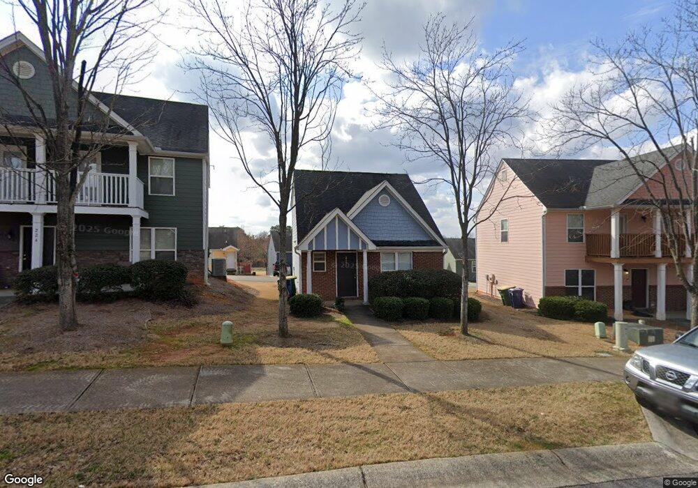
218 Katydid Dr Athens, GA 30601
North Avenue NeighborhoodEstimated Value: $293,037 - $354,000
3
Beds
3
Baths
1,309
Sq Ft
$245/Sq Ft
Est. Value
About This Home
This home is located at 218 Katydid Dr, Athens, GA 30601 and is currently estimated at $321,009, approximately $245 per square foot. 218 Katydid Dr is a home located in Clarke County with nearby schools including Howard B. Stroud Elementary School, Coile Middle School, and Cedar Shoals High School.
Ownership History
Date
Name
Owned For
Owner Type
Purchase Details
Closed on
Dec 28, 2007
Sold by
Not Provided
Bought by
Gomez Albeiro M
Current Estimated Value
Home Financials for this Owner
Home Financials are based on the most recent Mortgage that was taken out on this home.
Original Mortgage
$70,000
Outstanding Balance
$43,530
Interest Rate
6.05%
Mortgage Type
New Conventional
Estimated Equity
$277,479
Purchase Details
Closed on
Sep 13, 2006
Sold by
Not Provided
Bought by
Gomez Albeiro M
Create a Home Valuation Report for This Property
The Home Valuation Report is an in-depth analysis detailing your home's value as well as a comparison with similar homes in the area
Home Values in the Area
Average Home Value in this Area
Purchase History
| Date | Buyer | Sale Price | Title Company |
|---|---|---|---|
| Gomez Albeiro M | $120,000 | -- | |
| Gomez Albeiro M | $40,000 | -- |
Source: Public Records
Mortgage History
| Date | Status | Borrower | Loan Amount |
|---|---|---|---|
| Open | Gomez Albeiro M | $70,000 |
Source: Public Records
Tax History
| Year | Tax Paid | Tax Assessment Tax Assessment Total Assessment is a certain percentage of the fair market value that is determined by local assessors to be the total taxable value of land and additions on the property. | Land | Improvement |
|---|---|---|---|---|
| 2025 | $3,512 | $113,122 | $12,000 | $101,122 |
| 2024 | $3,512 | $109,323 | $12,000 | $97,323 |
| 2023 | $3,416 | $99,767 | $10,400 | $89,367 |
| 2022 | $2,739 | $85,856 | $10,400 | $75,456 |
| 2021 | $2,063 | $61,231 | $9,600 | $51,631 |
| 2020 | $1,923 | $57,069 | $9,600 | $47,469 |
| 2019 | $1,854 | $54,602 | $9,600 | $45,002 |
| 2018 | $1,794 | $52,832 | $9,600 | $43,232 |
| 2017 | $1,628 | $47,950 | $9,600 | $38,350 |
| 2016 | $1,496 | $44,070 | $9,600 | $34,470 |
| 2015 | $1,499 | $44,082 | $9,600 | $34,482 |
| 2014 | $1,501 | $44,087 | $9,600 | $34,487 |
Source: Public Records
Map
Nearby Homes
- 190 Conrad Dr
- 455 Ruth St
- 464 Ruth St
- 211 North Ave Unit 1225
- 211 North Ave
- 211 North Ave Unit 1227
- 118 Ruth Dr Unit 610
- 118 Ruth Dr Unit 130
- 118 Ruth Dr Unit 140
- 118 Ruth Dr Unit 310
- 239 Madison Heights
- 495 Boley Dr
- 390 Athens Ave
- 249 Fifth St
- 192 Sunny Hills Dr
- 668 Pulaski St
- 860 College Ave
- 447 Rosa Nell Howard St
- 940 College Ave
- 600 Pulaski St
- 224 Katydid Dr
- 212 Katydid Dr
- 230 Katydid Dr
- 206 Katydid Dr
- 231 Fern Ridge Ct
- 225 Fern Ridge Ct
- 237 Fern Ridge Ct
- 219 Fern Ridge Ct
- 243 Fern Ridge Ct
- 1123 Katydid Dr
- 236 Katydid Dr
- 213 Fern Ridge Ct
- 211 Katydid Dr
- 201 Katydid Dr
- 249 Fern Ridge Ct
- 221 Katydid Dr
- 191 Katydid Dr
- 207 Fern Ridge Ct
- 255 Fern Ridge Ct
- 242 Katydid Dr
Your Personal Tour Guide
Ask me questions while you tour the home.