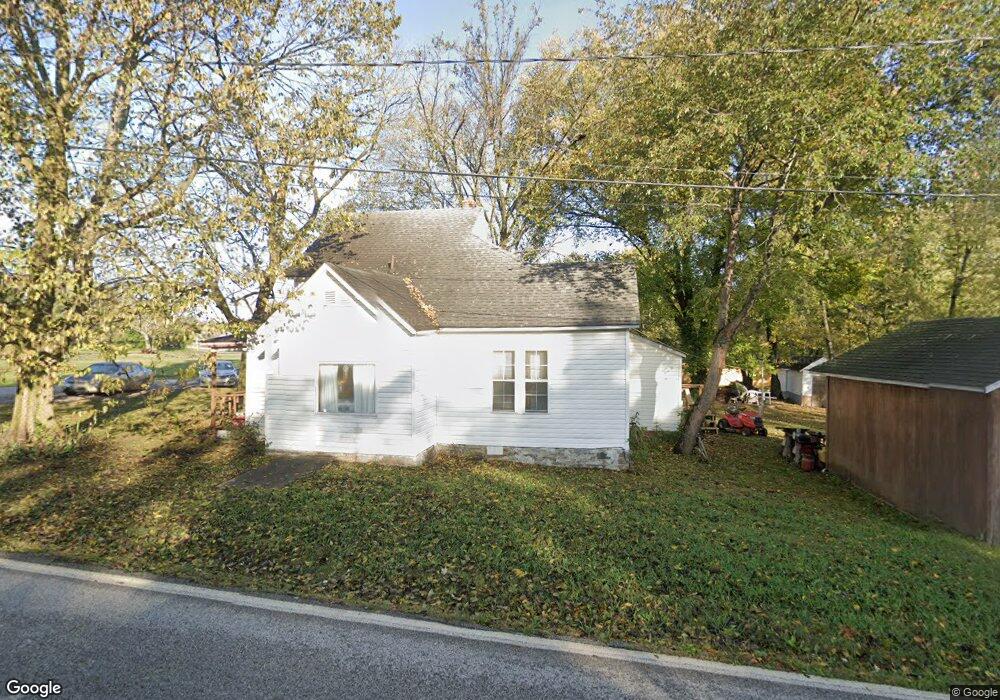
218 Main St West Fork, AR 72774
Estimated Value: $141,448 - $295,000
--
Bed
--
Bath
1,524
Sq Ft
$149/Sq Ft
Est. Value
About This Home
This home is located at 218 Main St, West Fork, AR 72774 and is currently estimated at $227,362, approximately $149 per square foot. 218 Main St is a home with nearby schools including West Fork Elementary School, West Fork Middle School, and West Fork High School.
Ownership History
Date
Name
Owned For
Owner Type
Purchase Details
Closed on
Jul 7, 2006
Sold by
Underhill Carl and Underhill Katherine
Bought by
Carl Ramon and Underhill Revoc Katherine E
Current Estimated Value
Purchase Details
Closed on
Sep 19, 1996
Bought by
Underhill Carl and Underhill Kathy
Purchase Details
Closed on
Mar 16, 1990
Bought by
Stockburger Jerry
Purchase Details
Closed on
Jan 1, 1985
Bought by
Waterfield Amanda
Create a Home Valuation Report for This Property
The Home Valuation Report is an in-depth analysis detailing your home's value as well as a comparison with similar homes in the area
Home Values in the Area
Average Home Value in this Area
Purchase History
| Date | Buyer | Sale Price | Title Company |
|---|---|---|---|
| Carl Ramon | -- | None Available | |
| Underhill Carl | $22,000 | -- | |
| Stockburger Jerry | -- | -- | |
| Waterfield Amanda | -- | -- |
Source: Public Records
Tax History Compared to Growth
Tax History
| Year | Tax Paid | Tax Assessment Tax Assessment Total Assessment is a certain percentage of the fair market value that is determined by local assessors to be the total taxable value of land and additions on the property. | Land | Improvement |
|---|---|---|---|---|
| 2025 | -- | $23,410 | $7,000 | $16,410 |
| 2024 | $64 | $23,410 | $7,000 | $16,410 |
| 2023 | $142 | $23,410 | $7,000 | $16,410 |
| 2022 | $192 | $15,190 | $4,250 | $10,940 |
| 2021 | $192 | $15,190 | $4,250 | $10,940 |
| 2020 | $192 | $15,190 | $4,250 | $10,940 |
| 2019 | $192 | $11,180 | $3,300 | $7,880 |
| 2018 | $217 | $11,180 | $3,300 | $7,880 |
| 2017 | $20 | $11,180 | $3,300 | $7,880 |
| 2016 | $201 | $11,180 | $3,300 | $7,880 |
| 2015 | $201 | $11,180 | $3,300 | $7,880 |
| 2014 | $201 | $10,686 | $2,750 | $7,936 |
Source: Public Records
Map
Nearby Homes
- 0000 Highway 170
- 185 Wheeler St
- 302 Mcknight Ave
- 121 & 129 Main St
- 321 Cedar Springs Place
- 340 W Smith St
- 222 Rivendale Dr
- Springs 1445 Plan at Rolling Plains
- Eureka 1536 Plan at Rolling Plains
- Oak 1463 Plan at Rolling Plains
- Magnolia 1556 Plan at Rolling Plains
- Ashton 1496 Plan at Rolling Plains
- Ouachita 1669 Plan at Rolling Plains
- Osage 1567 Plan at Rolling Plains
- Maple 1659 Plan at Rolling Plains
- 106 Pleasant St
- 393 W Smith St
- 365 W Smith St
- 327 W Smith St
- 385 W Smith St
- 262 Maple Ave
- 210 Main St
- 226 Maple Ave
- 223 Garfield Ave
- 233 Garfield Ave
- 224 Maple Ave
- 224 Maple St
- 170 S Hwy Ar
- 0 Hwy 170 Unit 276374
- 0 Hwy 170 Unit 280335
- 0 Hwy 170 Unit 376766
- 0 Hwy 170 Unit 292045
- 0 Hwy 170 Unit 294487
- 0 Hwy 170 Unit 296810
- 0 Hwy 170 Unit 296811
- 0 Hwy 170 Unit 296812
- 0 Hwy 170 Unit 366990
- 0 Hwy 170 Unit 370479
- 0 Hwy 170 Unit 371033
- 0 Hwy 170 Unit 361493