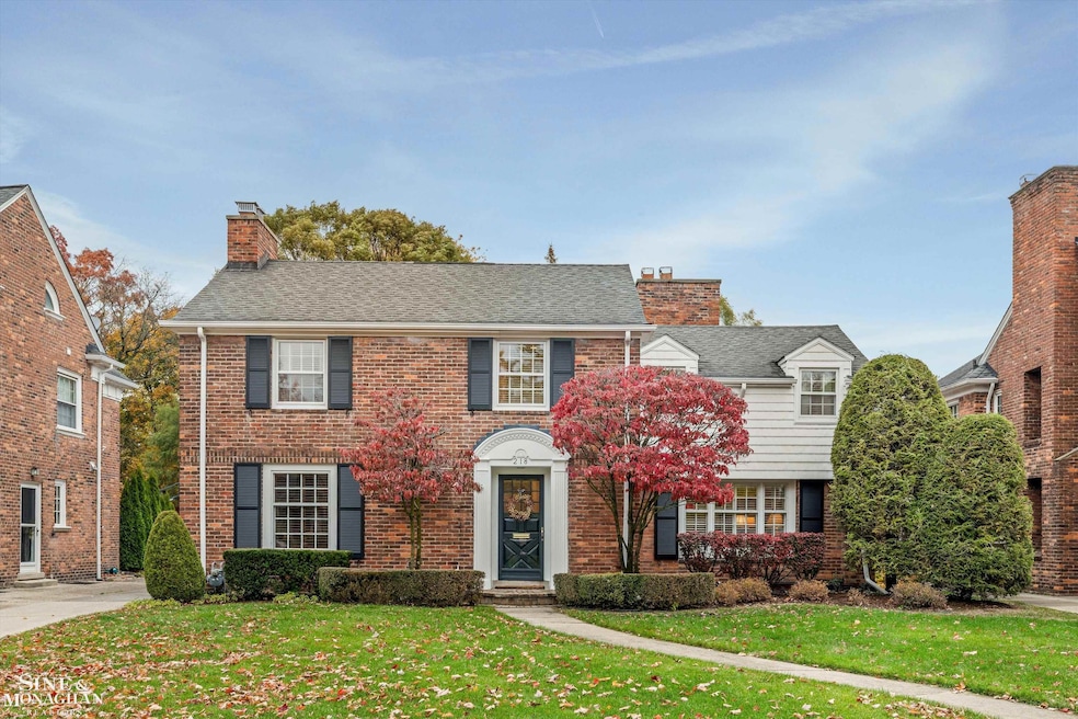
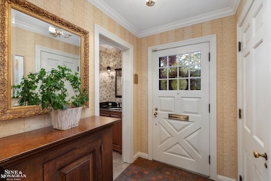
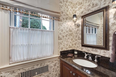
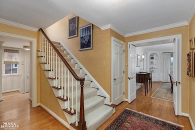
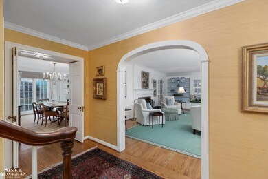
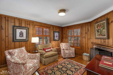
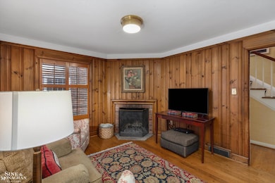
Welcome to 218 Merriweather — where timeless character meets modern living in the heart of Grosse Pointe Farms. Over 3,200 square feet of beautifully updated space with four bedrooms and two-and-a-half baths, this home is loaded with charm, thoughtful updates, and warm architectural detail. Step through the grand entrance with side staircase and arched doorways. A paneled library/den with natural fireplace sets a refined tone, while the living room’s built-ins and cozy window seat make it easy to linger. The dining room is truly stunning with wainscoting, corner built-ins, and access to the patio — perfect for entertaining. Throughout the home, arched doorways, beautiful trim, wainscoting, and moldings showcase craftsmanship rarely seen today — creating a refined yet welcoming atmosphere that feels warm and inviting at every turn. The kitchen, expertly redesigned by Mutschler, features stainless steel appliances, a center island, and casual table seating. A convenient side entry with mudroom keeps everyday living organized. A recently added family room with built-ins and transom windows fills the space with natural sunlight and features a French door leading to the paver patio and expansive backyard — truly the heart of the home and a rare find in the Farms. Upstairs, the primary suite offers a spacious updated bath with dual vanities and a large walk-in shower. Three additional bedrooms feature generous closets and share another updated full bath. The finished lower level adds a natural brick rec room, office, and full bath — the ideal bonus space for work or play. Outside, the deep yard steals the show — perfect for barbecues, family gatherings, or quiet evenings under the stars. Welcome home to 218 Merriweather — charm, quality, and location all rolled into one!