Estimated Value: $191,000 - $223,000
3
Beds
1
Bath
1,531
Sq Ft
$138/Sq Ft
Est. Value
About This Home
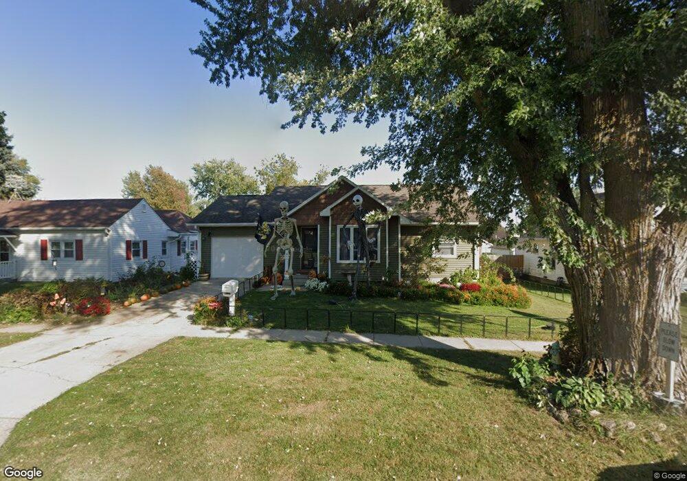
This home is located at 218 N Maple Ave, Logan, IA 51546 and is currently estimated at $210,796, approximately $137 per square foot. 218 N Maple Ave is a home located in Harrison County with nearby schools including Logan-Magnolia Elementary School and Logan-Magnolia Junior/Senior High School.
Ownership History
Date
Name
Owned For
Owner Type
Purchase Details
Closed on
Jul 23, 2008
Sold by
Knau Brian D
Bought by
Spencer Jenna L
Current Estimated Value
Home Financials for this Owner
Home Financials are based on the most recent Mortgage that was taken out on this home.
Original Mortgage
$121,321
Outstanding Balance
$97,408
Interest Rate
6.36%
Mortgage Type
USDA
Estimated Equity
$113,388
Create a Home Valuation Report for This Property
The Home Valuation Report is an in-depth analysis detailing your home's value as well as a comparison with similar homes in the area
Home Values in the Area
Average Home Value in this Area
Purchase History
| Date | Buyer | Sale Price | Title Company |
|---|---|---|---|
| Spencer Jenna L | $120,500 | None Available |
Source: Public Records
Mortgage History
| Date | Status | Borrower | Loan Amount |
|---|---|---|---|
| Open | Spencer Jenna L | $121,321 |
Source: Public Records
Tax History Compared to Growth
Tax History
| Year | Tax Paid | Tax Assessment Tax Assessment Total Assessment is a certain percentage of the fair market value that is determined by local assessors to be the total taxable value of land and additions on the property. | Land | Improvement |
|---|---|---|---|---|
| 2025 | $3,342 | $209,150 | $13,500 | $195,650 |
| 2024 | $3,342 | $190,210 | $13,500 | $176,710 |
| 2023 | $3,226 | $190,210 | $13,500 | $176,710 |
| 2022 | $2,750 | $141,038 | $13,500 | $127,538 |
| 2021 | $2,750 | $141,038 | $13,500 | $127,538 |
| 2020 | $2,500 | $131,905 | $13,500 | $118,405 |
| 2019 | $2,496 | $131,905 | $13,500 | $118,405 |
| 2018 | $2,444 | $124,595 | $0 | $0 |
| 2017 | $2,444 | $124,595 | $0 | $0 |
| 2016 | $2,562 | $124,595 | $0 | $0 |
| 2015 | $2,562 | $112,248 | $0 | $0 |
| 2014 | $2,232 | $112,248 | $0 | $0 |
Source: Public Records
Map
Nearby Homes
- 721 Glen Rd
- 114 E 10th St
- 1010 Skyline Dr
- 415 Wessar Dr
- Lot 18 Mulligan Trail
- 2607 220th St
- 2144 Norton Ave
- LOT 27 Mulligan Trail
- 2484 280th St
- LOT 26 Lmvcc Estates
- 2464 Mulligan Trail
- LOT 20 Lmvcc Estates
- LOT 17 Lmvcc Estates
- Lot 17 Lmvcc Estates Trail
- LOT 15 Mulligan Trail
- 2853 Preston Place
- 2740 Whitetail Dr
- LOT D Fieldcrest Dr
- LOT E & K Fieldcrest Dr
- LOT C Fieldcrest Dr