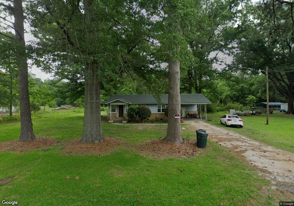
218 Palmer Rd Ellisville, MS 39437
Estimated Value: $77,549 - $178,000
2
Beds
1
Bath
1,100
Sq Ft
$117/Sq Ft
Est. Value
About This Home
This home is located at 218 Palmer Rd, Ellisville, MS 39437 and is currently estimated at $128,387, approximately $116 per square foot. 218 Palmer Rd is a home located in Jones County.
Ownership History
Date
Name
Owned For
Owner Type
Purchase Details
Closed on
Jan 7, 2013
Sold by
Bank Of America Na Successor By Merge
Bought by
Gilbreaith Chad
Current Estimated Value
Purchase Details
Closed on
Mar 5, 2008
Sold by
Monk William Allen and Monk Gloria Kay
Bought by
Sims Matthew W and Sims Tanya A
Home Financials for this Owner
Home Financials are based on the most recent Mortgage that was taken out on this home.
Original Mortgage
$51,632
Interest Rate
5.63%
Purchase Details
Closed on
Jan 7, 2008
Sold by
Monk Jefferson C and Monk Clairette W
Bought by
Monk William Allen
Home Financials for this Owner
Home Financials are based on the most recent Mortgage that was taken out on this home.
Original Mortgage
$51,632
Interest Rate
5.63%
Create a Home Valuation Report for This Property
The Home Valuation Report is an in-depth analysis detailing your home's value as well as a comparison with similar homes in the area
Home Values in the Area
Average Home Value in this Area
Purchase History
| Date | Buyer | Sale Price | Title Company |
|---|---|---|---|
| Gilbreaith Chad | -- | -- | |
| Sims Matthew W | -- | -- | |
| Monk William Allen | -- | -- | |
| Monk William Allen | -- | -- |
Source: Public Records
Mortgage History
| Date | Status | Borrower | Loan Amount |
|---|---|---|---|
| Previous Owner | Sims Matthew W | $51,632 |
Source: Public Records
Tax History Compared to Growth
Tax History
| Year | Tax Paid | Tax Assessment Tax Assessment Total Assessment is a certain percentage of the fair market value that is determined by local assessors to be the total taxable value of land and additions on the property. | Land | Improvement |
|---|---|---|---|---|
| 2024 | $743 | $5,869 | $0 | $0 |
| 2023 | $743 | $5,869 | $0 | $0 |
| 2022 | $759 | $5,869 | $0 | $0 |
| 2021 | $1,099 | $5,869 | $0 | $0 |
| 2020 | $765 | $5,782 | $0 | $0 |
| 2019 | $767 | $5,782 | $0 | $0 |
| 2018 | $767 | $5,782 | $0 | $0 |
| 2017 | $767 | $5,782 | $0 | $0 |
| 2016 | $963 | $5,691 | $0 | $0 |
| 2015 | $790 | $5,667 | $0 | $0 |
| 2014 | $790 | $6,383 | $0 | $0 |
Source: Public Records
Map
Nearby Homes
- 9 Sanderson Rd
- 31 Sanderson Rd
- N/A Ashlynn Rd
- 0 Burnt Bridge Rd
- 9 Longview Cutoff Dr
- 144 Don Curt Blvd
- 4365 Indian Springs Rd
- 514 Paulding Rd
- 1628 Airport Dr
- 131 Violet Dr
- 1709 Lee St
- 1131 Capitol St
- 1498 Mississippi 29
- 425 Paulding Rd
- 1103 Wilson Ave
- 1013 Wilson Ave
- 0 Pineview Dr
- 37 Oak Crest Dr
- Meador Rd
- 915 S 14th Ave
- 206 Palmer Rd
- 212 Palmer Rd
- 200 Palmer Rd
- 192 Palmer Rd
- 184 Palmer Rd
- 205 Palmer Rd
- 211 Palmer Rd
- 225 Palmer Rd
- 3610 Indian Springs Rd
- 3608 Indian Springs Rd
- 22 Pearlie Ln
- 3606 Indian Springs Rd
- 3616 Indian Springs Rd
- 170 Palmer Rd
- 3516 Indian Springs Rd
- 3617 Indian Springs Rd
- 11 Baker Dr
- 12 Baker Dr
- 3618 Indian Springs Rd
- 9 Baker Dr