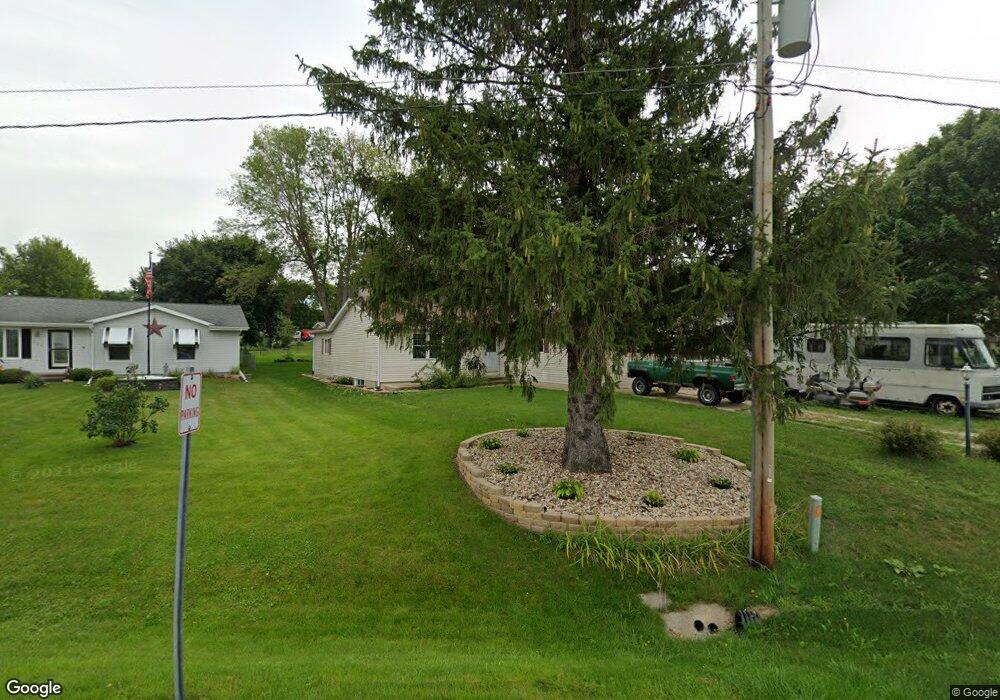
218 Palo Rd Center Point, IA 52213
Estimated Value: $217,000 - $249,000
4
Beds
2
Baths
1,368
Sq Ft
$169/Sq Ft
Est. Value
About This Home
This home is located at 218 Palo Rd, Center Point, IA 52213 and is currently estimated at $231,392, approximately $169 per square foot. 218 Palo Rd is a home located in Linn County with nearby schools including Center Point-Urbana Primary School, Center Point-Urbana Intermediate School, and Center Point-Urbana Middle School.
Ownership History
Date
Name
Owned For
Owner Type
Purchase Details
Closed on
Sep 25, 2007
Sold by
Lewis Sean N and Lewis Sean
Bought by
Ries Jessie M
Current Estimated Value
Home Financials for this Owner
Home Financials are based on the most recent Mortgage that was taken out on this home.
Original Mortgage
$5,000
Outstanding Balance
$3,177
Interest Rate
6.55%
Mortgage Type
Purchase Money Mortgage
Estimated Equity
$228,215
Purchase Details
Closed on
Aug 27, 2007
Sold by
Pilkenton Kristin L and Lewis Kristin L
Bought by
Lewis Sean N
Home Financials for this Owner
Home Financials are based on the most recent Mortgage that was taken out on this home.
Original Mortgage
$5,000
Outstanding Balance
$3,177
Interest Rate
6.55%
Mortgage Type
Purchase Money Mortgage
Estimated Equity
$228,215
Purchase Details
Closed on
Jun 23, 2006
Sold by
Breyfogle John L and Breyfogle Vicki J
Bought by
Lewis Sean N
Create a Home Valuation Report for This Property
The Home Valuation Report is an in-depth analysis detailing your home's value as well as a comparison with similar homes in the area
Home Values in the Area
Average Home Value in this Area
Purchase History
| Date | Buyer | Sale Price | Title Company |
|---|---|---|---|
| Ries Jessie M | $142,000 | None Available | |
| Lewis Sean N | -- | None Available | |
| Lewis Sean N | $133,500 | None Available |
Source: Public Records
Mortgage History
| Date | Status | Borrower | Loan Amount |
|---|---|---|---|
| Open | Ries Jessie M | $5,000 |
Source: Public Records
Tax History Compared to Growth
Tax History
| Year | Tax Paid | Tax Assessment Tax Assessment Total Assessment is a certain percentage of the fair market value that is determined by local assessors to be the total taxable value of land and additions on the property. | Land | Improvement |
|---|---|---|---|---|
| 2025 | $3,952 | $247,300 | $21,400 | $225,900 |
| 2024 | $3,990 | $236,600 | $21,400 | $215,200 |
| 2023 | $3,990 | $236,600 | $21,400 | $215,200 |
| 2022 | $3,982 | $197,600 | $21,400 | $176,200 |
| 2021 | $3,752 | $197,700 | $21,400 | $176,300 |
| 2020 | $3,752 | $177,600 | $21,400 | $156,200 |
| 2019 | $3,350 | $163,700 | $21,400 | $142,300 |
| 2018 | $3,268 | $163,700 | $21,400 | $142,300 |
| 2017 | $3,175 | $151,500 | $21,400 | $130,100 |
| 2016 | $3,175 | $151,500 | $21,400 | $130,100 |
| 2015 | $3,179 | $151,500 | $21,400 | $130,100 |
| 2014 | $2,992 | $151,500 | $21,400 | $130,100 |
| 2013 | $2,966 | $151,500 | $21,400 | $130,100 |
Source: Public Records
Map
Nearby Homes
- 115 Main St
- 0 Iowa St
- 318 Crestview Dr
- 523 Rogers Ln
- 603 Pointer Cir
- 708 Rogers Ln
- 717 Pointer Cir
- 718 Pointer Cir
- 316 E Washington St
- 529 Jefferson Ct
- 523 E Terrace Dr
- 809 Iowa St
- 120 Green St
- 132 Green St
- 702 Central Ave
- 0 Palo Rd
- 920 E Washington St
- 31 Acres N Center Point Rd
- 507 Maplewood Dr
- 508 Vine St