Estimated Value: $484,889 - $575,000
3
Beds
2
Baths
2,270
Sq Ft
$237/Sq Ft
Est. Value
About This Home
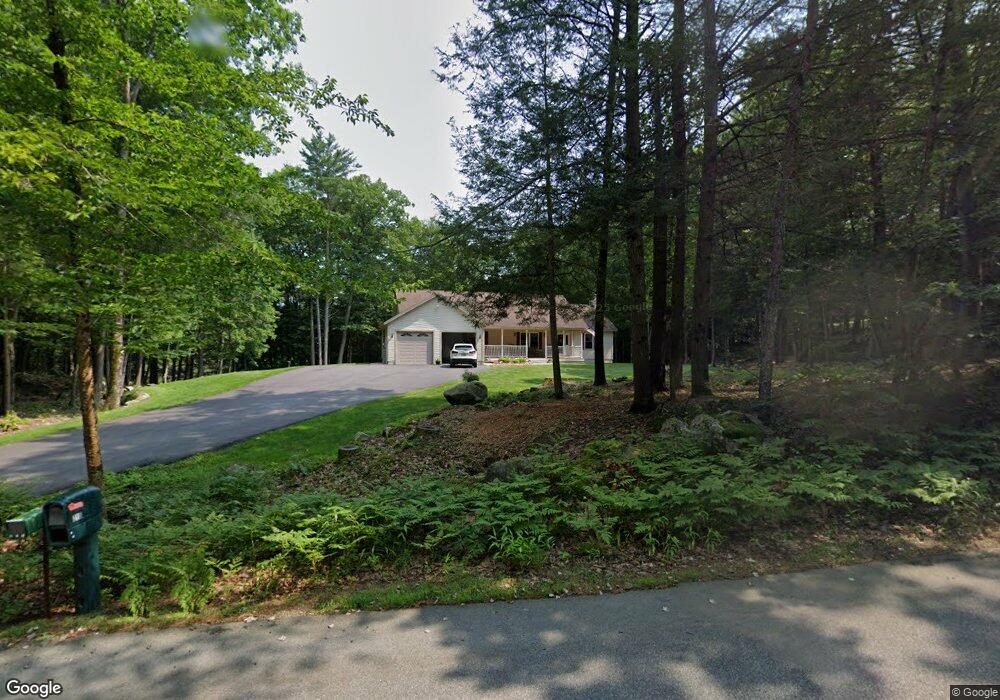
This home is located at 218 Pond Rd, Surry, NH 03431 and is currently estimated at $538,222, approximately $237 per square foot. 218 Pond Rd is a home located in Cheshire County with nearby schools including Keene High School and Surry Village Charter School.
Ownership History
Date
Name
Owned For
Owner Type
Purchase Details
Closed on
Dec 12, 2005
Sold by
Inex Homes Llc
Bought by
Kyle David S
Current Estimated Value
Home Financials for this Owner
Home Financials are based on the most recent Mortgage that was taken out on this home.
Original Mortgage
$280,000
Outstanding Balance
$151,876
Interest Rate
6.17%
Estimated Equity
$386,346
Create a Home Valuation Report for This Property
The Home Valuation Report is an in-depth analysis detailing your home's value as well as a comparison with similar homes in the area
Purchase History
| Date | Buyer | Sale Price | Title Company |
|---|---|---|---|
| Kyle David S | $60,000 | -- | |
| Kyle David S | $60,000 | -- |
Source: Public Records
Mortgage History
| Date | Status | Borrower | Loan Amount |
|---|---|---|---|
| Open | Kyle David S | $80,000 | |
| Closed | Kyle David S | $95,000 | |
| Open | Kyle David S | $280,000 | |
| Closed | Kyle David S | $280,000 |
Source: Public Records
Tax History
| Year | Tax Paid | Tax Assessment Tax Assessment Total Assessment is a certain percentage of the fair market value that is determined by local assessors to be the total taxable value of land and additions on the property. | Land | Improvement |
|---|---|---|---|---|
| 2025 | $6,752 | $401,400 | $100,000 | $301,400 |
| 2024 | $6,752 | $401,400 | $100,000 | $301,400 |
| 2023 | $6,430 | $401,400 | $100,000 | $301,400 |
| 2022 | $6,446 | $401,400 | $100,000 | $301,400 |
| 2021 | $5,880 | $239,800 | $57,800 | $182,000 |
| 2020 | $6,815 | $239,800 | $57,800 | $182,000 |
| 2019 | $6,935 | $239,800 | $57,800 | $182,000 |
| 2018 | $5,331 | $239,800 | $57,800 | $182,000 |
| 2017 | $5,331 | $239,800 | $57,800 | $182,000 |
| 2016 | $4,094 | $225,200 | $58,900 | $166,300 |
| 2015 | $5,589 | $225,200 | $58,900 | $166,300 |
| 2014 | $5,400 | $225,200 | $58,900 | $166,300 |
| 2013 | $4,842 | $225,200 | $58,900 | $166,300 |
Source: Public Records
Map
Nearby Homes
- 143 Village Rd
- Lot 27-1 Old Walpole Rd
- 0 Old Gilsum Rd Unit 5034729
- 24 Village Rd
- 28 Village Rd
- 224 Darling Rd
- 2 S View Dr
- 60 Butternut Dr
- 225B Belvedere Rd Unit B
- 794 Court St Unit D
- 67 Oriole Ave
- Lot 4 Belvedere Rd
- 8 Marguerite St
- 41 Morin Ave
- 000 S Village Rd Unit 13
- 521 County Rd
- 0 New Hampshire 10 Unit 7
- 362 Court St
- 00 Concord Rd Unit 32
- 50 Forest St
Your Personal Tour Guide
Ask me questions while you tour the home.