218 Sampson Creek Rd Chesapeake, VA 23322
Deep Creek NeighborhoodEstimated Value: $848,348
--
Bed
--
Bath
6,250
Sq Ft
$136/Sq Ft
Est. Value
About This Home
This home is located at 218 Sampson Creek Rd, Chesapeake, VA 23322 and is currently estimated at $848,348, approximately $135 per square foot. 218 Sampson Creek Rd is a home located in Chesapeake City with nearby schools including Grassfield Elementary School, Hugo A. Owens Middle, and Grassfield High School.
Ownership History
Date
Name
Owned For
Owner Type
Purchase Details
Closed on
Jul 22, 2003
Sold by
Anderson Charles
Bought by
M B R Properties
Current Estimated Value
Home Financials for this Owner
Home Financials are based on the most recent Mortgage that was taken out on this home.
Original Mortgage
$297,500
Interest Rate
5.98%
Mortgage Type
Construction
Create a Home Valuation Report for This Property
The Home Valuation Report is an in-depth analysis detailing your home's value as well as a comparison with similar homes in the area
Home Values in the Area
Average Home Value in this Area
Purchase History
| Date | Buyer | Sale Price | Title Company |
|---|---|---|---|
| M B R Properties | $350,000 | -- |
Source: Public Records
Mortgage History
| Date | Status | Borrower | Loan Amount |
|---|---|---|---|
| Previous Owner | M B R Properties | $297,500 |
Source: Public Records
Tax History Compared to Growth
Tax History
| Year | Tax Paid | Tax Assessment Tax Assessment Total Assessment is a certain percentage of the fair market value that is determined by local assessors to be the total taxable value of land and additions on the property. | Land | Improvement |
|---|---|---|---|---|
| 2025 | $10,016 | $998,100 | $626,000 | $372,100 |
| 2024 | $10,016 | $991,700 | $626,000 | $365,700 |
| 2023 | $9,230 | $913,900 | $571,300 | $342,600 |
| 2022 | $9,551 | $945,600 | $571,300 | $374,300 |
| 2021 | $9,290 | $884,800 | $571,300 | $313,500 |
| 2020 | $9,363 | $891,700 | $571,300 | $320,400 |
| 2019 | $9,318 | $887,400 | $571,300 | $316,100 |
| 2018 | $9,306 | $886,300 | $571,300 | $315,000 |
| 2017 | $7,870 | $749,500 | $542,800 | $206,700 |
| 2016 | $7,569 | $720,900 | $514,200 | $206,700 |
| 2015 | $7,283 | $693,600 | $514,200 | $179,400 |
| 2014 | $7,283 | $693,600 | $514,200 | $179,400 |
Source: Public Records
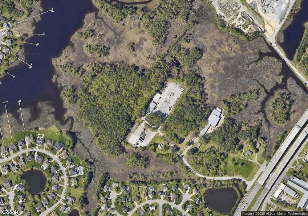
Map
Nearby Homes
- 1920 Lancing Crest Ln
- 2001 Kelsey Bay Ct
- 2219 Angler Ln
- 2000 Kelsey Bay Ct
- 1917 Mccoy Rd
- 1918 Mccoy Rd
- 1916 Mccoy Rd
- 1908 Mccoy Rd
- 1906 Mccoy Rd
- 1725 Burson Dr
- 1928 Moses Grandy Trail
- 1704 Kaywood Ln
- 2031 Kinston Waters Ct
- 2014 Millville Rd
- 1860 Millville Rd
- 1957 Rockwood Dr
- 1312 False Creek Way
- 108 Marina Reach
- 2139 Sunset Maple Ln
- 137 Waterfront Dr
- 216 Sampson Creek Rd
- 216 Dominion Blvd S
- 214 Sampson Creek Rd
- 210 Sampson Creek Rd
- 1704 Vinton Cir
- 314 Lancing Way
- 1705 Bluecastle Way
- 1707 Bluecastle Way
- 312 Lancing Way
- 316 Lancing Way
- 1708 Bluecastle Way
- 1706 Vinton Cir
- 1700 Vinton Cir
- 1703 Bluecastle Way
- 1928 Lancing Crest Ln
- 1926 Lancing Crest Ln
- 1924 Lancing Crest Ln
- 1930 Lancing Crest Ln
- 315 Lancing Way
- 1706 Bluecastle Way