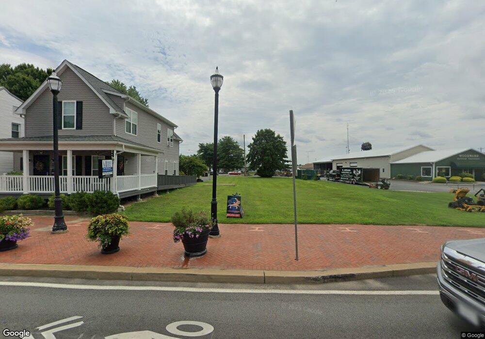
218 W Main St Middletown, DE 19709
Estimated Value: $241,000 - $526,000
Studio
--
Bath
--
Sq Ft
7,405
Sq Ft Lot
About This Home
This home is located at 218 W Main St, Middletown, DE 19709 and is currently estimated at $348,938. 218 W Main St is a home located in New Castle County with nearby schools including Silver Lake Elementary School, Everett Meredith Middle School, and Middletown High School.
Ownership History
Date
Name
Owned For
Owner Type
Purchase Details
Closed on
Mar 12, 2015
Bought by
218 West Main Llc
Current Estimated Value
Purchase Details
Closed on
Jan 21, 2010
Sold by
218 West Main Street Llc
Bought by
Diamondtown Llc and 218 West Main Street Llc
Purchase Details
Closed on
Jul 27, 2009
Sold by
Tidaback William
Bought by
218 West Main Street Llc
Home Financials for this Owner
Home Financials are based on the most recent Mortgage that was taken out on this home.
Original Mortgage
$75,000
Interest Rate
5.47%
Mortgage Type
Future Advance Clause Open End Mortgage
Create a Home Valuation Report for This Property
The Home Valuation Report is an in-depth analysis detailing your home's value as well as a comparison with similar homes in the area
Home Values in the Area
Average Home Value in this Area
Purchase History
| Date | Buyer | Sale Price | Title Company |
|---|---|---|---|
| 218 West Main Llc | -- | -- | |
| Diamondtown Llc | -- | The Security Title Guarantee | |
| 218 West Main Street Llc | $100,000 | Global Title Inc |
Source: Public Records
Mortgage History
| Date | Status | Borrower | Loan Amount |
|---|---|---|---|
| Previous Owner | 218 West Main Street Llc | $75,000 |
Source: Public Records
Tax History
| Year | Tax Paid | Tax Assessment Tax Assessment Total Assessment is a certain percentage of the fair market value that is determined by local assessors to be the total taxable value of land and additions on the property. | Land | Improvement |
|---|---|---|---|---|
| 2024 | $10 | $3,400 | $3,400 | -- |
| 2023 | $105 | $3,400 | $3,400 | $0 |
| 2022 | $105 | $3,400 | $3,400 | $0 |
| 2021 | $102 | $3,400 | $3,400 | $0 |
| 2020 | $101 | $3,400 | $3,400 | $0 |
| 2019 | $104 | $3,400 | $3,400 | $0 |
| 2018 | $90 | $3,400 | $3,400 | $0 |
| 2017 | $86 | $3,400 | $3,400 | $0 |
| 2016 | $78 | $3,400 | $3,400 | $0 |
| 2015 | $85 | $3,400 | $3,400 | $0 |
| 2014 | $85 | $3,400 | $3,400 | $0 |
Source: Public Records
Map
Nearby Homes
- 14 W Lake St
- 102 S Broad St
- 11 W Hoffecker St
- 12 E Cochran St
- 11 E Lockwood St
- 129 E Main St
- 113 Crawford St
- 102 E Redding St
- 108 E Cochran St
- 8 Redding Cir
- 3 Redding Cir
- 610 Louis Ln
- 25 Franklin Dr
- 162 Liborio Dr
- 659 Warren Dr
- 541 Diamond Dr
- 908 S Cass St
- 403 New St
- 60 S Cummings Dr
- 447 Toftrees Dr
- 210 W Main St
- 212 W Main St
- 200 W Main St
- 209 W Main St
- 120 W Main St
- 123 W Main St
- 116 W Main St
- 117 W Main St
- 115 W Main St
- 110 W Main St
- 111 W Main St
- 109 W Main St
- 321 E Green St
- 11 A or B Wood Stree Wood St
- 11 A and B Wood Stre Wood St
- 329 E Green St
- 8 10 N Cass St
- 8 N Cass St
- 11 Wood St
- 100 W Main St
Your Personal Tour Guide
Ask me questions while you tour the home.