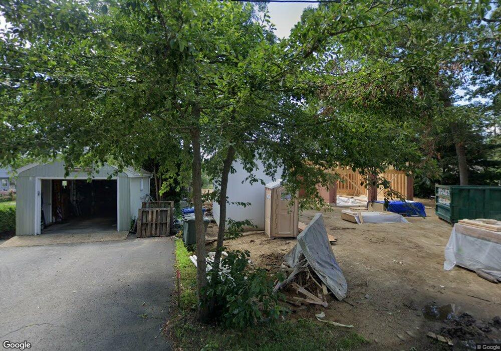
218 Whitehead Rd Coventry, RI 02816
Estimated Value: $406,000 - $684,859
1
Bed
1
Bath
486
Sq Ft
$1,108/Sq Ft
Est. Value
About This Home
This home is located at 218 Whitehead Rd, Coventry, RI 02816 and is currently estimated at $538,465, approximately $1,107 per square foot. 218 Whitehead Rd is a home located in Kent County with nearby schools including Alan Shawn Feinstein Ms Of Cov, Coventry High School, and Father John V. Doyle School.
Ownership History
Date
Name
Owned For
Owner Type
Purchase Details
Closed on
Jun 20, 2023
Sold by
Gunnip Robert
Bought by
Morton Charles A and Morton Sandra J
Current Estimated Value
Create a Home Valuation Report for This Property
The Home Valuation Report is an in-depth analysis detailing your home's value as well as a comparison with similar homes in the area
Purchase History
We collect this data history from publicly available records. To have your information removed, we recommend requesting removal directly through your county’s website.
| Date | Buyer | Sale Price | Title Company |
|---|---|---|---|
| Morton Charles A | $250,000 | None Available |
Source: Public Records
Tax History
| Year | Tax Paid | Tax Assessment Tax Assessment Total Assessment is a certain percentage of the fair market value that is determined by local assessors to be the total taxable value of land and additions on the property. | Land | Improvement |
|---|---|---|---|---|
| 2025 | $6,521 | $405,300 | $245,600 | $159,700 |
| 2024 | $5,124 | $323,500 | $245,600 | $77,900 |
| 2023 | $4,959 | $323,500 | $245,600 | $77,900 |
| 2022 | $4,791 | $244,800 | $206,600 | $38,200 |
| 2021 | $4,749 | $244,800 | $206,600 | $38,200 |
| 2020 | $5,444 | $244,800 | $206,600 | $38,200 |
| 2019 | $3,781 | $170,000 | $135,900 | $34,100 |
| 2018 | $3,674 | $170,000 | $135,900 | $34,100 |
| 2017 | $3,567 | $170,000 | $135,900 | $34,100 |
| 2016 | $3,456 | $161,400 | $124,900 | $36,500 |
| 2015 | $3,362 | $161,400 | $124,900 | $36,500 |
| 2014 | $3,090 | $161,400 | $124,900 | $36,500 |
| 2013 | $3,124 | $167,400 | $128,900 | $38,500 |
Source: Public Records
Map
Nearby Homes
- 285 Ayoho Rd
- 83 Sunset Lake Cir
- 65 Sunset Lake Cir
- 12 Ayoho Rd
- 2 June Ct
- 8 Devon Place
- 5 June Ct
- 2 Whitehead Rd
- 1 Whitehead Rd
- 0 Whitehead Rd Unit 1409268
- 193 Shady Valley Rd
- 59 Club House Rd
- 6 Acacia Ct
- 10 Jessica Lee Ct
- 27 Club House Rd
- 0 Poor Farm Lot 67 Rd
- 42 Kiley Way
- 13 Valiant Dr
- 26 Acres of Pine Rd
- 77 Wright Way
- 212 Whitehead Rd
- 210 Whitehead Rd
- 204 Whitehead Rd
- 228 Whitehead Rd
- 225 Whitehead Rd
- 198 Whitehead Rd
- 238 Whitehead Rd
- 181 Whitehead Rd
- 246 Whitehead Rd
- 245 Whitehead Rd
- 260 Whitehead Rd
- 155 Whitehead Rd
- 187 Ayoho Rd
- 247 Whitehead Rd
- 261 Whitehead Rd
- 165 Ayoho Rd
- 161 Ayoho Rd
- 140 Whitehead Rd
- 240 Ayoho Rd
- 133 Whitehead Rd
Your Personal Tour Guide
Ask me questions while you tour the home.