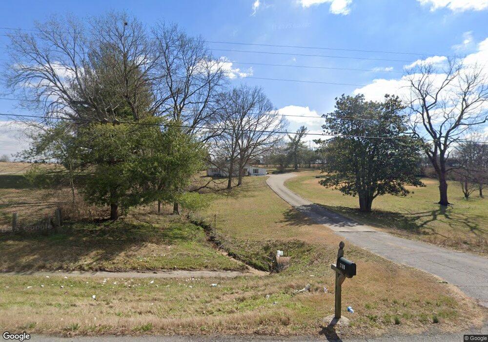
2180 Highway 31 E Gallatin, TN 37066
Estimated Value: $383,000 - $684,000
--
Bed
2
Baths
1,886
Sq Ft
$291/Sq Ft
Est. Value
About This Home
This home is located at 2180 Highway 31 E, Gallatin, TN 37066 and is currently estimated at $548,667, approximately $290 per square foot. 2180 Highway 31 E is a home located in Sumner County with nearby schools including Benny C. Bills Elementary School, Joe Shafer Middle School, and Gallatin Senior High School.
Ownership History
Date
Name
Owned For
Owner Type
Purchase Details
Closed on
Jan 6, 2020
Sold by
Templeton Elizabeth B
Bought by
Fowler Avery B and Fowler Mary G
Current Estimated Value
Purchase Details
Closed on
Oct 1, 2019
Sold by
Taylor Ronnie Dale and Taylor Shannon M
Bought by
Taylor Ronnie Dale and Taylor Shannon M
Home Financials for this Owner
Home Financials are based on the most recent Mortgage that was taken out on this home.
Original Mortgage
$245,000
Interest Rate
3.75%
Mortgage Type
New Conventional
Purchase Details
Closed on
Apr 27, 2016
Sold by
Templeton Elizabeth B and Fowler Elizabeth B
Bought by
Grantham Vicki
Purchase Details
Closed on
Jul 11, 2007
Sold by
Braly Ladye Belle
Bought by
Fowler Elizabeth B
Create a Home Valuation Report for This Property
The Home Valuation Report is an in-depth analysis detailing your home's value as well as a comparison with similar homes in the area
Home Values in the Area
Average Home Value in this Area
Purchase History
| Date | Buyer | Sale Price | Title Company |
|---|---|---|---|
| Fowler Avery B | -- | None Available | |
| Taylor Ronnie Dale | -- | None Available | |
| Grantham Vicki | -- | None Available | |
| Fowler Elizabeth B | -- | None Available |
Source: Public Records
Mortgage History
| Date | Status | Borrower | Loan Amount |
|---|---|---|---|
| Previous Owner | Taylor Ronnie Dale | $245,000 |
Source: Public Records
Tax History Compared to Growth
Tax History
| Year | Tax Paid | Tax Assessment Tax Assessment Total Assessment is a certain percentage of the fair market value that is determined by local assessors to be the total taxable value of land and additions on the property. | Land | Improvement |
|---|---|---|---|---|
| 2024 | $1,142 | $80,400 | $27,775 | $52,625 |
| 2023 | $1,006 | $44,650 | $11,000 | $33,650 |
| 2022 | $1,010 | $44,650 | $11,000 | $33,650 |
| 2021 | $972 | $42,975 | $11,000 | $31,975 |
| 2020 | $1,012 | $42,975 | $11,000 | $31,975 |
| 2019 | $1,012 | $0 | $0 | $0 |
| 2018 | $704 | $0 | $0 | $0 |
| 2017 | $704 | $0 | $0 | $0 |
| 2016 | $704 | $0 | $0 | $0 |
| 2015 | -- | $0 | $0 | $0 |
| 2014 | -- | $0 | $0 | $0 |
Source: Public Records
Map
Nearby Homes
- 104 Branham Mill Rd
- 0 Branham Mill Rd Unit RTC2887469
- 530 Branham Mill Rd
- 2030 Highway 31 E
- 1040 Double Tree Ln
- 1000 Choctaw Cove
- 515 Branham Mill Rd
- 1060 Millbrook Way
- 1009 Cherokee Cove
- 333 Woodbine Rd
- 0 Pond Dr
- 2 Deshea Creek Rd
- 6 Deshea Creek Rd
- 3 Deshea Creek Rd
- 1 Deshea Creek Rd
- 5 Deshea Creek Rd
- 7 Deshea Creek Rd
- 4 Deshea Creek Rd
- 8 Deshea Creek Rd
- 337 Woodbine Rd
- 2179 U S 31e
- 2179 Highway 31 E
- 2155 Highway 31 E
- 2192 Highway 31 E
- 2201 Highway 31 E
- 2202 Highway 31 E
- 145 Branham Mill Rd
- 2204 Highway 31 E
- 2204 Highway 31 E
- 2203 Highway 31 E
- 2203 Highway 31 E
- 153 Branham Mill Rd
- 116 Branham Mill Rd
- 122 Branham Mill Rd
- 2143 Highway 31 E
- 128 Branham Mill Rd
- 120 Branham Mill Rd
- 2221 Highway 31 E
- 110 Branham Mill Rd
- 136 Branham Mill Rd