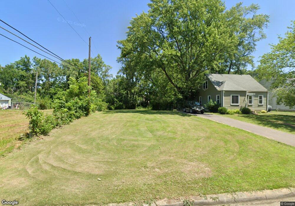
2180 Middlehurst Dr Columbus, OH 43219
Woodland Holt NeighborhoodEstimated Value: $64,000
2
Beds
1
Bath
768
Sq Ft
$83/Sq Ft
Est. Value
About This Home
This home is located at 2180 Middlehurst Dr, Columbus, OH 43219 and is currently priced at $64,000, approximately $83 per square foot. 2180 Middlehurst Dr is a home located in Franklin County with nearby schools including South Mifflin Stem Academy (K-6), Linden-Mckinley Stem School On Arcadia, and Cesar Chavez College Preparatory School.
Ownership History
Date
Name
Owned For
Owner Type
Purchase Details
Closed on
Sep 12, 2016
Sold by
Central Ohio Community Improvement Corpo
Bought by
Reed Bryon K and Reed Sheila L
Current Estimated Value
Purchase Details
Closed on
Jun 22, 2015
Sold by
City Of Columbus
Bought by
Central Ohio Community Improvement Corp
Purchase Details
Closed on
Oct 15, 2014
Sold by
Christian Beverly Jeanne and Franklin County
Bought by
City Of Columbus
Purchase Details
Closed on
Jul 16, 1968
Bought by
Christian Beverly Jeanne
Create a Home Valuation Report for This Property
The Home Valuation Report is an in-depth analysis detailing your home's value as well as a comparison with similar homes in the area
Home Values in the Area
Average Home Value in this Area
Purchase History
| Date | Buyer | Sale Price | Title Company |
|---|---|---|---|
| Reed Bryon K | -- | None Available | |
| Central Ohio Community Improvement Corp | -- | None Available | |
| City Of Columbus | -- | None Available | |
| Christian Beverly Jeanne | -- | -- |
Source: Public Records
Tax History
| Year | Tax Paid | Tax Assessment Tax Assessment Total Assessment is a certain percentage of the fair market value that is determined by local assessors to be the total taxable value of land and additions on the property. | Land | Improvement |
|---|---|---|---|---|
| 2022 | -- | $2,420 | $2,420 | -- |
| 2021 | $129 | $2,420 | $2,420 | $0 |
Source: Public Records
Map
Nearby Homes
- 1893 Jermain Dr
- 1816 Brentnell Ave
- 1991 Woodland Ave
- 2321 Dunning Ct
- 2350 Edenburgh Dr S
- 2145 Argyle Dr
- 2131 Argyle Dr
- 2169 Argyle Dr
- 2144 Toni St
- 0 Mock Rd
- 2080 Parkwood Ave Unit 2090
- 0 Danby Dr
- 1862 Argyle Dr
- 1582 Vendome Dr S
- 0 Parkwood Ave
- 1805 E 26th Ave
- 2526 Queenswood Dr
- 2271 Century Dr
- 0 Delbert Rd Unit 225030362
- 1477 Dove Dr
- 2176 Middlehurst Dr
- 2184 Middlehurst Dr
- 2188 Middlehurst Dr
- 2174 Middlehurst Dr
- 2175 Middlehurst Dr
- 2177 Middlehurst Dr
- 2192 Middlehurst Dr
- 2172 Middlehurst Dr
- 2179 Middlehurst Dr
- 2171 Middlehurst Dr
- 2225 Sagamore Rd
- 2181 Middlehurst Dr
- 2167 Middlehurst Dr
- 2200 Middlehurst Dr
- 2168 Middlehurst Dr
- 2221 Sagamore Rd
- 2229 Sagamore Rd
- 2185 Middlehurst Dr
- 2165 Middlehurst Dr
- 2206 Middlehurst Dr
Your Personal Tour Guide
Ask me questions while you tour the home.