21800 Twain Dr Devils Elbow, MO 65457
Estimated Value: $278,777 - $314,000
--
Bed
1
Bath
1,725
Sq Ft
$173/Sq Ft
Est. Value
About This Home
This home is located at 21800 Twain Dr, Devils Elbow, MO 65457 and is currently estimated at $298,592, approximately $173 per square foot. 21800 Twain Dr is a home located in Pulaski County with nearby schools including Freedom Elementary School, Waynesville East Elementary School, and Waynesville Sixth Grade Center.
Ownership History
Date
Name
Owned For
Owner Type
Purchase Details
Closed on
Jan 9, 2009
Sold by
Huff Larry K and Huff Debra S
Bought by
Cole Jeffrey A and Heritage Shelly R
Current Estimated Value
Home Financials for this Owner
Home Financials are based on the most recent Mortgage that was taken out on this home.
Original Mortgage
$144,964
Interest Rate
5.42%
Mortgage Type
Construction
Create a Home Valuation Report for This Property
The Home Valuation Report is an in-depth analysis detailing your home's value as well as a comparison with similar homes in the area
Home Values in the Area
Average Home Value in this Area
Purchase History
| Date | Buyer | Sale Price | Title Company |
|---|---|---|---|
| Cole Jeffrey A | -- | None Available |
Source: Public Records
Mortgage History
| Date | Status | Borrower | Loan Amount |
|---|---|---|---|
| Closed | Cole Jeffrey A | $144,964 |
Source: Public Records
Tax History Compared to Growth
Tax History
| Year | Tax Paid | Tax Assessment Tax Assessment Total Assessment is a certain percentage of the fair market value that is determined by local assessors to be the total taxable value of land and additions on the property. | Land | Improvement |
|---|---|---|---|---|
| 2024 | $1,245 | $28,617 | $4,617 | $24,000 |
| 2023 | $1,216 | $28,617 | $4,617 | $24,000 |
| 2022 | $1,122 | $28,617 | $4,617 | $24,000 |
| 2021 | $1,109 | $28,617 | $4,617 | $24,000 |
| 2020 | $1,089 | $26,929 | $0 | $0 |
| 2019 | $1,089 | $27,474 | $0 | $0 |
| 2018 | $1,088 | $27,474 | $0 | $0 |
| 2017 | $1,087 | $26,929 | $0 | $0 |
| 2016 | $1,033 | $27,480 | $0 | $0 |
| 2015 | -- | $27,480 | $0 | $0 |
| 2014 | $1,027 | $27,480 | $0 | $0 |
Source: Public Records
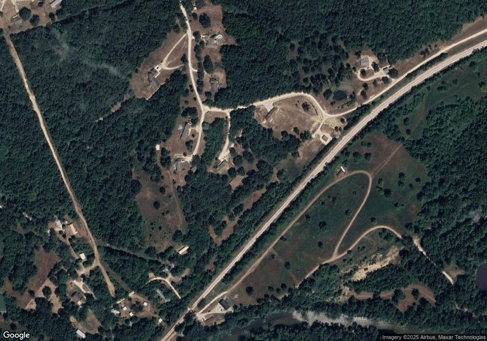
Map
Nearby Homes
- 21987 Teak Ln
- 21925 Teak Ln
- 13705 Hawksbill Dr
- 22255 Target Rd
- 13458 Toffee
- 21409 Highway 28
- 21195 Highway 28
- 14275 Happy Dr
- 107 Birchtree Cir
- 13222 Hillview Ln
- 13446 Highway Z
- 20585 Highway 28
- 20605 Highway 28
- 116 Valley Way
- 121 Valley Way
- 14390 Harvey Dr
- 14505 Harvey Dr
- 0 Hank Ln
- 23105 Triple Ln
- 41600 Texas Rd
- 21745 Twain Dr
- 21780 Twain Dr
- 21920 Twain Dr
- 21860 Twain Dr
- 21880 Twain Dr
- 21900 Twain Dr
- 21840 Twain Dr
- 21820 Twain Dr
- 21750 Twain Dr
- 21725 Twain Dr
- 21760 Twain Dr
- 21730 Twain Dr
- 21705 Twain Dr
- 21851 Twain Dr
- 21540 Teardrop Rd
- 21545 Teardrop Rd
- 21525 Teardrop Rd
- 21482 Teardrop Rd
- 21805 Torrent Dr
- 21491 Teardrop Rd