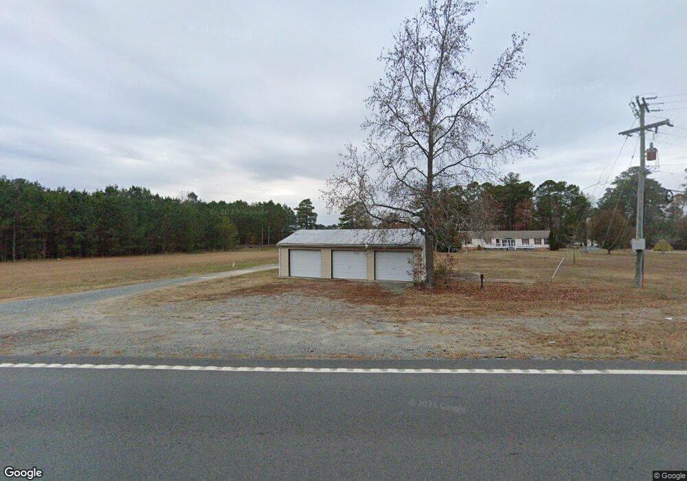
2181 Greys Point Rd Topping, VA 23169
Estimated Value: $311,000 - $442,131
3
Beds
2
Baths
2,004
Sq Ft
$188/Sq Ft
Est. Value
About This Home
This home is located at 2181 Greys Point Rd, Topping, VA 23169 and is currently estimated at $377,033, approximately $188 per square foot. 2181 Greys Point Rd is a home located in Middlesex County with nearby schools including Middlesex Elementary School, St. Clare Walker Middle School, and Middlesex High School.
Ownership History
Date
Name
Owned For
Owner Type
Purchase Details
Closed on
Oct 26, 2017
Sold by
M & M Group Of Middlesex Llc A Virginia
Bought by
Payne Woods C and Payne Amy Dawn
Current Estimated Value
Home Financials for this Owner
Home Financials are based on the most recent Mortgage that was taken out on this home.
Original Mortgage
$178,948
Outstanding Balance
$149,552
Interest Rate
3.75%
Mortgage Type
FHA
Estimated Equity
$227,481
Purchase Details
Closed on
Mar 8, 2017
Sold by
Hill Substitute Trustee Robert B and Glenn Bonita F
Bought by
M & M Group Of Middlesex Llc
Create a Home Valuation Report for This Property
The Home Valuation Report is an in-depth analysis detailing your home's value as well as a comparison with similar homes in the area
Home Values in the Area
Average Home Value in this Area
Purchase History
| Date | Buyer | Sale Price | Title Company |
|---|---|---|---|
| Payne Woods C | $182,250 | Attorney | |
| M & M Group Of Middlesex Llc | $69,200 | None Available |
Source: Public Records
Mortgage History
| Date | Status | Borrower | Loan Amount |
|---|---|---|---|
| Open | Payne Woods C | $178,948 |
Source: Public Records
Tax History Compared to Growth
Tax History
| Year | Tax Paid | Tax Assessment Tax Assessment Total Assessment is a certain percentage of the fair market value that is determined by local assessors to be the total taxable value of land and additions on the property. | Land | Improvement |
|---|---|---|---|---|
| 2025 | $1,064 | $174,400 | $61,800 | $112,600 |
| 2024 | $1,064 | $174,400 | $61,800 | $112,600 |
| 2023 | $1,064 | $174,400 | $61,800 | $112,600 |
| 2022 | $1,064 | $174,400 | $61,800 | $112,600 |
| 2021 | $819 | $132,100 | $57,300 | $74,800 |
| 2020 | $819 | $132,100 | $57,300 | $74,800 |
| 2019 | $819 | $132,100 | $57,300 | $74,800 |
| 2018 | $740 | $132,100 | $57,300 | $74,800 |
| 2017 | $740 | $132,100 | $57,300 | $74,800 |
| 2016 | $491 | $135,600 | $60,800 | $74,800 |
| 2015 | -- | $0 | $0 | $0 |
| 2014 | -- | $0 | $0 | $0 |
| 2013 | -- | $0 | $0 | $0 |
Source: Public Records
Map
Nearby Homes
- 32 Masons Cove Ln
- Lot 3 Hideaway Point Rd
- Lot 3 Blakes Cove
- 180 Mechams Cove Rd
- 00 Masons Cove Ln
- 170 Rappa Run Rd
- 810 Long Point Ln
- 113 Rappa Run Rd
- 1437 Locust Grove Rd
- 560 Eubank Landing Rd
- 422 Syringa Rd
- 367 Barricks Mill Rd
- 155 Pinetop Rd
- 115 Blue Barn Rd
- 71 Egret Point Dr
- 153 Hillcrest
- 278 Regent Rd
- 708 Queens Point Dr
- TBD Landing West Way
- 307 Highgate Dr
- 0 Meachims Cove Unit 2200511
- 0000 Meachims Cove
- 104 Hideaway Point Rd
- 57 Hideaway Point Rd
- 33 Hideaway Point Rd
- 50 Gatsby Ln
- 54 Hideaway Point Rd
- 2045 Greys Point Rd
- Lot 3 Meacham Cove Rd
- 23 AC Greys Point Dr
- 0 Middlesex St Unit 1815338
- 2.6ACR Dirt Bridge Rd
- 6.5ACR Dirt Bridge Rd
- 1+ ACR Regent Dr
- LOT40A General Puller Hwy
- 3+ACR Robinson Dr
- 00 Robinson Dr
- 0 Regent Dr Unit 30034363
- 0000 Meachim Cove Rd
- oooo Meachim Cove Rd