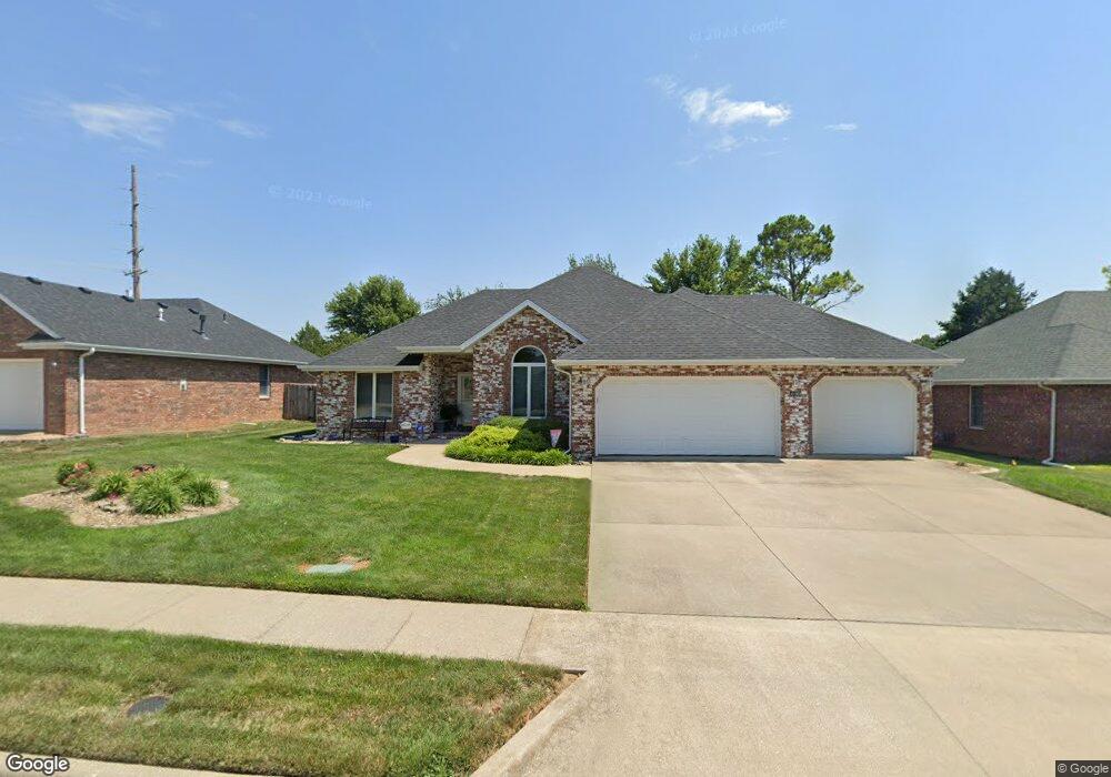
2182 W Vincent Ct Springfield, MO 65810
Southwest Springfield NeighborhoodEstimated Value: $303,559 - $347,000
3
Beds
2
Baths
1,676
Sq Ft
$193/Sq Ft
Est. Value
About This Home
This home is located at 2182 W Vincent Ct, Springfield, MO 65810 and is currently estimated at $323,640, approximately $193 per square foot. 2182 W Vincent Ct is a home located in Greene County with nearby schools including David Harrison Elementary School, Wilson's Creek Intermediate School, and Cherokee Middle School.
Ownership History
Date
Name
Owned For
Owner Type
Purchase Details
Closed on
Oct 23, 2008
Sold by
England David and England Betty
Bought by
Waynick Dianna K
Current Estimated Value
Home Financials for this Owner
Home Financials are based on the most recent Mortgage that was taken out on this home.
Original Mortgage
$148,720
Outstanding Balance
$96,831
Interest Rate
6%
Mortgage Type
Future Advance Clause Open End Mortgage
Estimated Equity
$226,809
Purchase Details
Closed on
Jun 22, 2007
Sold by
Baxley Susan F and Taube Daniel
Bought by
England David and England Betty
Home Financials for this Owner
Home Financials are based on the most recent Mortgage that was taken out on this home.
Original Mortgage
$137,000
Interest Rate
5.89%
Mortgage Type
New Conventional
Purchase Details
Closed on
Dec 2, 2005
Sold by
Gelner Brian R and Gelner Missy
Bought by
Baxley Susan F
Create a Home Valuation Report for This Property
The Home Valuation Report is an in-depth analysis detailing your home's value as well as a comparison with similar homes in the area
Home Values in the Area
Average Home Value in this Area
Purchase History
| Date | Buyer | Sale Price | Title Company |
|---|---|---|---|
| Waynick Dianna K | -- | None Available | |
| England David | -- | Fidelity Title Agency | |
| Baxley Susan F | -- | Fidelity Title Agency |
Source: Public Records
Mortgage History
| Date | Status | Borrower | Loan Amount |
|---|---|---|---|
| Open | Waynick Dianna K | $148,720 | |
| Previous Owner | England David | $137,000 |
Source: Public Records
Tax History
| Year | Tax Paid | Tax Assessment Tax Assessment Total Assessment is a certain percentage of the fair market value that is determined by local assessors to be the total taxable value of land and additions on the property. | Land | Improvement |
|---|---|---|---|---|
| 2025 | $2,121 | $43,740 | $7,110 | $36,630 |
| 2024 | $2,121 | $38,300 | $6,460 | $31,840 |
| 2023 | $2,110 | $38,300 | $6,460 | $31,840 |
| 2022 | $1,598 | $29,740 | $6,460 | $23,280 |
| 2021 | $1,598 | $29,740 | $6,460 | $23,280 |
| 2020 | $1,633 | $28,820 | $6,460 | $22,360 |
| 2019 | $1,586 | $28,820 | $6,460 | $22,360 |
| 2018 | $1,527 | $27,680 | $6,460 | $21,220 |
| 2017 | $1,512 | $27,150 | $6,460 | $20,690 |
| 2016 | $1,484 | $27,150 | $6,460 | $20,690 |
| 2015 | $1,472 | $27,150 | $6,460 | $20,690 |
| 2014 | $1,436 | $26,280 | $6,460 | $19,820 |
Source: Public Records
Map
Nearby Homes
- 4566 S Park Ave
- 2177 W Glen Gary Ct
- 2175 W Glen Gary Ct
- 4622 S West Ave
- 4715 S Elizabeth Ave
- 2555 W Sexton Dr
- 2596 W Buena Vista St
- 2240 W Alta St
- 2047 W Blakey St
- 1920 W Murray Dr
- 1658 W Caleb Ct
- 2021 W Kingsley St
- 2680 W Williamsburg St
- 5021 S Farm Rd 137
- 3021 W Allen Dr
- 3032 W Allen Dr
- 2852 W Republic Rd
- 1916 W Woodhaven St Unit Lot 39
- 1922 W Woodhaven St Unit Lot 42
- 1924 W Woodhaven St Unit Lot 43
- 2214 W Vincent Ct
- 2160 W Vincent Ct
- 4552 S Park Ave
- 2189 W Vincent St
- 2189 W Vincent Ct
- 2217 W Vincent Ct
- 2173 W Vincent Ct
- 4569 S Shady Lane Ct
- 4533 S Park Ave
- 4557 S Shady Lane Ct
- 4545 S Park Ave
- 4519 S Park Ave
- 2155 W Vincent Ct
- 4593 S Shady Lane Ct
- 4511 S Park Ave
- 4557 S Park Ave
- 4574 S Park Ave
- 4498 S Park Ave
- 2146 W Village Terrace
- 4533 S Shady Lane Ct