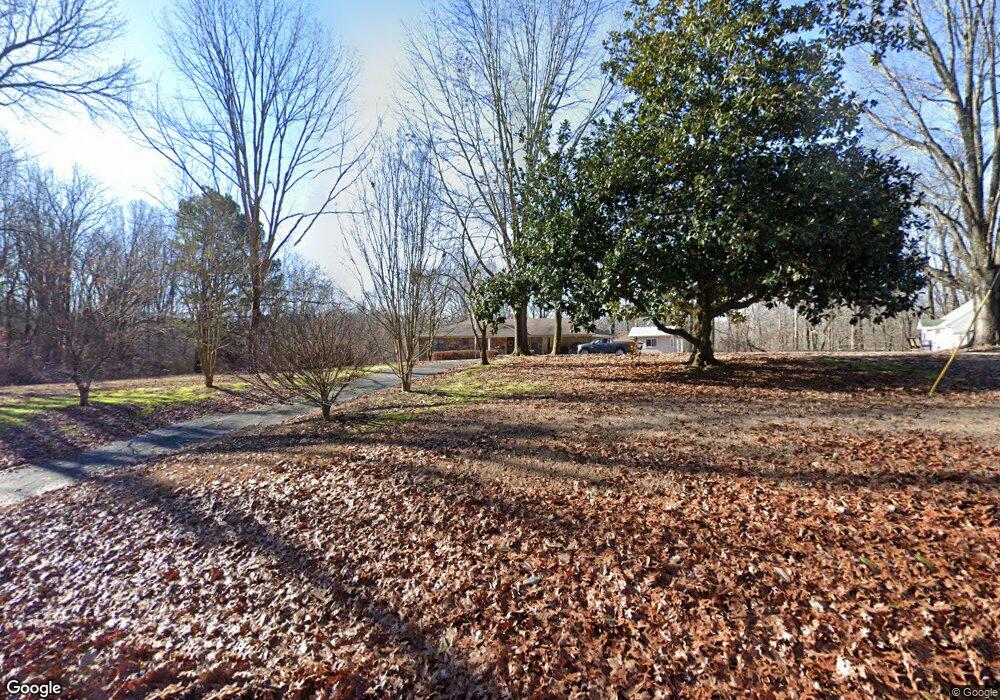
2183 St Paul Rd Unincorporated, TN 38053
Estimated Value: $288,000 - $393,000
3
Beds
2
Baths
2,362
Sq Ft
$145/Sq Ft
Est. Value
About This Home
This home is located at 2183 St Paul Rd, Unincorporated, TN 38053 and is currently estimated at $343,537, approximately $145 per square foot. 2183 St Paul Rd is a home located in Shelby County with nearby schools including E.E. Jeter Elementary School and Trezevant High School.
Ownership History
Date
Name
Owned For
Owner Type
Purchase Details
Closed on
Jun 24, 2010
Sold by
Doty Jimmy and Martin Suzanne
Bought by
Woofter Cheryl and Woofter Daniel
Current Estimated Value
Home Financials for this Owner
Home Financials are based on the most recent Mortgage that was taken out on this home.
Original Mortgage
$152,000
Outstanding Balance
$100,866
Interest Rate
4.77%
Mortgage Type
New Conventional
Estimated Equity
$242,671
Create a Home Valuation Report for This Property
The Home Valuation Report is an in-depth analysis detailing your home's value as well as a comparison with similar homes in the area
Home Values in the Area
Average Home Value in this Area
Purchase History
| Date | Buyer | Sale Price | Title Company |
|---|---|---|---|
| Woofter Cheryl | $164,900 | None Available |
Source: Public Records
Mortgage History
| Date | Status | Borrower | Loan Amount |
|---|---|---|---|
| Open | Woofter Cheryl | $152,000 |
Source: Public Records
Tax History Compared to Growth
Tax History
| Year | Tax Paid | Tax Assessment Tax Assessment Total Assessment is a certain percentage of the fair market value that is determined by local assessors to be the total taxable value of land and additions on the property. | Land | Improvement |
|---|---|---|---|---|
| 2025 | $1,855 | $77,075 | $8,525 | $68,550 |
| 2024 | $1,855 | $54,725 | $7,500 | $47,225 |
| 2023 | $1,855 | $54,725 | $7,500 | $47,225 |
| 2022 | $1,855 | $54,725 | $7,500 | $47,225 |
| 2021 | $1,888 | $54,725 | $7,500 | $47,225 |
| 2020 | $1,547 | $38,200 | $6,800 | $31,400 |
| 2019 | $1,547 | $38,200 | $6,800 | $31,400 |
| 2018 | $1,547 | $38,200 | $6,800 | $31,400 |
| 2017 | $1,570 | $38,200 | $6,800 | $31,400 |
| 2016 | $1,568 | $35,875 | $0 | $0 |
| 2014 | $1,568 | $35,875 | $0 | $0 |
Source: Public Records
Map
Nearby Homes
- 1932 Saint Paul Rd
- 8925 Herring Hill Rd
- 0 St Paul Rd Unit 10199051
- 2355 Cuba Millington Rd
- 9430 Monasco Rd
- 2078 Russell Bond Rd
- 8370 Rankin Branch Rd
- 8292 Rankin Branch Rd
- 9590 Monasco Rd
- 0 Monasco Rd Unit RTC2990463
- 0 Herring Hill Rd
- 7790 Deer Lake Dr
- 1296 Monasco Rd
- 9640 New Bethel Rd
- 3300 Cuba Millington Rd
- 7550 Woodstock Cuba Rd
- 8205 Shakerag Rd
- TRACT 9 Powder Plant Dr
- 7441 Walsh Rd
- 119 Nancy Dr
- 2183 Saint Paul Rd
- 2155 Saint Paul Rd
- 2129 Saint Paul Rd
- 2160 Saint Paul Rd
- 2065 Saint Paul Rd
- 2233 Saint Paul Rd
- 2184 Saint Paul Rd
- 2041 Saint Paul Rd
- 2242 Saint Paul Rd
- 2156 Tompkins Ln
- 2134 Tompkins Ln
- 2253 Saint Paul Rd
- 1979 Saint Paul Rd
- 2094 Tompkins Ln
- 2270 Saint Paul Rd
- 2290 Saint Paul Rd
- 2290 St Paul Rd
- 2114 Tompkins Ln
- 2066 Tompkins Ln
- 2027 St Paul Rd