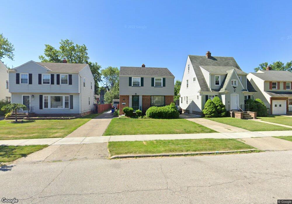
21830 Kennison Ave Euclid, OH 44123
Estimated Value: $142,803 - $169,000
About This Home
This home is located at 21830 Kennison Ave, Euclid, OH 44123 and is currently estimated at $156,951, approximately $128 per square foot. 21830 Kennison Ave is a home located in Cuyahoga County with nearby schools including Arbor Elementary School, Euclid Middle School, and Euclid High School.
Ownership History
We collect this data history from publicly available records. To have your information removed, we recommend requesting removal directly through your county’s website.
Purchase Details
Purchase Details
Home Financials for this Owner
Home Financials are based on the most recent Mortgage that was taken out on this home.Purchase Details
Purchase Details
Home Values in the Area
Average Home Value in this Area
Purchase History
We collect this data history from publicly available records. To have your information removed, we recommend requesting removal directly through your county’s website.
| Date | Buyer | Sale Price | Title Company |
|---|---|---|---|
| $81,180 | None Available | ||
| $84,500 | Midland Title Security Inc | ||
| $59,000 | -- | ||
| -- | -- |
Mortgage History
We collect this data history from publicly available records. To have your information removed, we recommend requesting removal directly through your county’s website.
| Date | Status | Borrower | Loan Amount |
|---|---|---|---|
| Previous Owner | $76,000 |
Tax History
We collect this data history from publicly available records. To have your information removed, we recommend requesting removal directly through your county’s website.
| Year | Tax Paid | Tax Assessment Tax Assessment Total Assessment is a certain percentage of the fair market value that is determined by local assessors to be the total taxable value of land and additions on the property. | Land | Improvement |
|---|---|---|---|---|
| 2025 | $3,113 | $46,690 | $9,450 | $37,240 |
| 2024 | $3,212 | $46,690 | $9,450 | $37,240 |
| 2023 | $2,817 | $31,920 | $6,790 | $25,130 |
| 2022 | $2,668 | $31,470 | $6,790 | $24,680 |
| 2021 | $2,974 | $31,470 | $6,790 | $24,680 |
| 2020 | $3,019 | $29,160 | $6,300 | $22,860 |
| 2019 | $2,715 | $83,300 | $18,000 | $65,300 |
| 2018 | $2,698 | $29,160 | $6,300 | $22,860 |
| 2017 | $2,879 | $25,590 | $5,250 | $20,340 |
| 2016 | $2,885 | $25,590 | $5,250 | $20,340 |
| 2015 | $2,626 | $25,590 | $5,250 | $20,340 |
| 2014 | $2,626 | $25,590 | $5,250 | $20,340 |
Map
- 414 E 222nd St
- 21790 Kennison Ave
- 21731 Maydale Ave
- 421 Kenwood Dr Unit G
- 422 Clearview Dr Unit J10
- 22651 Fox Ave Unit I
- 336 E 222nd St
- 461 Kenwood Dr Unit T3
- 22751 Fox Ave
- 442 Clearview Dr Unit U9
- 490 Kenwood Dr Unit J
- 367 E 211th St
- 230 E 211th St
- 275 E 210th St
- 21351 Crystal Ave
- 350 E 210th St
- 21570 Priday Ave
- 145 E 211th St
- 170 E 220th St
- 21270 Priday Ave
- 21950 Kennison Ave
- 22030 Kennison Ave
- 21900 Kennison Ave
- 21850 Kennison Ave
- 22021 Roberts Ave
- 22051 Roberts Ave
- 21991 Roberts Ave
- 21961 Roberts Ave
- 22081 Roberts Ave
- 404 E 222nd St
- 400 E 222nd St
- 410 E 222nd St
- 21931 Roberts Ave
- 414 E 222nd St Unit 1/DN
- 414 E 222nd St Unit 2
- 22001 Kennison Ave
- 22031 Kennison Ave
- 21951 Kennison Ave
- 414/416 E 222nd St
- 21800 Kennison Ave
Ask me questions while you tour the home.