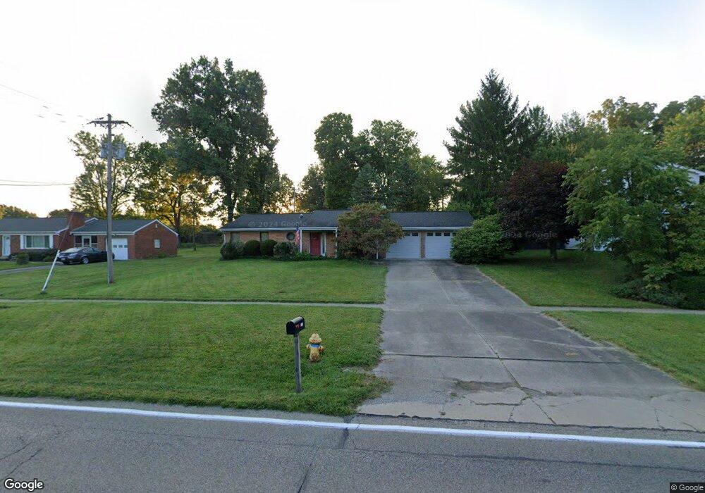
2184 8 Mile Rd Cincinnati, OH 45244
Dry Run NeighborhoodEstimated Value: $292,139 - $305,000
3
Beds
2
Baths
1,474
Sq Ft
$203/Sq Ft
Est. Value
About This Home
This home is located at 2184 8 Mile Rd, Cincinnati, OH 45244 and is currently estimated at $299,785, approximately $203 per square foot. 2184 8 Mile Rd is a home located in Hamilton County with nearby schools including Summit Elementary School, Nagel Middle School, and Anderson High School.
Ownership History
Date
Name
Owned For
Owner Type
Purchase Details
Closed on
Jun 26, 2007
Sold by
Ross Margaret M
Bought by
Muenzenmayer David A
Current Estimated Value
Home Financials for this Owner
Home Financials are based on the most recent Mortgage that was taken out on this home.
Original Mortgage
$152,000
Interest Rate
6.37%
Mortgage Type
Unknown
Purchase Details
Closed on
Sep 9, 2005
Sold by
Hardy Russell A and Hardy Lois J
Bought by
Ross Margaret M
Home Financials for this Owner
Home Financials are based on the most recent Mortgage that was taken out on this home.
Original Mortgage
$119,750
Interest Rate
6.01%
Mortgage Type
Fannie Mae Freddie Mac
Create a Home Valuation Report for This Property
The Home Valuation Report is an in-depth analysis detailing your home's value as well as a comparison with similar homes in the area
Home Values in the Area
Average Home Value in this Area
Purchase History
| Date | Buyer | Sale Price | Title Company |
|---|---|---|---|
| Muenzenmayer David A | $152,000 | Advanced Land Title Agency | |
| Ross Margaret M | -- | None Available |
Source: Public Records
Mortgage History
| Date | Status | Borrower | Loan Amount |
|---|---|---|---|
| Open | Muenzenmayer David A | $152,000 | |
| Previous Owner | Ross Margaret M | $119,750 |
Source: Public Records
Tax History Compared to Growth
Tax History
| Year | Tax Paid | Tax Assessment Tax Assessment Total Assessment is a certain percentage of the fair market value that is determined by local assessors to be the total taxable value of land and additions on the property. | Land | Improvement |
|---|---|---|---|---|
| 2024 | $4,385 | $72,080 | $14,795 | $57,285 |
| 2023 | $4,172 | $72,080 | $14,795 | $57,285 |
| 2022 | $3,526 | $54,212 | $12,677 | $41,535 |
| 2021 | $3,442 | $54,212 | $12,677 | $41,535 |
| 2020 | $3,482 | $54,212 | $12,677 | $41,535 |
| 2019 | $3,307 | $46,732 | $10,927 | $35,805 |
| 2018 | $3,098 | $46,732 | $10,927 | $35,805 |
| 2017 | $2,923 | $46,732 | $10,927 | $35,805 |
| 2016 | $3,111 | $48,626 | $11,802 | $36,824 |
| 2015 | $3,021 | $48,626 | $11,802 | $36,824 |
| 2014 | $3,023 | $48,626 | $11,802 | $36,824 |
| 2013 | $2,649 | $45,024 | $10,927 | $34,097 |
Source: Public Records
Map
Nearby Homes
- 8410 Kilkenny Dr
- 2197 8 Mile Rd
- 2161 Knightsbridge Dr
- 2109 Berrypatch Dr
- 8069 Ashgrove Dr
- 2051 Tall Pines Ln
- 1962 Wanninger Ln
- 7660 Clough Pike
- 7652 Clough Pike
- 2193 Forestlake Dr
- L Clough Pike
- 8032 Lancelot Dr
- 2083 Forestcrest Way
- 1728 Rockhurst Ln
- 4383 Wiborg Dr
- 8486 Bethany Ln
- 1797 Muskegon Dr
- 2547 Teuton Ct
- 463 Auxier Dr
- 4417 Wiborg Dr
- 2174 8 Mile Rd
- 2174 8 Mile Rd
- 2194 8 Mile Rd
- 2135 Butlersbridge Ct
- 2129 Butlersbridge Ct
- 2166 8 Mile Rd
- 2183 8 Mile Rd
- 2123 Butlersbridge Ct
- 2154 8 Mile Rd
- 2154 8 Mile Rd
- 2171 8 Mile Rd
- 2140 Butlersbridge Ct
- 2117 Butlersbridge Ct
- 2148 8 Mile Rd
- 2111 Butlersbridge Ct
- 2128 Butlersbridge Ct
- 2134 Butlersbridge Ct
- 2122 Butlersbridge Ct
- 2136 8 Mile Rd
- 2116 Butlersbridge Ct