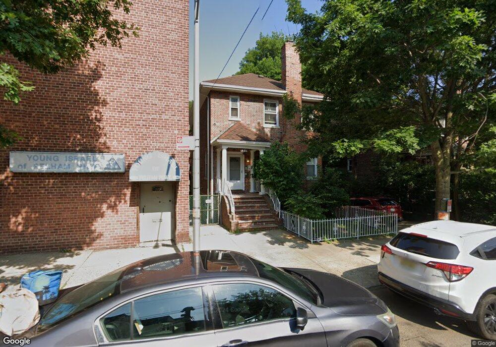
2184 Muliner Ave Unit 2 Bronx, NY 10462
Pelham Parkway NeighborhoodEstimated Value: $1,176,000 - $1,340,580
1
Bed
1
Bath
3,135
Sq Ft
$397/Sq Ft
Est. Value
About This Home
This home is located at 2184 Muliner Ave Unit 2, Bronx, NY 10462 and is currently estimated at $1,243,895, approximately $396 per square foot. 2184 Muliner Ave Unit 2 is a home located in Bronx County with nearby schools including Pelham Academy, Bronx Green Middle School, and St. Clare of Assisi School.
Ownership History
Date
Name
Owned For
Owner Type
Purchase Details
Closed on
Nov 21, 2024
Sold by
Rozman Zahava
Bought by
2184 Muliner Llc
Current Estimated Value
Purchase Details
Closed on
Jan 5, 2001
Sold by
Rozman Morris
Bought by
Rozman Zahava
Purchase Details
Closed on
Dec 1, 1998
Sold by
Rozman Morris and Rozman Regina
Bought by
Rozman Morris
Create a Home Valuation Report for This Property
The Home Valuation Report is an in-depth analysis detailing your home's value as well as a comparison with similar homes in the area
Home Values in the Area
Average Home Value in this Area
Purchase History
| Date | Buyer | Sale Price | Title Company |
|---|---|---|---|
| 2184 Muliner Llc | $1,250,000 | -- | |
| Rozman Zahava | -- | -- | |
| Rozman Zahava | -- | -- | |
| Rozman Morris | $120,000 | Commonwealth Land Title Ins | |
| Rozman Morris | -- | Commonwealth Land Title Ins |
Source: Public Records
Tax History
| Year | Tax Paid | Tax Assessment Tax Assessment Total Assessment is a certain percentage of the fair market value that is determined by local assessors to be the total taxable value of land and additions on the property. | Land | Improvement |
|---|---|---|---|---|
| 2025 | $10,412 | $51,840 | $16,142 | $35,698 |
| 2024 | $10,412 | $51,840 | $16,142 | $35,698 |
| 2023 | $10,107 | $49,766 | $15,195 | $34,571 |
| 2022 | $9,690 | $49,200 | $17,880 | $31,320 |
| 2021 | $9,637 | $51,540 | $17,880 | $33,660 |
| 2020 | $9,144 | $43,740 | $17,880 | $25,860 |
| 2019 | $9,037 | $43,740 | $17,880 | $25,860 |
| 2018 | $7,795 | $41,472 | $14,488 | $26,984 |
| 2017 | $7,600 | $40,449 | $17,049 | $23,400 |
| 2016 | $7,008 | $38,160 | $17,576 | $20,584 |
| 2015 | $4,280 | $36,000 | $14,880 | $21,120 |
| 2014 | $4,280 | $36,000 | $14,880 | $21,120 |
Source: Public Records
Map
Nearby Homes
- 2165 Mathews Ave Unit 5H
- 2165 Matthews Ave Unit 4A
- 2165 Matthews Ave Unit 4F
- 2165 Matthews Ave Unit 4B
- 2129 Muliner Ave
- 2118 Bogart Ave
- - Lydig Ave
- 2116 Bogart Ave
- 2080 Matthews Ave
- 2154 Haight Ave
- 2199 Holland Ave Unit 3E
- 2199 Holland Ave Unit 4D
- 2187 Holland Ave Unit 4G
- 2080 Barnes Ave Unit 5B
- 2080 Barnes Ave Unit 4A
- 2080 Barnes Ave Unit 4C
- 2080 Barnes Ave Unit 4-E
- 2080 Barnes Ave Unit 3B
- 2080 Barnes Ave Unit 3H
- 2080 Barnes Ave Unit 6F
- 2184 Muliner Ave
- 2184 Muliner Ave Unit 1
- 2180 Muliner Ave
- 2178 Muliner Ave
- 912 Pelham Pkwy S
- 914 Pelham Pkwy S
- 2183 Bogart Ave
- 2183 Bogart Ave Unit 2183 Bog
- 910 Pelham Pkwy S
- 2181 Bogart Ave
- 900 Pelham Pkwy S
- 2176 Muliner Ave
- 916 Pelham Pkwy S
- 2179 Bogart Ave
- 2195 Muliner Ave
- 2185 Muliner Ave
- 2174 Muliner Ave
- 918 Pelham Pkwy S
- 2181 Muliner Ave
- 2173 Bogart Ave
Your Personal Tour Guide
Ask me questions while you tour the home.