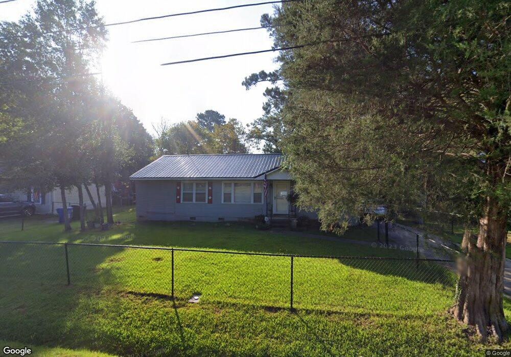
2184 Snellings Dr Columbus, GA 31907
Eastern Columbus NeighborhoodEstimated Value: $85,000 - $131,000
2
Beds
2
Baths
1,289
Sq Ft
$89/Sq Ft
Est. Value
About This Home
This home is located at 2184 Snellings Dr, Columbus, GA 31907 and is currently estimated at $114,924, approximately $89 per square foot. 2184 Snellings Dr is a home located in Muscogee County with nearby schools including Brewer Elementary School, Richards Middle School, and Hardaway High School.
Ownership History
Date
Name
Owned For
Owner Type
Purchase Details
Closed on
Jul 5, 2019
Sold by
Dasinger Robert Steven
Bought by
Dasinger Susan and Dasinger Robert Steven
Current Estimated Value
Home Financials for this Owner
Home Financials are based on the most recent Mortgage that was taken out on this home.
Original Mortgage
$48,900
Outstanding Balance
$42,841
Interest Rate
3.82%
Mortgage Type
New Conventional
Estimated Equity
$72,083
Create a Home Valuation Report for This Property
The Home Valuation Report is an in-depth analysis detailing your home's value as well as a comparison with similar homes in the area
Home Values in the Area
Average Home Value in this Area
Purchase History
| Date | Buyer | Sale Price | Title Company |
|---|---|---|---|
| Dasinger Susan | -- | -- |
Source: Public Records
Mortgage History
| Date | Status | Borrower | Loan Amount |
|---|---|---|---|
| Open | Dasinger Susan | $48,900 |
Source: Public Records
Tax History Compared to Growth
Tax History
| Year | Tax Paid | Tax Assessment Tax Assessment Total Assessment is a certain percentage of the fair market value that is determined by local assessors to be the total taxable value of land and additions on the property. | Land | Improvement |
|---|---|---|---|---|
| 2025 | $77 | $37,856 | $10,684 | $27,172 |
| 2024 | $76 | $37,856 | $10,684 | $27,172 |
| 2023 | $13 | $37,856 | $10,684 | $27,172 |
| 2022 | $79 | $29,288 | $8,024 | $21,264 |
| 2021 | $72 | $25,024 | $8,024 | $17,000 |
| 2020 | $72 | $25,356 | $8,024 | $17,332 |
| 2019 | $74 | $25,356 | $8,024 | $17,332 |
| 2018 | $74 | $25,356 | $8,024 | $17,332 |
| 2017 | $76 | $25,356 | $8,024 | $17,332 |
| 2016 | $78 | $15,153 | $3,036 | $12,117 |
| 2015 | $78 | $15,153 | $3,036 | $12,117 |
| 2014 | $79 | $15,153 | $3,036 | $12,117 |
| 2013 | -- | $15,153 | $3,036 | $12,117 |
Source: Public Records
Map
Nearby Homes
- 2622 Natchez Dr
- 2246 Danbury Dr
- 4332 Fay Dr
- 2661 Fernwood Ave
- 2520 Harwich Cir
- 5225 Orange Dr
- 2307 Skylake Dr
- 911 Lamore St
- 4312 Old MacOn Rd Unit 6
- 4785 Gardiner Dr
- 4503 Melborne Dr
- 5759 Forrest Rd
- 2249 Mahan Dr
- 4268 Yates Dr
- 4642 Wellborn Dr
- 4237 Fort St
- 2505 White Chapel Dr
- 4248 Yates Dr
- 1618 Edgechester Ave
- 2501 White Chapel Dr
- 2178 Snellings Dr
- 2190 Snellings Dr
- 2172 Snellings Dr
- 4602 Forrest Rd
- 4552 Forrest Rd
- 4542 Forrest Rd
- 4610 Forrest Rd
- 2166 Snellings Dr
- 2173 Snellings Dr
- 4518 Forrest Rd
- 4618 Forrest Rd
- 2160 Snellings Dr
- 2159 Snellings Dr
- 2177 Lamore Dr
- 2175 Lamore Dr
- 2179 Lamore Dr
- 2183 Lamore Dr
- 2171 Lamore Dr
- 4506 Forrest Rd
- 2605 Tupelo Dr