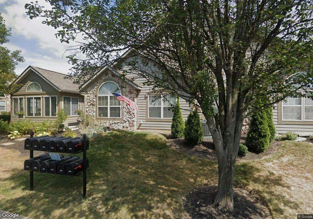
2184 William T Cir Lancaster, OH 43130
Estimated Value: $304,471 - $345,000
3
Beds
2
Baths
1,712
Sq Ft
$188/Sq Ft
Est. Value
About This Home
This home is located at 2184 William T Cir, Lancaster, OH 43130 and is currently estimated at $322,368, approximately $188 per square foot. 2184 William T Cir is a home located in Fairfield County with nearby schools including Medill Elementary School, Thomas Ewing Junior High School, and Lancaster High School.
Ownership History
Date
Name
Owned For
Owner Type
Purchase Details
Closed on
Mar 16, 2016
Sold by
Figgins Roger D and Figgins Anne E
Bought by
Ramsey Kenneth J and Ramsey Arlene R
Current Estimated Value
Home Financials for this Owner
Home Financials are based on the most recent Mortgage that was taken out on this home.
Original Mortgage
$167,250
Interest Rate
3.65%
Mortgage Type
New Conventional
Purchase Details
Closed on
Jun 21, 2004
Sold by
Dovel Ltd
Bought by
Reside Roger D and Reside Anne E Figgins Personal
Home Financials for this Owner
Home Financials are based on the most recent Mortgage that was taken out on this home.
Original Mortgage
$160,600
Interest Rate
5.25%
Mortgage Type
Purchase Money Mortgage
Create a Home Valuation Report for This Property
The Home Valuation Report is an in-depth analysis detailing your home's value as well as a comparison with similar homes in the area
Home Values in the Area
Average Home Value in this Area
Purchase History
| Date | Buyer | Sale Price | Title Company |
|---|---|---|---|
| Ramsey Kenneth J | $165,000 | None Available | |
| Reside Roger D | $177,900 | Hocking Valley Title Agency |
Source: Public Records
Mortgage History
| Date | Status | Borrower | Loan Amount |
|---|---|---|---|
| Closed | Ramsey Kenneth J | $167,250 | |
| Previous Owner | Reside Roger D | $160,600 |
Source: Public Records
Tax History
| Year | Tax Paid | Tax Assessment Tax Assessment Total Assessment is a certain percentage of the fair market value that is determined by local assessors to be the total taxable value of land and additions on the property. | Land | Improvement |
|---|---|---|---|---|
| 2025 | $6,858 | $87,510 | $17,500 | $70,010 |
| 2024 | $6,858 | $76,280 | $11,760 | $64,520 |
| 2023 | $2,441 | $76,280 | $11,760 | $64,520 |
| 2022 | $2,466 | $76,280 | $11,760 | $64,520 |
| 2021 | $1,955 | $58,910 | $11,760 | $47,150 |
| 2020 | $627 | $58,910 | $11,760 | $47,150 |
| 2019 | $1,781 | $58,910 | $11,760 | $47,150 |
| 2018 | $549 | $51,880 | $11,760 | $40,120 |
| 2017 | $1,940 | $51,880 | $11,760 | $40,120 |
| 2016 | $1,890 | $51,880 | $11,760 | $40,120 |
| 2015 | $1,880 | $50,090 | $11,760 | $38,330 |
| 2014 | $1,791 | $50,090 | $11,760 | $38,330 |
| 2013 | $1,791 | $50,090 | $11,760 | $38,330 |
Source: Public Records
Map
Nearby Homes
- 2135 William T Cir
- 1916 Country Place
- 245 Rainbow Dr NE
- 0 Stringtown Rd NW
- 1189 Ridge Rd NE
- 0 Old Millersport Rd NE Unit 225010386
- 1760 Rainbow Dr NE
- 0 Tschopp Rd NE Unit Lot 17 225027320
- 0 Tschopp Rd NE Unit Lot 33 225027324
- 0 Tiki Ln
- 245 Overlook Dr NE
- 1804 Pleasantville Rd
- 0 Lucille Dr NE
- 17 Red Bud Ln
- 1306 Shumaker Ave
- 1434 Pleasantville Rd
- 1285 Huffer Ave
- 181 Marks Ave
- 0 Wacker Dr Unit 225036189
- 1836 Glenmar Dr
- 2182 William T Cir
- 2188 William T Cir
- 2186 William T Cir
- 2172 William T Cir
- 2176 William T Cir
- 2183 William T Cir
- 2174 William T Cir
- 2181 William T Cir
- 2194 William T Cir
- 2178 William T Cir
- 2193 William T Cir
- 2171 William T Cir
- 2192 William T Cir
- 2187 William T Cir
- 2191 William T Cir
- 2173 William T Cir
- 2185 William T Cir
- 2196 William T Cir Unit 11219
- 2197 William T Cir
- 2175 William T Cir
Your Personal Tour Guide
Ask me questions while you tour the home.