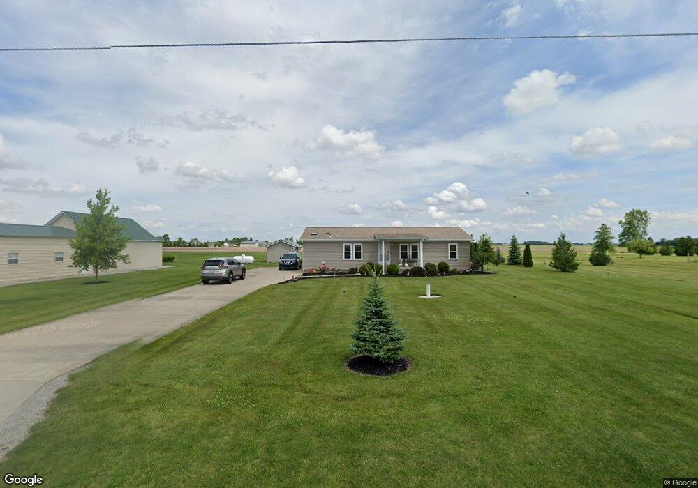
21840 Mermill Rd Custar, OH 43511
Estimated Value: $149,000 - $252,000
3
Beds
2
Baths
1,296
Sq Ft
$149/Sq Ft
Est. Value
About This Home
This home is located at 21840 Mermill Rd, Custar, OH 43511 and is currently estimated at $193,558, approximately $149 per square foot. 21840 Mermill Rd is a home located in Wood County with nearby schools including Bowling Green High School.
Ownership History
Date
Name
Owned For
Owner Type
Purchase Details
Closed on
Feb 4, 2011
Sold by
Secretary Of Housing & Urban Development
Bought by
Wagner Eric S and Wagner Shelly L
Current Estimated Value
Purchase Details
Closed on
Jun 7, 2010
Sold by
West Aaron J and West Stephanie L
Bought by
The Secretary Of Housing & Urban Develop
Purchase Details
Closed on
Oct 9, 2003
Sold by
Aurand William Michael and Aurand Diane L
Bought by
West Aaron J and West Stephanie L
Home Financials for this Owner
Home Financials are based on the most recent Mortgage that was taken out on this home.
Original Mortgage
$108,404
Interest Rate
6.43%
Mortgage Type
Construction
Create a Home Valuation Report for This Property
The Home Valuation Report is an in-depth analysis detailing your home's value as well as a comparison with similar homes in the area
Purchase History
| Date | Buyer | Sale Price | Title Company |
|---|---|---|---|
| Wagner Eric S | $25,500 | Attorney | |
| The Secretary Of Housing & Urban Develop | -- | Attorney | |
| West Aaron J | $18,000 | Agg Title |
Source: Public Records
Mortgage History
| Date | Status | Borrower | Loan Amount |
|---|---|---|---|
| Previous Owner | West Aaron J | $108,404 |
Source: Public Records
Tax History
| Year | Tax Paid | Tax Assessment Tax Assessment Total Assessment is a certain percentage of the fair market value that is determined by local assessors to be the total taxable value of land and additions on the property. | Land | Improvement |
|---|---|---|---|---|
| 2025 | $2,164 | $51,625 | $11,165 | $40,460 |
| 2024 | $2,148 | $51,625 | $11,165 | $40,460 |
| 2023 | $2,148 | $51,630 | $11,170 | $40,460 |
| 2021 | $1,566 | $36,650 | $9,280 | $27,370 |
| 2020 | $1,569 | $36,650 | $9,280 | $27,370 |
| 2019 | $1,379 | $31,330 | $8,720 | $22,610 |
| 2018 | $1,372 | $31,330 | $8,720 | $22,610 |
| 2017 | $1,355 | $31,330 | $8,720 | $22,610 |
| 2016 | $1,246 | $28,810 | $6,970 | $21,840 |
| 2015 | $1,246 | $28,810 | $6,970 | $21,840 |
| 2014 | $1,309 | $28,810 | $6,970 | $21,840 |
| 2013 | $1,421 | $28,080 | $6,970 | $21,110 |
Source: Public Records
Map
Nearby Homes
- 22759 Defiance Pike
- 21490 Portage Rd
- 20175 Taylor St
- 20280 Locust St
- 13439 Ash St
- 22487 U S 6
- 0 Sand Ridge Rd Unit 10004038
- 24642 Hammansburg Rd Unit 309-0700
- 17884 Euler Rd
- 0 Hockenberry Rd Unit 10
- 117 Meadow Ln
- 115 Meadow Ln
- 113 N Meadow Ln
- 116 Meadow Ln
- 119 N Harvest St
- 112 N Harvest Dr
- 121 N Harvest St
- 118 N Harvest Dr
- 120 N Harvest Dr
- 102 N Harvest Dr
- 21790 Mermill Rd
- 21890 Mermill Rd
- 21776 Mermill Rd
- 21951 Mermill Rd
- 0 Mermill at Milton
- 10085 Milton Rd
- 22140 Defiance St
- 22150 Mermill Rd
- 10260 Milton Rd
- 22182 Defiance St
- 22182 Mermill Rd
- 10196 East St
- 22190 Defiance St
- 10370 East St
- 10110 East St
- 10340 East St
- 0 Rail Road St Unit 4633687
- 10300 Milton Rd
- 10215 East St
- 22210 Defiance St
Your Personal Tour Guide
Ask me questions while you tour the home.