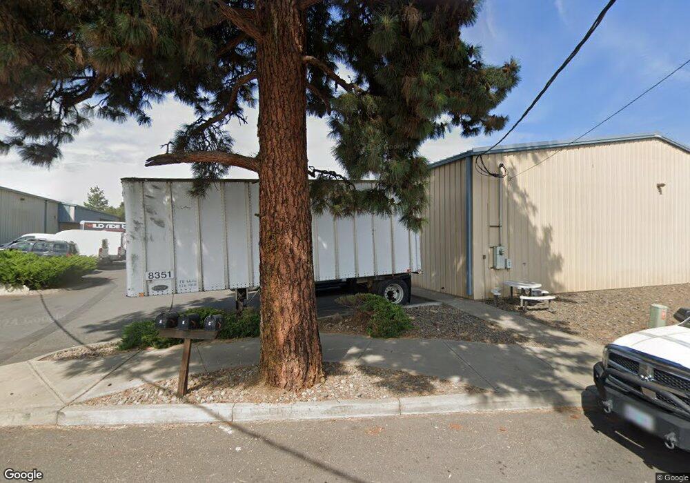
2185 NE 2nd St Unit BldgC Bend, OR 97701
Orchard District NeighborhoodEstimated Value: $1,896,432
--
Bed
--
Bath
6,754
Sq Ft
$281/Sq Ft
Est. Value
About This Home
This home is located at 2185 NE 2nd St Unit BldgC, Bend, OR 97701 and is currently estimated at $1,896,432, approximately $280 per square foot. 2185 NE 2nd St Unit BldgC is a home located in Deschutes County with nearby schools including Juniper Elementary School, Bend Senior High School, and Desert Sky Montessori.
Ownership History
Date
Name
Owned For
Owner Type
Purchase Details
Closed on
Nov 12, 2021
Sold by
Sproul & Sproul Inc
Bought by
Prd Re Venture 1 Llc
Current Estimated Value
Home Financials for this Owner
Home Financials are based on the most recent Mortgage that was taken out on this home.
Original Mortgage
$1,075,000
Outstanding Balance
$691,724
Interest Rate
2.99%
Mortgage Type
Commercial
Estimated Equity
$1,204,708
Create a Home Valuation Report for This Property
The Home Valuation Report is an in-depth analysis detailing your home's value as well as a comparison with similar homes in the area
Home Values in the Area
Average Home Value in this Area
Purchase History
| Date | Buyer | Sale Price | Title Company |
|---|---|---|---|
| Prd Re Venture 1 Llc | $1,775,000 | Western Title & Escrow |
Source: Public Records
Mortgage History
| Date | Status | Borrower | Loan Amount |
|---|---|---|---|
| Open | Prd Re Venture 1 Llc | $1,075,000 |
Source: Public Records
Tax History Compared to Growth
Tax History
| Year | Tax Paid | Tax Assessment Tax Assessment Total Assessment is a certain percentage of the fair market value that is determined by local assessors to be the total taxable value of land and additions on the property. | Land | Improvement |
|---|---|---|---|---|
| 2025 | $14,996 | $887,560 | -- | -- |
| 2024 | $14,428 | $861,710 | -- | -- |
| 2023 | $13,375 | $836,620 | $0 | $0 |
| 2022 | $12,478 | $788,610 | $0 | $0 |
| 2021 | $12,498 | $765,650 | $0 | $0 |
| 2020 | $11,856 | $765,650 | $0 | $0 |
| 2019 | $11,526 | $743,350 | $0 | $0 |
| 2018 | $11,201 | $721,700 | $0 | $0 |
| 2017 | $10,872 | $700,680 | $0 | $0 |
| 2016 | $10,368 | $680,280 | $0 | $0 |
| 2015 | $10,081 | $660,470 | $0 | $0 |
| 2014 | $9,779 | $641,240 | $0 | $0 |
Source: Public Records
Map
Nearby Homes
- 202 NW Thurston Ave
- 1975 NW Harriman St
- 2594 NW Rippling River Ct
- 642 NE Seward Ave
- 1565 NW Wall St Unit 124 - 125
- 1565 NW Wall St Unit 220/221
- 1565 NW Wall St Unit 306
- 1565 NW Wall St Unit 206
- 1565 NW Wall St Unit 154-155
- 233 NW Revere Ave
- 530 NE Majesty Ln
- 2582 NW 1st St
- 2408 NW Majestic Ridge Dr
- 2525 NW 1st St
- 3843 NE Petrosa Ave
- 2464 NW Majestic Ridge Dr
- 468 NE Olney Ave
- 748 NE Vail Ln
- 2440 NW 2nd St
- 2170 NE 8th St
- 0 NE 2nd St Unit A 201006015
- 154 NE Underwood Ave
- 2214 NE Division St Unit 103
- 2214 NE Division St Unit 101
- 2214 NE Division St Unit 202
- 2214 NE Division St
- 2214 NE Division St Unit 201
- 2248 NE Division St
- 157 NE Underwood Ave
- 2288 NE 2nd St
- 2139 NE 3rd St
- 1 NW Vail Ave
- 2270 NE Division St
- 2115 NE 3rd St
- 2221 NE 3rd St
- 48 NE Vail Ave
- 2205 NE Division St
- 0 NE Vail Ave Unit 1-4
- 2101 NE Division St
- 2245 NE Division St