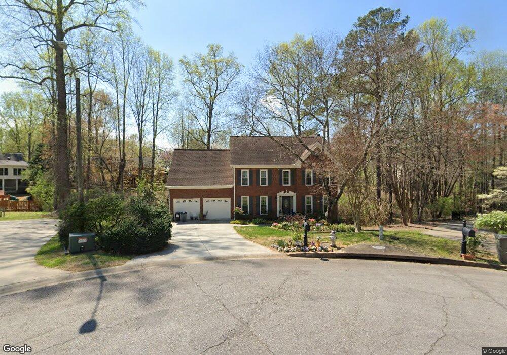
2187 Barwick Ct SW Unit 4 Marietta, GA 30064
West Cobb NeighborhoodEstimated Value: $506,000 - $546,000
4
Beds
3
Baths
2,753
Sq Ft
$189/Sq Ft
Est. Value
About This Home
This home is located at 2187 Barwick Ct SW Unit 4, Marietta, GA 30064 and is currently estimated at $521,176, approximately $189 per square foot. 2187 Barwick Ct SW Unit 4 is a home located in Cobb County with nearby schools including Cheatham Hill Elementary School, Lovinggood Middle School, and Hillgrove High School.
Ownership History
Date
Name
Owned For
Owner Type
Purchase Details
Closed on
Mar 5, 1999
Sold by
Mcbrayer John T and Mcbrayer Nadine D
Bought by
Valley Matt J and Valley Sandra G
Current Estimated Value
Home Financials for this Owner
Home Financials are based on the most recent Mortgage that was taken out on this home.
Original Mortgage
$155,200
Outstanding Balance
$36,735
Interest Rate
6.74%
Mortgage Type
New Conventional
Estimated Equity
$484,441
Create a Home Valuation Report for This Property
The Home Valuation Report is an in-depth analysis detailing your home's value as well as a comparison with similar homes in the area
Home Values in the Area
Average Home Value in this Area
Purchase History
| Date | Buyer | Sale Price | Title Company |
|---|---|---|---|
| Valley Matt J | $194,000 | -- |
Source: Public Records
Mortgage History
| Date | Status | Borrower | Loan Amount |
|---|---|---|---|
| Open | Valley Matt J | $155,200 |
Source: Public Records
Tax History Compared to Growth
Tax History
| Year | Tax Paid | Tax Assessment Tax Assessment Total Assessment is a certain percentage of the fair market value that is determined by local assessors to be the total taxable value of land and additions on the property. | Land | Improvement |
|---|---|---|---|---|
| 2025 | $1,173 | $209,948 | $40,000 | $169,948 |
| 2024 | $1,095 | $182,384 | $16,000 | $166,384 |
| 2023 | $3,776 | $182,384 | $16,000 | $166,384 |
| 2022 | $3,810 | $157,584 | $16,000 | $141,584 |
| 2021 | $3,354 | $136,712 | $16,000 | $120,712 |
| 2020 | $3,122 | $126,140 | $16,000 | $110,140 |
| 2019 | $2,982 | $119,732 | $16,000 | $103,732 |
| 2018 | $2,741 | $108,728 | $16,000 | $92,728 |
| 2017 | $2,641 | $108,728 | $16,000 | $92,728 |
| 2016 | $2,161 | $86,776 | $16,000 | $70,776 |
| 2015 | $2,212 | $86,776 | $16,000 | $70,776 |
| 2014 | $2,041 | $78,372 | $0 | $0 |
Source: Public Records
Map
Nearby Homes
- 2040 Hardwood Cir SW Unit 3
- 2409 Caneridge Point SW
- 1985 Freestone Way
- Monteluce Plan at Freestone Station
- Hillside Plan at Freestone Station
- Oakshire Plan at Freestone Station
- Hendricks Plan at Freestone Station
- Hedgerow Plan at Freestone Station
- Antioch Plan at Freestone Station
- 2009 Freestone Way
- 1952 Freestone Way
- 1946 MacLand Rd SW
- 2117 Caneridge Dr SW
- 1830 MacLand Rd SW
- 2002 MacLand Square Dr Unit 1
- 2040 Freestone Way
- 2093 Breconridge Dr SW
- 2028 MacLand Square Dr Unit 4
- 2146 Caneridge Dr SW
- 1976 Grove Field Ln
- 2185 Barwick Ct SW
- 2186 Barwick Ct SW Unit 4
- 1830 Walker Ridge Dr SW Unit 4
- 1826 Walker Ridge Dr SW
- 2184 Barwick Ct SW
- 1832 Walker Ridge Dr SW
- 2183 Barwick Ct SW
- 1824 Walker Ridge Dr SW
- 1822 Walker Ridge Dr SW Unit 4
- 1834 Walker Ridge Dr SW Unit 4
- 1820 Walker Ridge Dr SW Unit 4
- 2165 Westbury Ct SW
- 2167 Westbury Ct SW
- 1836 Walker Ridge Dr SW
- 1810 Walker Ridge Dr SW Unit 4
- 2163 Westbury Ct SW Unit 4
- 1814 Walker Ridge Dr SW
- 2180 Barwick Ct SW
- 1831 Walker Ridge Dr SW