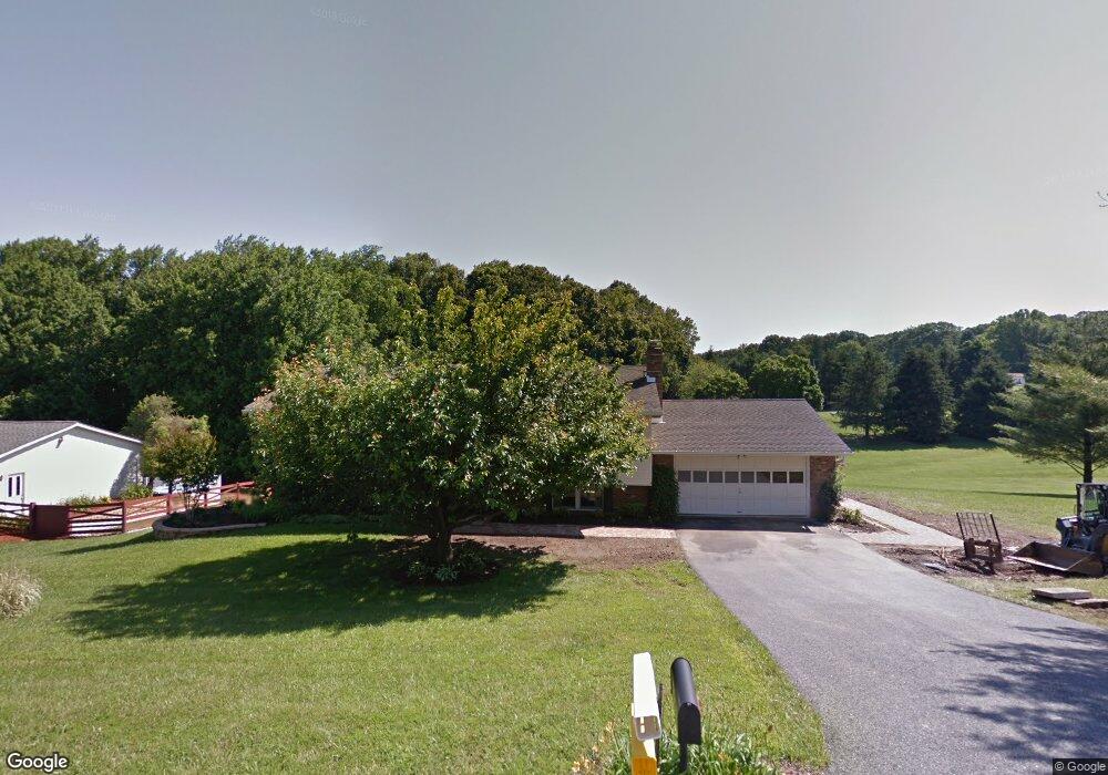
2187 Timothy Dr Westminster, MD 21157
Estimated Value: $435,177 - $537,000
Studio
2
Baths
1,488
Sq Ft
$339/Sq Ft
Est. Value
About This Home
This home is located at 2187 Timothy Dr, Westminster, MD 21157 and is currently estimated at $504,294, approximately $338 per square foot. 2187 Timothy Dr is a home located in Carroll County with nearby schools including Winfield Elementary School, Mount Airy Middle School, and South Carroll High School.
Ownership History
Date
Name
Owned For
Owner Type
Purchase Details
Closed on
Dec 22, 1986
Sold by
Banas Jerome S
Bought by
Alles Brian F and Alles Catherine D
Current Estimated Value
Home Financials for this Owner
Home Financials are based on the most recent Mortgage that was taken out on this home.
Original Mortgage
$80,000
Interest Rate
9.3%
Purchase Details
Closed on
May 29, 1985
Sold by
Patton Contractors Inc
Bought by
Banas Jerome S
Purchase Details
Closed on
Jan 8, 1985
Sold by
Carrolco Inc
Bought by
Patton Contractors Inc
Create a Home Valuation Report for This Property
The Home Valuation Report is an in-depth analysis detailing your home's value as well as a comparison with similar homes in the area
Purchase History
| Date | Buyer | Sale Price | Title Company |
|---|---|---|---|
| Alles Brian F | $120,000 | -- | |
| Banas Jerome S | $101,900 | -- | |
| Patton Contractors Inc | $66,000 | -- |
Source: Public Records
Mortgage History
| Date | Status | Borrower | Loan Amount |
|---|---|---|---|
| Closed | Alles Brian F | $80,000 |
Source: Public Records
Tax History
| Year | Tax Paid | Tax Assessment Tax Assessment Total Assessment is a certain percentage of the fair market value that is determined by local assessors to be the total taxable value of land and additions on the property. | Land | Improvement |
|---|---|---|---|---|
| 2025 | $4,368 | $390,933 | $0 | $0 |
| 2024 | $4,155 | $365,700 | $180,000 | $185,700 |
| 2023 | $3,995 | $353,500 | $0 | $0 |
| 2022 | $3,882 | $341,300 | $0 | $0 |
| 2021 | $7,678 | $329,100 | $150,000 | $179,100 |
| 2020 | $3,736 | $328,300 | $0 | $0 |
| 2019 | $3,761 | $327,500 | $0 | $0 |
| 2018 | $3,718 | $326,700 | $150,000 | $176,700 |
| 2017 | $3,718 | $326,700 | $0 | $0 |
| 2016 | -- | $326,700 | $0 | $0 |
| 2015 | -- | $330,000 | $0 | $0 |
| 2014 | -- | $330,000 | $0 | $0 |
Source: Public Records
Map
Nearby Homes
- 3733 Ridge Rd
- Lot 15 Westview Rd
- Lot 15 Westview Dr
- 3174 Cardinal Dr
- 3026 Marston Rd
- 3011 Glenvue Dr
- 2900 Marston Rd
- 3002 Glenvue Dr
- 1618 Valley Dr
- 2514 W Liberty Rd
- 2613 Liberty Rd
- 3007 Merle Ct
- 4328 Ridge Rd Unit 13
- 4328 Ridge Rd Unit 14
- 4505 Gray Horse Dr
- 1211 Bloom Rd
- Parcel # 22 Sams Creek Rd
- 4525 Roop Rd
- 3895 Buffalo Rd
- 15539 Liberty Rd
- 2185 Timothy Dr
- 2189 Timothy Dr
- 2186 Timothy Dr
- 2183 Timothy Dr
- 2188 Timothy Dr
- 2184 Timothy Dr
- 3614 Ridge Rd
- 2190 Timothy Dr
- 2181 Timothy Dr
- 2182 Timothy Dr
- 2194 Timothy Dr
- 2210 Dulany Terrace
- 2208 Dulany Terrace
- 2195 Timothy Dr
- 2212 Dulany Terrace
- 2206 Dulany Terrace
- 2196 Timothy Dr
- 2179 Timothy Dr
- 2214 Dulany Terrace
- 2224 Dulany Terrace
Your Personal Tour Guide
Ask me questions while you tour the home.