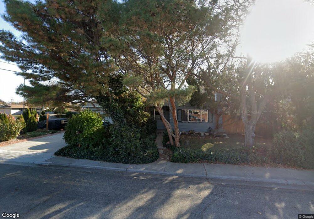
2188 N Charitan Dr Boise, ID 83713
West Boise NeighborhoodEstimated Value: $266,000 - $388,000
3
Beds
2
Baths
1,200
Sq Ft
$290/Sq Ft
Est. Value
About This Home
This home is located at 2188 N Charitan Dr, Boise, ID 83713 and is currently estimated at $347,647, approximately $289 per square foot. 2188 N Charitan Dr is a home located in Ada County with nearby schools including Ustick Elementary School, Lewis & Clark Middle School, and Centennial High School.
Ownership History
Date
Name
Owned For
Owner Type
Purchase Details
Closed on
Jul 14, 1999
Sold by
Margaret Richard and Margaret M
Bought by
Healy John M and Healy Doris M
Current Estimated Value
Home Financials for this Owner
Home Financials are based on the most recent Mortgage that was taken out on this home.
Original Mortgage
$84,350
Outstanding Balance
$23,329
Interest Rate
7.4%
Mortgage Type
Purchase Money Mortgage
Estimated Equity
$324,318
Create a Home Valuation Report for This Property
The Home Valuation Report is an in-depth analysis detailing your home's value as well as a comparison with similar homes in the area
Home Values in the Area
Average Home Value in this Area
Purchase History
| Date | Buyer | Sale Price | Title Company |
|---|---|---|---|
| Healy John M | -- | Transnation Title & Escrow I | |
| Healy John M | -- | Transnation Title & Escrow I |
Source: Public Records
Mortgage History
| Date | Status | Borrower | Loan Amount |
|---|---|---|---|
| Open | Healy John M | $84,350 |
Source: Public Records
Tax History Compared to Growth
Tax History
| Year | Tax Paid | Tax Assessment Tax Assessment Total Assessment is a certain percentage of the fair market value that is determined by local assessors to be the total taxable value of land and additions on the property. | Land | Improvement |
|---|---|---|---|---|
| 2025 | $1,033 | $316,800 | -- | -- |
| 2024 | $1,079 | $281,200 | -- | -- |
| 2023 | $1,079 | $280,000 | $0 | $0 |
| 2022 | $1,681 | $374,000 | $0 | $0 |
| 2021 | $1,552 | $302,000 | $0 | $0 |
| 2020 | $1,096 | $210,000 | $0 | $0 |
| 2019 | $1,285 | $200,300 | $0 | $0 |
| 2018 | $1,253 | $176,500 | $0 | $0 |
| 2017 | $1,282 | $169,800 | $0 | $0 |
| 2016 | $1,106 | $143,000 | $0 | $0 |
| 2015 | -- | $135,300 | $0 | $0 |
Source: Public Records
Map
Nearby Homes
- 10838 W Tidewater Ct
- 1951 N Hampton Rd Unit B6
- 2573 & 2575 N Dusty Ln
- 10163 W Holt St
- 2281 N Shaelyn Ln
- 2299 N Shaelyn Ln
- 2293 N Shaelyn Ln
- 11073 W Garverdale Ln
- 10742 W Ardyce Ln Unit 11
- 10319 W Ardyce St
- 9936 W Holt St
- 11336 W Poppy St
- 11349 W Marlinwood St
- 11303 W Tahiti St
- 9809 W Lupine St
- 1722 N Timathy Ln Unit 32/1
- 1716 N Timathy Ln
- 1708 N Timathy Ln Unit Lot 30/1
- 2791 N Siesta Ln
- 1609 N Impreza Ln Unit Lot 24/1
- 2188 Charitan Dr
- 2105 N Five Mile Rd
- 2134 N Farwell Ave
- 2106 N Farwell Ave
- 2141 N Five Mile Rd
- 2173 Charitan Dr
- 10570 W Lupine St
- 2091 N Five Mile Rd
- 10571 W Lupine St
- 2082 N Farwell Ave
- 2167 Charitan Dr
- 2160 Charitan Dr
- 10552 W Lupine St
- 2107 N Farwell Ave
- 10553 W Lupine St
- 10535 W Poppy St
- 10598 W Landmark Ct
- 2000 Charitan Dr
- 2000 N Charitan Dr
- 2099 N Farwell Ave