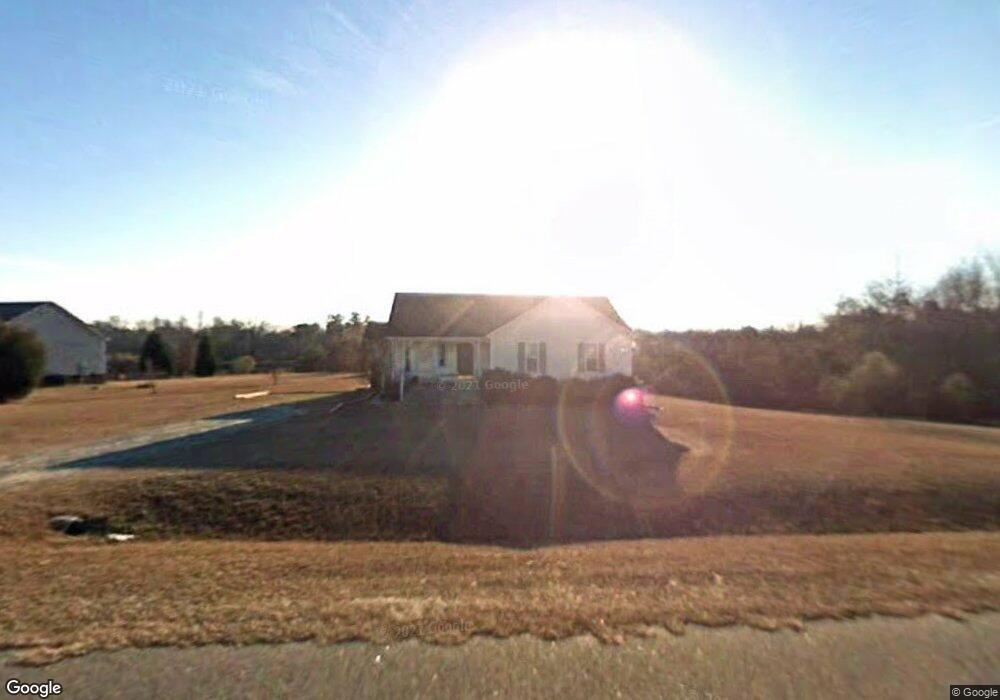
219 Amber Ln Willow Spring, NC 27592
Pleasant Grove NeighborhoodEstimated Value: $279,000 - $310,000
3
Beds
2
Baths
1,243
Sq Ft
$238/Sq Ft
Est. Value
About This Home
This home is located at 219 Amber Ln, Willow Spring, NC 27592 and is currently estimated at $295,330, approximately $237 per square foot. 219 Amber Ln is a home located in Johnston County with nearby schools including Dixon Road Elementary School, McGee's Crossroads Middle School, and West Johnston High School.
Ownership History
Date
Name
Owned For
Owner Type
Purchase Details
Closed on
Aug 28, 2020
Sold by
Tripp Charles W
Bought by
Tripp Charles W and Tripp Christal
Current Estimated Value
Home Financials for this Owner
Home Financials are based on the most recent Mortgage that was taken out on this home.
Original Mortgage
$140,000
Interest Rate
6.63%
Mortgage Type
New Conventional
Purchase Details
Closed on
Nov 15, 2005
Sold by
Tripp Elizabeth A
Bought by
Tripp Charles W
Create a Home Valuation Report for This Property
The Home Valuation Report is an in-depth analysis detailing your home's value as well as a comparison with similar homes in the area
Home Values in the Area
Average Home Value in this Area
Purchase History
| Date | Buyer | Sale Price | Title Company |
|---|---|---|---|
| Tripp Charles W | -- | Boston National Title | |
| Tripp Charles W | -- | None Available |
Source: Public Records
Mortgage History
| Date | Status | Borrower | Loan Amount |
|---|---|---|---|
| Previous Owner | Tripp Charles W | $140,000 |
Source: Public Records
Tax History
| Year | Tax Paid | Tax Assessment Tax Assessment Total Assessment is a certain percentage of the fair market value that is determined by local assessors to be the total taxable value of land and additions on the property. | Land | Improvement |
|---|---|---|---|---|
| 2025 | $1,697 | $267,260 | $80,000 | $187,260 |
| 2024 | $1,342 | $165,710 | $48,600 | $117,110 |
| 2023 | $1,301 | $165,710 | $48,600 | $117,110 |
| 2022 | $1,342 | $165,710 | $48,600 | $117,110 |
| 2021 | $1,342 | $165,710 | $48,600 | $117,110 |
| 2020 | $1,392 | $165,710 | $48,600 | $117,110 |
| 2019 | $1,359 | $165,710 | $48,600 | $117,110 |
| 2018 | $957 | $113,970 | $34,560 | $79,410 |
| 2017 | $957 | $113,970 | $34,560 | $79,410 |
| 2016 | $957 | $113,970 | $34,560 | $79,410 |
| 2015 | $957 | $113,970 | $34,560 | $79,410 |
| 2014 | $957 | $113,970 | $34,560 | $79,410 |
Source: Public Records
Map
Nearby Homes
- 102 Ina Joe Place
- 127 Wagon Trail
- 55 Dolores Ct
- 200 Reese Dr
- 420 Beulah Milton Dr
- 142 Jacqueline Dr
- 47 Kiowa Ct
- 58 Tractor Place
- 85 Landlocked Cir
- 57 Bowie Ct
- 50 Linden Ct
- 1941 White Memorial Church Rd
- 18 N Bream Ct
- 72 S Bream Ct
- 72 S Bream Ct Unit Lot 11
- 108 Blueberry Ln
- 106 S Bream Ct Unit Lot 10
- 106 S Bream Ct
- 105 S Bream Ct Unit Lot 5
- 105 S Bream Ct
- 211 Amber Ln
- 220 Amber Ln
- 216 Amber Ln
- 212 Amber Ln
- 501 Carolina Ave
- 207 Amber Ln
- 505 Carolina Ave
- 208 Amber Ln
- 203 Amber Ln
- 204 Amber Ln
- 509 Carolina Ave
- 89 Sherron Ridge Dr
- 500 Carolina Ave
- 300 Amber Ln
- 400 Morning View Ct
- 504 Carolina Ave
- 515 Carolina Ave
- 112 Amber Ln
- 404 Morning View Ct
- 401 Morning View Ct
Your Personal Tour Guide
Ask me questions while you tour the home.