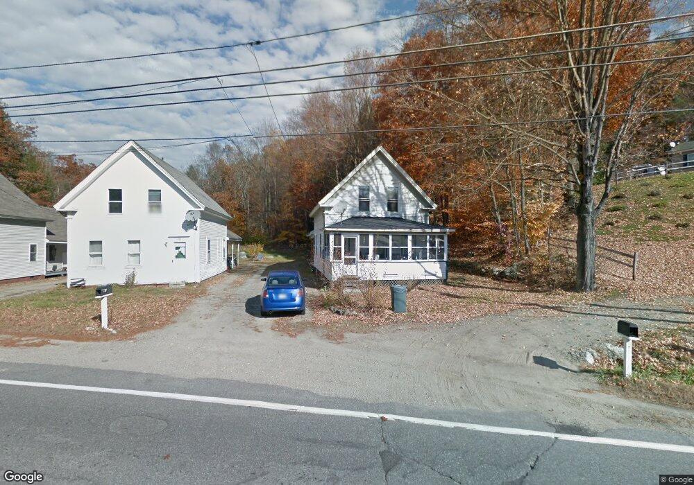
219 Ashuelot Main St Ashuelot, NH 03441
Estimated Value: $191,425 - $306,000
3
Beds
1
Bath
1,696
Sq Ft
$133/Sq Ft
Est. Value
About This Home
This home is located at 219 Ashuelot Main St, Ashuelot, NH 03441 and is currently estimated at $225,106, approximately $132 per square foot. 219 Ashuelot Main St is a home located in Cheshire County with nearby schools including Winchester School, Mayland Early College High School, and Keene High School.
Ownership History
Date
Name
Owned For
Owner Type
Purchase Details
Closed on
May 2, 2007
Sold by
Osullivan Daryl
Bought by
Marshall Jason M
Current Estimated Value
Home Financials for this Owner
Home Financials are based on the most recent Mortgage that was taken out on this home.
Original Mortgage
$72,000
Outstanding Balance
$43,939
Interest Rate
6.23%
Mortgage Type
Purchase Money Mortgage
Estimated Equity
$181,167
Create a Home Valuation Report for This Property
The Home Valuation Report is an in-depth analysis detailing your home's value as well as a comparison with similar homes in the area
Home Values in the Area
Average Home Value in this Area
Purchase History
| Date | Buyer | Sale Price | Title Company |
|---|---|---|---|
| Marshall Jason M | $90,000 | -- |
Source: Public Records
Mortgage History
| Date | Status | Borrower | Loan Amount |
|---|---|---|---|
| Open | Marshall Jason M | $72,000 |
Source: Public Records
Tax History Compared to Growth
Tax History
| Year | Tax Paid | Tax Assessment Tax Assessment Total Assessment is a certain percentage of the fair market value that is determined by local assessors to be the total taxable value of land and additions on the property. | Land | Improvement |
|---|---|---|---|---|
| 2024 | $3,586 | $122,600 | $27,600 | $95,000 |
| 2023 | $3,884 | $122,600 | $27,600 | $95,000 |
| 2022 | $3,519 | $122,600 | $27,600 | $95,000 |
| 2021 | $3,897 | $122,600 | $27,600 | $95,000 |
| 2020 | $3,527 | $122,600 | $27,600 | $95,000 |
| 2019 | $3,767 | $105,700 | $23,100 | $82,600 |
| 2018 | $3,671 | $105,700 | $23,100 | $82,600 |
| 2016 | $3,261 | $106,800 | $23,100 | $83,700 |
| 2015 | $3,266 | $106,800 | $23,100 | $83,700 |
| 2014 | $3,504 | $114,600 | $25,700 | $88,900 |
| 2013 | $3,522 | $114,600 | $25,700 | $88,900 |
Source: Public Records
Map
Nearby Homes
- 0 Ashuelot Main St Unit 4978464
- 159 Ashuelot Main St
- 406 Back Ashuelot Rd
- 11 Cream Pot Hill Rd
- 12 Todd Hill Rd
- 21 Clark Rd
- 32 Main St
- 153 Back Ashuelot Rd
- 231 Chesterfield Rd
- 12 Miner Ct
- 82 Howard St
- 263 Old Chesterfield Rd
- 56 Ashuelot St
- 19 Back Ashuelot Rd
- 95 Plain Rd
- 100 Main St
- 75 Hinsdale Heights
- 4 Tara Hill Ln
- 12 Wetherby Dr
- 142 Brattleboro Rd
- 221 Ashuelot Main St
- 223 Ashuelot Main St
- 213 Ashuelot Main St
- 218 Ashuelot Main St
- 214 Ashuelot Main St
- 209 Ashuelot Main St
- 210 Ashuelot Main St
- 205 Ashuelot Main St
- 205 Ashuelot Main St
- 0 Ashuelot Main St
- 9 Dubriske Ct
- 4 Elderberry Ln
- 5 Dubriske Ct
- 196 Ashuelot Main St
- 10 Elderberry Ln
- 22 Broad Brook Rd
- 30 Broad Brook Rd
- 18 Broad Brook Rd
- 25 Broad Brook Rd
- 23 Broad Brook Rd