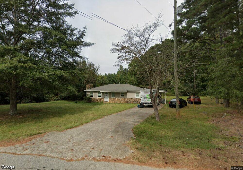
219 Barrett Rd Bowdon, GA 30108
Estimated Value: $124,000 - $228,000
2
Beds
1
Bath
1,260
Sq Ft
$150/Sq Ft
Est. Value
About This Home
This home is located at 219 Barrett Rd, Bowdon, GA 30108 and is currently estimated at $189,164, approximately $150 per square foot. 219 Barrett Rd is a home located in Carroll County with nearby schools including Bowdon Elementary School, Bowdon Middle School, and Bowdon High School.
Ownership History
Date
Name
Owned For
Owner Type
Purchase Details
Closed on
May 5, 2015
Sold by
Hammond Judy A
Bought by
Mcintosh Properties Llc
Current Estimated Value
Purchase Details
Closed on
Jun 6, 2006
Sold by
Hammond Judy A
Bought by
Hammond Judy A
Purchase Details
Closed on
Dec 3, 2005
Sold by
Hammond Charles Q and Hammond Judy A
Bought by
Hammond Judy A
Purchase Details
Closed on
Jul 28, 1992
Bought by
Hammond Charles Q and Hammond Judy A
Create a Home Valuation Report for This Property
The Home Valuation Report is an in-depth analysis detailing your home's value as well as a comparison with similar homes in the area
Purchase History
| Date | Buyer | Sale Price | Title Company |
|---|---|---|---|
| Mcintosh Properties Llc | $20,100 | -- | |
| Hammond Judy A | -- | -- | |
| Hammond Judy A | -- | -- | |
| Hammond Charles Q | $40,000 | -- |
Source: Public Records
Tax History
| Year | Tax Paid | Tax Assessment Tax Assessment Total Assessment is a certain percentage of the fair market value that is determined by local assessors to be the total taxable value of land and additions on the property. | Land | Improvement |
|---|---|---|---|---|
| 2025 | $1,031 | $46,086 | $8,775 | $37,311 |
| 2024 | $724 | $32,008 | $2,090 | $29,918 |
| 2023 | $724 | $32,009 | $2,091 | $29,918 |
| 2022 | $803 | $32,009 | $4,680 | $27,329 |
| 2021 | $593 | $23,134 | $2,042 | $21,092 |
| 2020 | $594 | $23,134 | $2,042 | $21,092 |
| 2019 | $599 | $23,134 | $3,404 | $19,730 |
| 2018 | $194 | $7,379 | $704 | $6,675 |
| 2017 | $194 | $7,379 | $704 | $6,675 |
| 2016 | $165 | $20,016 | $1,910 | $18,106 |
| 2015 | $422 | $15,108 | $3,117 | $11,991 |
| 2014 | -- | $18,114 | $3,117 | $14,997 |
Source: Public Records
Map
Nearby Homes
- 112 Scarlett Place Dr Unit 36
- 112 Scarlett Place Dr
- 216 Rhett Dr
- 216 Rhett Dr Unit 12
- 152 Scarlett Place Dr
- 313 Melanie Ct Unit 26
- 313 Melanie Ct
- 309 Melanie Ct
- 309 Melanie Ct Unit 25
- 427 E College St
- 460 Sally Ann Cir
- 400/460 Sally Ann Cir
- 310 Pine St
- 257 N Carroll St
- 6.41 ac N Carroll St & Ave W
- 247 Rome St
- 0 Hwy 100 Unit LotWP001 24911780
- 0 Hwy 100 Unit 10541558
- 485 West Ave
- 0 Magnolia St Unit 7657311
- 178 Barrett Rd Unit 137
- 178 Barrett Rd
- 222 Barrett Rd
- 230 Barrett Rd
- 237 Barrett Rd
- 243 Barrett Rd
- 195 Barrett Rd
- 169 Barrett Rd
- 164 Barrett Rd
- 207 Barrett Rd
- 159 Barrett Rd
- 291 Barrett Rd
- 276 Barrett Rd
- 280 Smith Ave
- 828 Highway 166 E Unit 828/830
- 808 E College St
- 808 E College St
- 311 Barrett Rd
- 100 Scarlett Place Dr
- 100 Scarlett Place Dr Unit 39
Your Personal Tour Guide
Ask me questions while you tour the home.