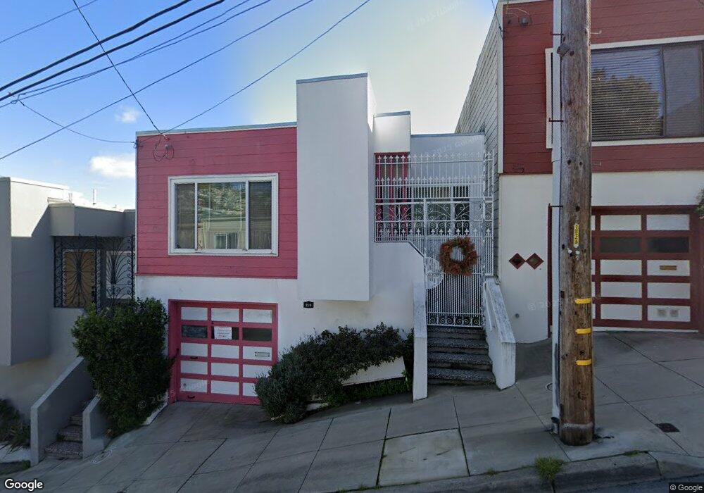
219 Bradford St San Francisco, CA 94110
Bernal Heights NeighborhoodEstimated Value: $980,762 - $1,364,000
3
Beds
1
Bath
1,200
Sq Ft
$972/Sq Ft
Est. Value
About This Home
This home is located at 219 Bradford St, San Francisco, CA 94110 and is currently estimated at $1,166,941, approximately $972 per square foot. 219 Bradford St is a home located in San Francisco County with nearby schools including Leonard R. Flynn Elementary, James Lick Middle School, and Donum Dei Classical Academy.
Ownership History
Date
Name
Owned For
Owner Type
Purchase Details
Closed on
Sep 29, 2005
Sold by
Berry Ann Elizabeth
Bought by
Berry Ann Elizabeth
Current Estimated Value
Purchase Details
Closed on
Mar 15, 2002
Sold by
Berry Ann Elizabeth
Bought by
Berry Ann Elizabeth
Home Financials for this Owner
Home Financials are based on the most recent Mortgage that was taken out on this home.
Original Mortgage
$66,500
Interest Rate
6.37%
Create a Home Valuation Report for This Property
The Home Valuation Report is an in-depth analysis detailing your home's value as well as a comparison with similar homes in the area
Home Values in the Area
Average Home Value in this Area
Purchase History
| Date | Buyer | Sale Price | Title Company |
|---|---|---|---|
| Berry Ann Elizabeth | -- | -- | |
| Berry Ann Elizabeth | -- | First American Title Ins Co |
Source: Public Records
Mortgage History
| Date | Status | Borrower | Loan Amount |
|---|---|---|---|
| Closed | Berry Ann Elizabeth | $66,500 |
Source: Public Records
Tax History Compared to Growth
Tax History
| Year | Tax Paid | Tax Assessment Tax Assessment Total Assessment is a certain percentage of the fair market value that is determined by local assessors to be the total taxable value of land and additions on the property. | Land | Improvement |
|---|---|---|---|---|
| 2025 | $705 | $58,843 | $14,751 | $44,092 |
| 2024 | $705 | $57,690 | $14,462 | $43,228 |
| 2023 | $695 | $56,560 | $14,179 | $42,381 |
| 2022 | $683 | $55,451 | $13,901 | $41,550 |
| 2021 | $671 | $54,365 | $13,629 | $40,736 |
| 2020 | $672 | $53,809 | $13,490 | $40,319 |
| 2019 | $651 | $52,755 | $13,226 | $39,529 |
| 2018 | $631 | $51,721 | $12,967 | $38,754 |
| 2017 | $623 | $50,708 | $12,713 | $37,995 |
| 2016 | $583 | $49,714 | $12,464 | $37,250 |
| 2015 | $575 | $48,968 | $12,277 | $36,691 |
| 2014 | $561 | $48,010 | $12,037 | $35,973 |
Source: Public Records
Map
Nearby Homes
- 80 Bronte St
- 332 Bradford St
- 76 Putnam St
- 407 Banks St
- 456 Nevada St
- 3954 Folsom St
- 4136 Folsom St
- 225 Moultrie St
- 251 Ripley St
- 4190 Folsom St
- 1651 Treat Ave
- 607 Anderson St
- 334 Alemany Blvd Unit 3
- 225 Montcalm St
- 4243 Folsom St
- 151 Sweeny St
- 249 Bocana St
- 255 Bocana St
- 363 Park St
- 3237 Harrison St
- 223 Bradford St
- 215 Bradford St
- 227 Bradford St
- 211 Bradford St
- 822 Peralta Ave
- 816 Peralta Ave Unit 818
- 826 Peralta Ave
- 205 Bradford St
- 808 Peralta Ave Unit 810
- 830 Peralta Ave
- 239 Bradford St
- 834 Peralta Ave
- 1500 Cortland Ave
- 214 Bradford St
- 210 Bradford St
- 216 Bradford St
- 1550 Cortland Ave
- 1498 Cortland Ave
- 243 Bradford St
- 848 Peralta Ave