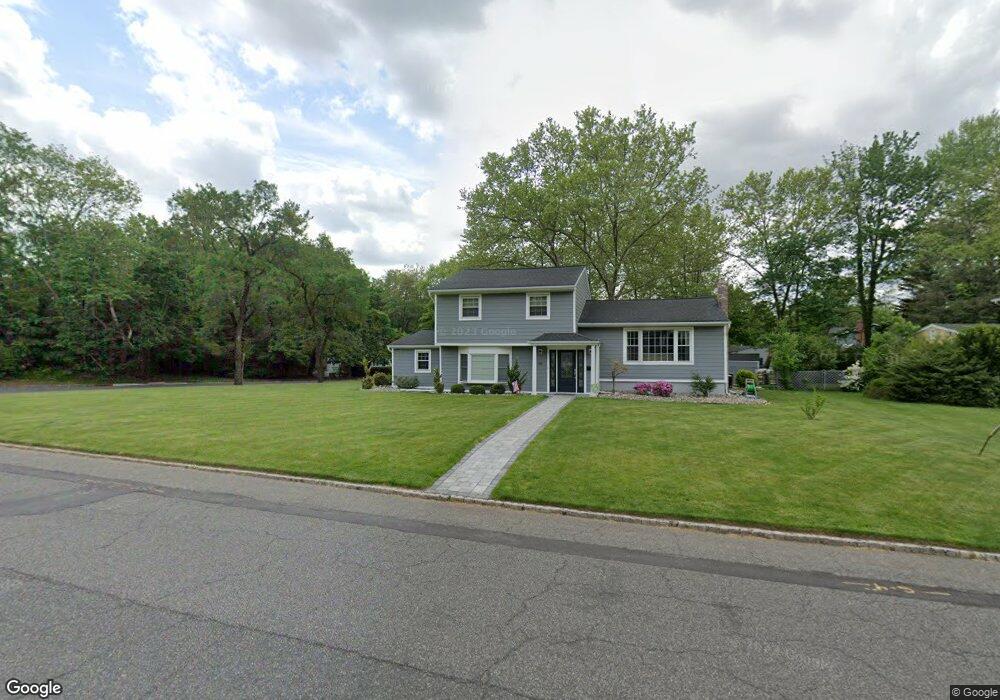
219 Commonwealth Ave New Providence, NJ 07974
Estimated Value: $951,605 - $1,058,000
--
Bed
--
Bath
2,091
Sq Ft
$480/Sq Ft
Est. Value
About This Home
This home is located at 219 Commonwealth Ave, New Providence, NJ 07974 and is currently estimated at $1,004,151, approximately $480 per square foot. 219 Commonwealth Ave is a home located in Union County with nearby schools including New Providence High School, The Academy of Our Lady of Peace, and Oak Knoll School of the Holy Child.
Ownership History
Date
Name
Owned For
Owner Type
Purchase Details
Closed on
Jul 15, 2010
Sold by
Mcaneny Michael D and Mcaneny Valerie
Bought by
Mcaneny Michael D and Mcaneny Valerie
Current Estimated Value
Home Financials for this Owner
Home Financials are based on the most recent Mortgage that was taken out on this home.
Original Mortgage
$448,000
Outstanding Balance
$298,297
Interest Rate
4.76%
Mortgage Type
New Conventional
Estimated Equity
$705,854
Purchase Details
Closed on
Jun 17, 2008
Sold by
Fusco Alfred M and Fusco Jeanne J
Bought by
Mcaneny Michael D and Decolli Valerie
Home Financials for this Owner
Home Financials are based on the most recent Mortgage that was taken out on this home.
Original Mortgage
$458,200
Interest Rate
6.1%
Mortgage Type
Purchase Money Mortgage
Create a Home Valuation Report for This Property
The Home Valuation Report is an in-depth analysis detailing your home's value as well as a comparison with similar homes in the area
Home Values in the Area
Average Home Value in this Area
Purchase History
| Date | Buyer | Sale Price | Title Company |
|---|---|---|---|
| Mcaneny Michael D | -- | New Jersey Title Ins Co | |
| Mcaneny Michael D | $579,000 | None Available |
Source: Public Records
Mortgage History
| Date | Status | Borrower | Loan Amount |
|---|---|---|---|
| Open | Mcaneny Michael D | $448,000 | |
| Closed | Mcaneny Michael D | $458,200 |
Source: Public Records
Tax History Compared to Growth
Tax History
| Year | Tax Paid | Tax Assessment Tax Assessment Total Assessment is a certain percentage of the fair market value that is determined by local assessors to be the total taxable value of land and additions on the property. | Land | Improvement |
|---|---|---|---|---|
| 2025 | $15,600 | $302,200 | $144,700 | $157,500 |
| 2024 | $15,131 | $302,200 | $144,700 | $157,500 |
| 2023 | $15,131 | $302,200 | $144,700 | $157,500 |
| 2022 | $14,923 | $302,200 | $144,700 | $157,500 |
| 2021 | $14,814 | $302,200 | $144,700 | $157,500 |
| 2020 | $13,749 | $280,600 | $144,700 | $135,900 |
| 2019 | $13,665 | $280,600 | $144,700 | $135,900 |
| 2018 | $13,595 | $280,600 | $144,700 | $135,900 |
| 2017 | $13,373 | $280,600 | $144,700 | $135,900 |
| 2016 | $13,185 | $280,600 | $144,700 | $135,900 |
| 2015 | $13,003 | $280,600 | $144,700 | $135,900 |
| 2014 | $12,807 | $280,600 | $144,700 | $135,900 |
Source: Public Records
Map
Nearby Homes
- 197 Elkwood Ave
- 100 Commonwealth Ave
- 283 Riveredge Dr
- 175 Terrace Dr
- 146 Riveredge Dr
- 29 Walton Ave
- 2F Terrace Dr Unit F
- 17B Heritage Dr Unit B
- 1200 Springfield Ave Unit 1B
- 21G Heritage Dr Unit G
- 5 Kincaid Ln
- 54 Badgley Dr
- 19 Division Ave
- 32 Charnwood Rd
- 54 Canterbury Rd
- 43 Passaic Ave
- 17 Hilltop Terrace
- 72 Central Ave
- 34 Grant Ave
- 32 Marion Ave
- 209 Commonwealth Ave
- 175 Elkwood Ave
- 220 Commonwealth Ave
- 174 Elkwood Ave
- 151 Elkwood Ave
- 120 Pine Way
- 183 Elkwood Ave
- 195 Commonwealth Ave
- 6 Woodbine Cir
- 13 Woodbine Cir
- 106 Pine Way
- 191 Elkwood Ave
- 200 Commonwealth Ave
- 107 Pitney Ave
- 187 Commonwealth Ave
- 144 Pine Way
- 178 Elkwood Ave
- 194 Commonwealth Ave
- 18 Woodbine Cir
- 147 Madison Ave