219 Concord Rd Chestertown, MD 21620
Kingstown NeighborhoodEstimated Value: $280,000 - $312,000
Studio
1
Bath
1,056
Sq Ft
$282/Sq Ft
Est. Value
About This Home
This home is located at 219 Concord Rd, Chestertown, MD 21620 and is currently estimated at $297,396, approximately $281 per square foot. 219 Concord Rd is a home located in Queen Anne's County with nearby schools including Church Hill Elementary School, Sudlersville Middle School, and Queen Anne's County High School.
Ownership History
Date
Name
Owned For
Owner Type
Purchase Details
Closed on
Aug 26, 1999
Sold by
Thompson Robert D
Bought by
Kellum Sharon
Current Estimated Value
Purchase Details
Closed on
Jul 12, 1985
Sold by
Lynch Helen V
Bought by
Thompson Robert D and Thompson Mary S
Home Financials for this Owner
Home Financials are based on the most recent Mortgage that was taken out on this home.
Original Mortgage
$20,402
Interest Rate
12.03%
Create a Home Valuation Report for This Property
The Home Valuation Report is an in-depth analysis detailing your home's value as well as a comparison with similar homes in the area
Home Values in the Area
Average Home Value in this Area
Purchase History
| Date | Buyer | Sale Price | Title Company |
|---|---|---|---|
| Kellum Sharon | $91,500 | -- | |
| Thompson Robert D | $45,000 | -- |
Source: Public Records
Mortgage History
| Date | Status | Borrower | Loan Amount |
|---|---|---|---|
| Previous Owner | Thompson Robert D | $20,402 | |
| Closed | Kellum Sharon | -- |
Source: Public Records
Tax History
| Year | Tax Paid | Tax Assessment Tax Assessment Total Assessment is a certain percentage of the fair market value that is determined by local assessors to be the total taxable value of land and additions on the property. | Land | Improvement |
|---|---|---|---|---|
| 2025 | $1,718 | $199,900 | $76,000 | $123,900 |
| 2024 | $1,630 | $183,067 | $0 | $0 |
| 2023 | $1,486 | $166,233 | $0 | $0 |
| 2022 | $1,467 | $149,400 | $56,000 | $93,400 |
| 2021 | $1,435 | $146,367 | $0 | $0 |
| 2020 | $1,435 | $143,333 | $0 | $0 |
| 2019 | $1,406 | $140,300 | $56,000 | $84,300 |
| 2018 | $1,406 | $140,300 | $56,000 | $84,300 |
| 2017 | $1,406 | $140,300 | $0 | $0 |
| 2016 | -- | $141,100 | $0 | $0 |
| 2015 | $1,246 | $141,100 | $0 | $0 |
| 2014 | $1,246 | $141,100 | $0 | $0 |
Source: Public Records
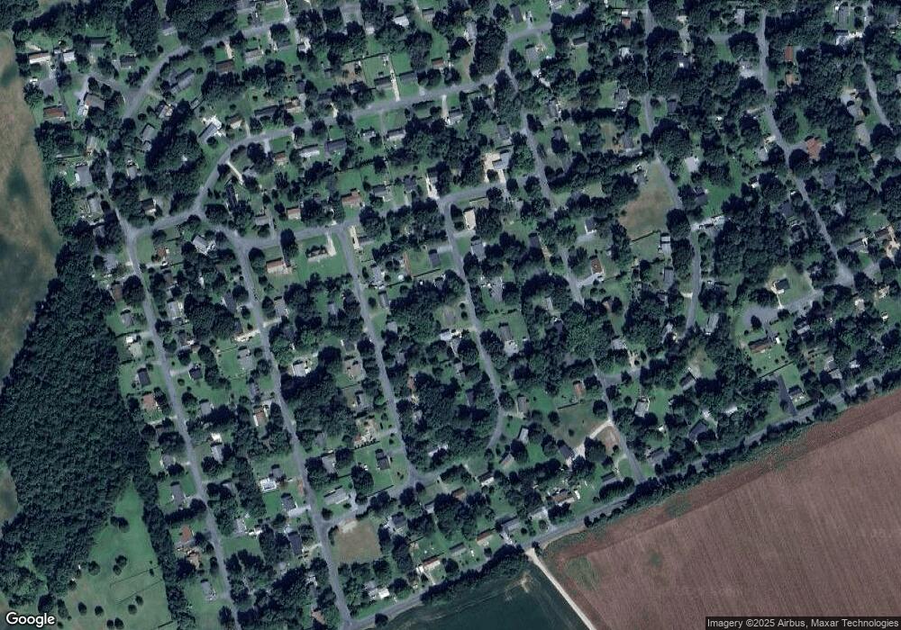
Map
Nearby Homes
- 213 Central Dr
- 129 Parma Rd
- 222 Dutchess Rd
- 109 Wilton Rd
- 119 Darden Rd
- 0 East St
- 109 S Water St
- 105 High St
- 204 Rolling Rd
- 228 S Water St
- 206 S Water St
- 200 Washington Ave
- 216 Blakefield Dr
- 349 & 351 High St
- 0 Elm St Unit MDKE2003590
- 349 High St
- 201 Greenwood Ave
- 222 Mount Vernon Ave
- 121 Primrose Rd
- 304 Hadaway Dr