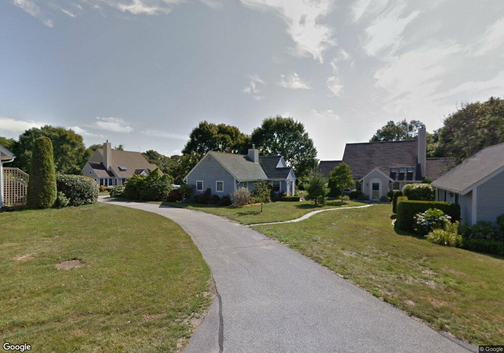
219 Corey Ln Middletown, RI 02842
Estimated Value: $562,000 - $630,000
2
Beds
2
Baths
1,364
Sq Ft
$437/Sq Ft
Est. Value
About This Home
This home is located at 219 Corey Ln, Middletown, RI 02842 and is currently estimated at $595,789, approximately $436 per square foot. 219 Corey Ln is a home located in Newport County with nearby schools including Middletown High School, St Michael's Country Day School, and St George's School.
Ownership History
Date
Name
Owned For
Owner Type
Purchase Details
Closed on
Oct 21, 2020
Sold by
Moore Donald M and Moore Patricia K
Bought by
Moore Ft
Current Estimated Value
Purchase Details
Closed on
Apr 14, 1994
Sold by
Rees Judson G and Rees Diane
Bought by
Moore Donald M and Moore Patricia
Home Financials for this Owner
Home Financials are based on the most recent Mortgage that was taken out on this home.
Original Mortgage
$65,000
Interest Rate
7.45%
Create a Home Valuation Report for This Property
The Home Valuation Report is an in-depth analysis detailing your home's value as well as a comparison with similar homes in the area
Home Values in the Area
Average Home Value in this Area
Purchase History
| Date | Buyer | Sale Price | Title Company |
|---|---|---|---|
| Moore Ft | -- | None Available | |
| Moore Donald M | $110,000 | -- |
Source: Public Records
Mortgage History
| Date | Status | Borrower | Loan Amount |
|---|---|---|---|
| Previous Owner | Moore Donald M | $41,500 | |
| Previous Owner | Moore Donald M | $65,000 |
Source: Public Records
Tax History Compared to Growth
Tax History
| Year | Tax Paid | Tax Assessment Tax Assessment Total Assessment is a certain percentage of the fair market value that is determined by local assessors to be the total taxable value of land and additions on the property. | Land | Improvement |
|---|---|---|---|---|
| 2025 | $5,696 | $483,100 | $0 | $483,100 |
| 2024 | $5,440 | $483,100 | $0 | $483,100 |
| 2023 | $4,506 | $357,900 | $0 | $357,900 |
| 2022 | $4,302 | $357,900 | $0 | $357,900 |
| 2021 | $4,302 | $357,900 | $0 | $357,900 |
| 2020 | $4,537 | $329,700 | $0 | $329,700 |
| 2018 | $4,533 | $329,700 | $0 | $329,700 |
| 2016 | $4,074 | $264,200 | $0 | $264,200 |
| 2015 | $3,990 | $265,300 | $0 | $265,300 |
| 2014 | $3,712 | $231,000 | $0 | $231,000 |
| 2013 | $3,629 | $231,000 | $0 | $231,000 |
Source: Public Records
Map
Nearby Homes
- 223 Corey Ln
- 310 Corey Ln
- 318 Corey Ln
- 119 Corey Ln
- 980 Green End Ave
- 0 Honeyman Ave
- 476 Green End Ave
- 0 Saltwood Dr
- 6 Wabasso Terrace
- 16 Sachuest Dr
- 74 Valley Rd
- 0 Wolcott Ave
- 533 Forest Park
- 841 Forest Park
- 529 Forest Park
- 55 John Clarke Rd Unit 8
- 55 John Clarke Rd Unit 3
- 521 Forest Park
- 836 Forest Park
- 138 Green End Ave
- 220 Corey Ln
- 221 Corey Ln
- 217 Corey Ln
- 218 Corey Ln
- 216 Corey Ln
- 215 Corey Ln
- 222 Corey Ln
- 214 Corey Ln
- 213 Corey Ln
- 225 Corey Ln
- 315 Berkeley Ave
- 313 Berkeley Ave Unit 1B
- 313 Berkeley Ave
- 313 Berkeley Ave Unit 1A
- 313 Berkeley Ave Unit 2B
- 313 Berkeley Ave Unit 3
- 313 Berkeley Ave Unit 1B
- 212 Corey Ln
- 210 Corey Ln
- 211 Corey Ln