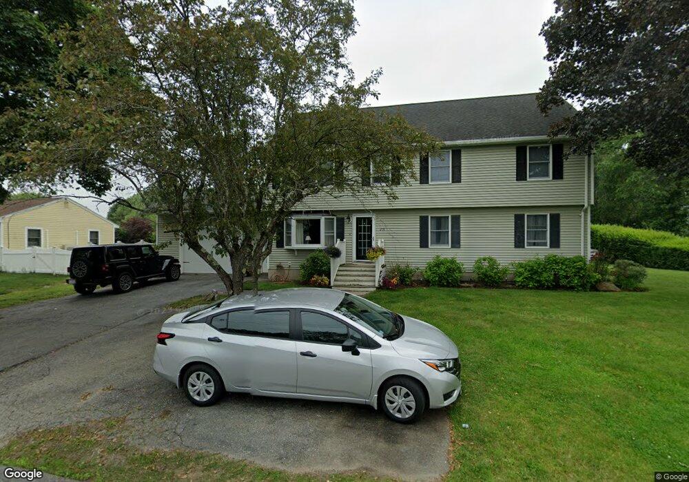
219 Crosby Rd Dracut, MA 01826
Estimated Value: $741,000 - $807,000
4
Beds
3
Baths
2,402
Sq Ft
$316/Sq Ft
Est. Value
About This Home
This home is located at 219 Crosby Rd, Dracut, MA 01826 and is currently estimated at $760,067, approximately $316 per square foot. 219 Crosby Rd is a home located in Middlesex County with nearby schools including George H. Englesby Elementary School, Richardson Middle School, and Dracut Senior High School.
Ownership History
Date
Name
Owned For
Owner Type
Purchase Details
Closed on
Nov 17, 2004
Sold by
Rutina Elaine E
Bought by
French David M
Current Estimated Value
Home Financials for this Owner
Home Financials are based on the most recent Mortgage that was taken out on this home.
Original Mortgage
$290,000
Outstanding Balance
$144,912
Interest Rate
5.8%
Mortgage Type
Purchase Money Mortgage
Estimated Equity
$615,155
Create a Home Valuation Report for This Property
The Home Valuation Report is an in-depth analysis detailing your home's value as well as a comparison with similar homes in the area
Home Values in the Area
Average Home Value in this Area
Purchase History
| Date | Buyer | Sale Price | Title Company |
|---|---|---|---|
| French David M | $362,500 | -- |
Source: Public Records
Mortgage History
| Date | Status | Borrower | Loan Amount |
|---|---|---|---|
| Open | French David M | $290,000 |
Source: Public Records
Tax History Compared to Growth
Tax History
| Year | Tax Paid | Tax Assessment Tax Assessment Total Assessment is a certain percentage of the fair market value that is determined by local assessors to be the total taxable value of land and additions on the property. | Land | Improvement |
|---|---|---|---|---|
| 2025 | $6,727 | $664,700 | $210,100 | $454,600 |
| 2024 | $6,474 | $619,500 | $200,000 | $419,500 |
| 2023 | $6,269 | $541,400 | $173,900 | $367,500 |
| 2022 | $6,171 | $502,100 | $158,100 | $344,000 |
| 2021 | $6,046 | $464,700 | $143,600 | $321,100 |
| 2020 | $5,830 | $436,700 | $139,300 | $297,400 |
| 2019 | $5,551 | $403,700 | $132,600 | $271,100 |
| 2018 | $6,727 | $391,900 | $132,600 | $259,300 |
| 2017 | $5,890 | $391,900 | $132,600 | $259,300 |
| 2016 | $5,319 | $358,400 | $127,500 | $230,900 |
| 2015 | $5,103 | $341,800 | $127,500 | $214,300 |
| 2014 | $4,747 | $327,600 | $127,500 | $200,100 |
Source: Public Records
Map
Nearby Homes
- 50 Stephen Ave
- 999 Hildreth St
- 20 Esther Way Unit 11
- 19 Esther Way Unit Lot 10
- 321 Old Marsh Hill Rd
- 26 Frank St
- 67 Lincoln Ln
- 190 Old Rd
- 167 Betty Ann Ln
- 174 Old Rd
- 35 Camilla Ave
- 83 Turgeon Ave
- 157 Old Rd
- 121 Old Marsh Hill Rd
- 1572 Bridge St
- 53 Vinal St
- 109 Meadow Creek Dr
- 14 Louis Farm Rd Unit 14
- 74 Tennis Plaza Rd Unit 34
- 9 Cornstalk Ln
- 227 Crosby Rd
- 211 Crosby Rd
- 235 Crosby Rd
- 210 Crosby Rd
- 181 Crosby Rd
- 220 Crosby Rd
- 243 Crosby Rd
- 194 Crosby Rd
- 230 Crosby Rd
- 3 Black Oak Ln Unit 14
- 8 Keating Ln
- 348 Colburn Ave
- 16 Keating Ln
- 6 Black Oak Ln Unit 34
- 17 Black Oak Ln
- 340 Colburn Ave
- 24 Keating Ln
- 12 Black Oak Ln
- 111 Cross Rd
- 17 Keating Ln